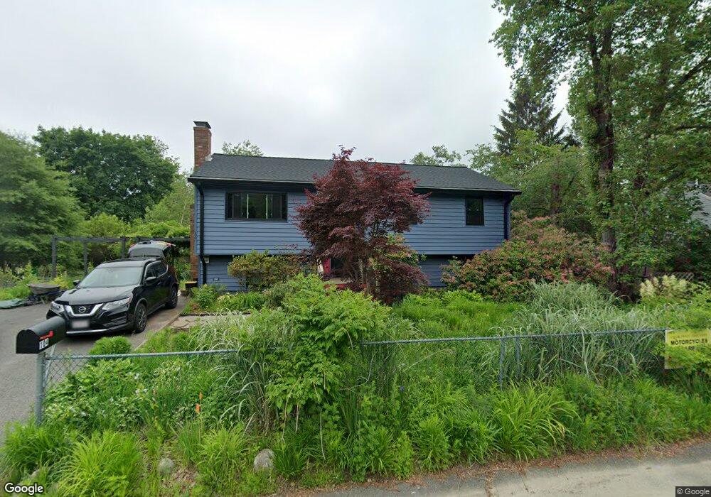
104 Hubbard Ave Brockton, MA 02301
Campello NeighborhoodEstimated Value: $534,000 - $583,000
3
Beds
1
Bath
1,748
Sq Ft
$323/Sq Ft
Est. Value
About This Home
This home is located at 104 Hubbard Ave, Brockton, MA 02301 and is currently estimated at $565,397, approximately $323 per square foot. 104 Hubbard Ave is a home located in Plymouth County with nearby schools including Davis K-8 School, John F. Kennedy Elementary School, and South Middle School.
Ownership History
Date
Name
Owned For
Owner Type
Purchase Details
Closed on
Nov 29, 1993
Sold by
30-32 East Chestnut St
Bought by
Murphy William B and Murphy Cynthia J
Current Estimated Value
Home Financials for this Owner
Home Financials are based on the most recent Mortgage that was taken out on this home.
Original Mortgage
$106,800
Interest Rate
6.72%
Mortgage Type
Purchase Money Mortgage
Purchase Details
Closed on
Aug 3, 1987
Sold by
Schuh Doris K
Bought by
Cella Anthony J
Create a Home Valuation Report for This Property
The Home Valuation Report is an in-depth analysis detailing your home's value as well as a comparison with similar homes in the area
Home Values in the Area
Average Home Value in this Area
Purchase History
| Date | Buyer | Sale Price | Title Company |
|---|---|---|---|
| Murphy William B | $112,500 | -- | |
| Cella Anthony J | $143,500 | -- |
Source: Public Records
Mortgage History
| Date | Status | Borrower | Loan Amount |
|---|---|---|---|
| Open | Cella Anthony J | $50,000 | |
| Closed | Cella Anthony J | $106,800 | |
| Previous Owner | Cella Anthony J | $60,000 | |
| Previous Owner | Cella Anthony J | $11,000 |
Source: Public Records
Tax History Compared to Growth
Tax History
| Year | Tax Paid | Tax Assessment Tax Assessment Total Assessment is a certain percentage of the fair market value that is determined by local assessors to be the total taxable value of land and additions on the property. | Land | Improvement |
|---|---|---|---|---|
| 2025 | $5,974 | $493,300 | $157,200 | $336,100 |
| 2024 | $5,599 | $465,800 | $157,200 | $308,600 |
| 2023 | $5,414 | $417,100 | $107,300 | $309,800 |
| 2022 | $4,869 | $348,500 | $97,500 | $251,000 |
| 2021 | $4,698 | $324,000 | $89,600 | $234,400 |
| 2020 | $4,674 | $308,500 | $79,000 | $229,500 |
| 2019 | $4,399 | $283,100 | $75,100 | $208,000 |
| 2018 | $4,135 | $257,500 | $75,100 | $182,400 |
| 2017 | $3,838 | $238,400 | $75,100 | $163,300 |
| 2016 | $3,731 | $214,900 | $71,600 | $143,300 |
| 2015 | $3,577 | $197,100 | $71,600 | $125,500 |
| 2014 | $3,305 | $182,300 | $71,600 | $110,700 |
Source: Public Records
Map
Nearby Homes
- 358 Copeland St
- 15 Longworth Ave Unit 231
- 35 Longworth Ave Unit 17
- 13 Finny's Way
- 15 Fieldstone Dr
- 1 Fairway Dr
- 47 Southworth St
- 21 Roosevelt Ave
- 163 S Leyden St
- 16 Friendship Dr
- 115 Market St
- 223 Clinton St Unit 10
- 223 Clinton St Unit 3
- 18 American Ave
- 65 Tremont St
- 1036 Ash St
- 137 Channing Ave
- 977 Warren Ave
- 122 Sinclair Rd
- 139 Geralynn Dr
- 110 Hubbard Ave
- 57 Glendale Ave
- 63 Glendale Ave
- 115 Hubbard Ave
- 47 Glendale Ave
- 92 Hubbard Ave
- 126 Hubbard Ave
- 67 Glendale Ave
- 95 Hubbard Ave
- 71 Glendale Ave
- 125 Hubbard Ave
- 35 Glendale Ave
- 56 Glendale Ave
- 130 Hubbard Ave
- 86 Hubbard Ave
- 64 Glendale Ave
- 14 Stockholm Ave
- 77 Glendale Ave
- 11 Stockholm Ave
- 44 Glendale Ave