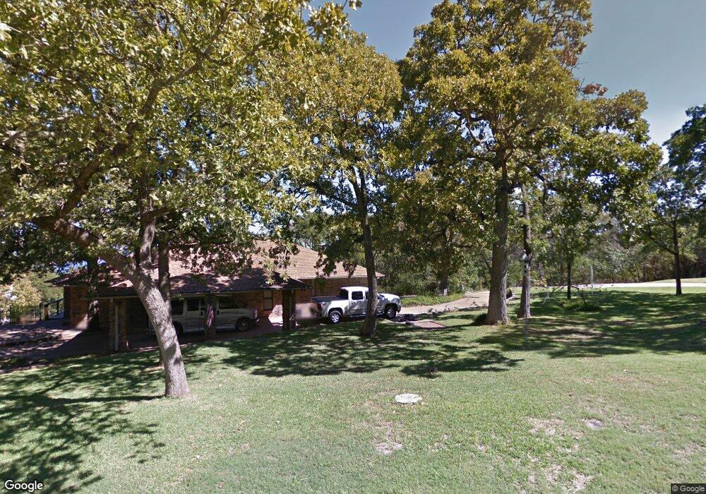
104 Red Bud Ln Pottsboro, TX 75076
Estimated Value: $622,783 - $642,000
3
Beds
2
Baths
2,438
Sq Ft
$261/Sq Ft
Est. Value
About This Home
This home is located at 104 Red Bud Ln, Pottsboro, TX 75076 and is currently estimated at $636,196, approximately $260 per square foot. 104 Red Bud Ln is a home located in Grayson County with nearby schools including Pottsboro Elementary School, Pottsboro Middle School, and Pottsboro High School.
Ownership History
Date
Name
Owned For
Owner Type
Purchase Details
Closed on
Mar 5, 2010
Sold by
Fannie Mae
Bought by
Brown Belinda S and Watt Sheila J
Current Estimated Value
Home Financials for this Owner
Home Financials are based on the most recent Mortgage that was taken out on this home.
Original Mortgage
$173,700
Outstanding Balance
$115,125
Interest Rate
4.98%
Mortgage Type
New Conventional
Estimated Equity
$521,071
Purchase Details
Closed on
Oct 6, 2009
Sold by
Lyle Pamela Kay
Bought by
Federal National Mortgage Association
Purchase Details
Closed on
Feb 24, 2006
Sold by
Stout David D and Stout Charlote E
Bought by
Lyle Pamela Kay
Home Financials for this Owner
Home Financials are based on the most recent Mortgage that was taken out on this home.
Original Mortgage
$27,700
Interest Rate
6.09%
Mortgage Type
Stand Alone Second
Create a Home Valuation Report for This Property
The Home Valuation Report is an in-depth analysis detailing your home's value as well as a comparison with similar homes in the area
Home Values in the Area
Average Home Value in this Area
Purchase History
| Date | Buyer | Sale Price | Title Company |
|---|---|---|---|
| Brown Belinda S | -- | Security Title | |
| Federal National Mortgage Association | $237,705 | None Available | |
| Lyle Pamela Kay | -- | None Available |
Source: Public Records
Mortgage History
| Date | Status | Borrower | Loan Amount |
|---|---|---|---|
| Open | Brown Belinda S | $173,700 | |
| Previous Owner | Lyle Pamela Kay | $27,700 | |
| Previous Owner | Lyle Pamela Kay | $221,600 |
Source: Public Records
Tax History Compared to Growth
Tax History
| Year | Tax Paid | Tax Assessment Tax Assessment Total Assessment is a certain percentage of the fair market value that is determined by local assessors to be the total taxable value of land and additions on the property. | Land | Improvement |
|---|---|---|---|---|
| 2025 | $7,855 | $563,510 | $116,895 | $446,615 |
| 2024 | $7,855 | $566,979 | $116,800 | $450,179 |
| 2023 | $3,022 | $409,339 | $0 | $0 |
| 2022 | $5,857 | $372,126 | $0 | $0 |
| 2021 | $5,502 | $338,296 | $80,985 | $257,311 |
| 2020 | $5,717 | $338,640 | $84,600 | $254,040 |
| 2019 | $6,151 | $347,699 | $84,600 | $263,099 |
| 2018 | $5,391 | $300,913 | $84,600 | $216,313 |
| 2017 | $5,843 | $321,905 | $95,445 | $226,460 |
| 2016 | $5,745 | $316,514 | $84,687 | $231,827 |
| 2015 | $0 | $281,144 | $84,687 | $196,457 |
| 2014 | -- | $259,173 | $84,687 | $174,486 |
Source: Public Records
Map
Nearby Homes
- 105 Eagleview Cir
- 110 Eagleview Cir
- 120 Eagleview Cir
- 210 Walnut Ln
- 219 Ray Rd
- 33 Queens Dr
- 11 Mayfield Ln
- 344 Castle Dr
- 491 Black Forest Dr
- 545 Black Forest Dr
- 226 Cambridge Dr
- 16 Wales Dr
- 137 Anderson Ln
- 142 Wales Dr
- 191 Black Forest Dr
- 34 Cambridge Dr
- 81 Windsor Dr
- 207 Wales Dr
- 258 Lou-Sand Hill Rd
- 116 Oak Hills Dr
- 101 Hilltop Ln
- 104 Eagleview Cir
- 105 Russwood Dr
- 105 Hilltop Ln
- 106 Hilltop Ln
- 127 Eagleview Cir
- 107 Russwood Dr
- 126 Eagleview Cir
- 108 Hilltop Ln
- 125 Eagleview Cir
- 730 Russwood Dr
- 129 Eagleview Cir
- 124 Eagleview Cir
- 110 Hilltop Ln
- 747 Russwood Dr
- 111 Hilltop Ln
- 132 Eagleview Cir
- 128 Eagleview Cir
- 131 Eagleview Cir
- 134 Eagleview Cir