Estimated Value: $141,000 - $211,000
3
Beds
1
Bath
1,616
Sq Ft
$106/Sq Ft
Est. Value
About This Home
This home is located at 104 Riverside Dr, Wayne, WV 25570 and is currently estimated at $170,716, approximately $105 per square foot. 104 Riverside Dr is a home with nearby schools including Wayne Elementary School, Wayne Middle School, and Wayne High School.
Ownership History
Date
Name
Owned For
Owner Type
Purchase Details
Closed on
Feb 27, 2025
Sold by
Perry Michael J
Bought by
Perry Cassandra
Current Estimated Value
Purchase Details
Closed on
Apr 10, 2013
Sold by
Perry Joe C and Perry Bessie A
Bought by
Perry Michael Joe
Purchase Details
Closed on
Dec 4, 2009
Sold by
Perry Michael J and Perry Cassandra L
Bought by
Perry Joe C and Perry Bessie A
Create a Home Valuation Report for This Property
The Home Valuation Report is an in-depth analysis detailing your home's value as well as a comparison with similar homes in the area
Purchase History
| Date | Buyer | Sale Price | Title Company |
|---|---|---|---|
| Perry Cassandra | -- | None Listed On Document | |
| Perry Cassandra | -- | None Listed On Document | |
| Perry Michael Joe | -- | None Available | |
| Perry Joe C | $78,594 | None Available |
Source: Public Records
Tax History
| Year | Tax Paid | Tax Assessment Tax Assessment Total Assessment is a certain percentage of the fair market value that is determined by local assessors to be the total taxable value of land and additions on the property. | Land | Improvement |
|---|---|---|---|---|
| 2025 | $712 | $54,010 | $7,870 | $46,140 |
| 2024 | $654 | $53,410 | $7,870 | $45,540 |
| 2023 | $645 | $52,500 | $7,860 | $44,640 |
| 2022 | $705 | $57,010 | $7,870 | $49,140 |
| 2021 | $695 | $56,290 | $7,870 | $48,420 |
| 2020 | $685 | $55,330 | $7,870 | $47,460 |
| 2019 | $635 | $51,130 | $7,870 | $43,260 |
| 2018 | $625 | $50,230 | $7,870 | $42,360 |
| 2017 | $613 | $49,270 | $7,870 | $41,400 |
| 2016 | $562 | $45,360 | $7,860 | $37,500 |
| 2015 | $529 | $42,720 | $6,720 | $36,000 |
| 2014 | $520 | $41,520 | $6,720 | $34,800 |
Source: Public Records
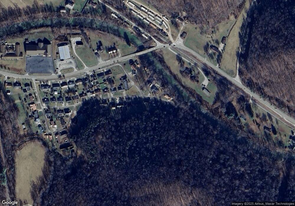
Map
Nearby Homes
- 60 Garrett Dr
- 635 Shoals Branch Rd
- 270 Pine Dr
- 302 Pine Dr
- 102 Ridge Rd
- 425 Right Fork Wilson Creek
- 1523 Wilson Creek Rd
- 00 W Virginia 152
- Rt 2 Box 2207 A Unit AKA 4915 Millers
- 140 Roanoke Cir
- 290 Ridgeview Dr
- Lot 5 Moore Rd
- Lot 6 Moore Rd
- Lot 2 Moore Rd
- Lot 1 Moore Rd
- 11 Paddy Hollow Rd
- 5320 Dunkle Branch Rd
- 1497 Newcomb Creek Rd
- 6 Kings Court Estates
- 6419 Camp Creek Rd
- 120 Riverside Dr
- 99 Riverside Dr
- 1237 Riverside Dr
- 137 Riverside Dr
- 1537 Big Branch Rd
- 1236 Riverside Dr
- 150 Riverside Dr
- 141 Riverside Dr
- 162 Riverside Dr
- 158 Main St
- 48 Riverside Dr
- 165 Main St
- 1232 Main St
- 147 Main St
- 112 Riverside Drive Dunrovin Dr
- 133 Main St
- 139 Main Dunrovin St
- 1258 Asbury Dunrovin St
- 7332 Route 152
- 117 Main St
Your Personal Tour Guide
Ask me questions while you tour the home.