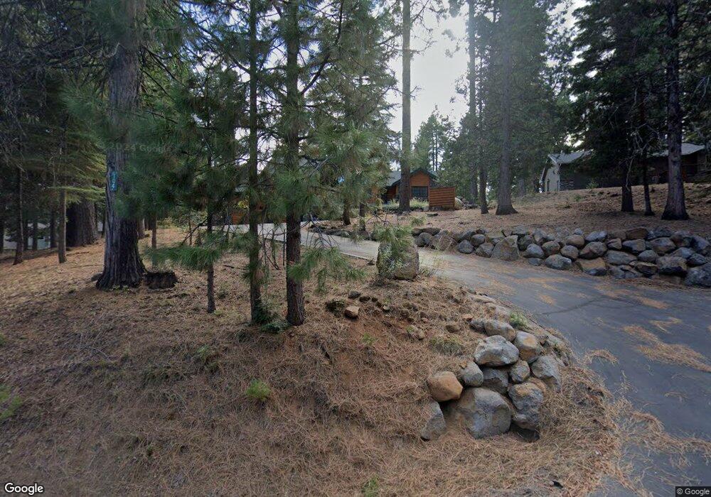
104 Top of the West Dr Chester, CA 96020
Estimated Value: $767,000 - $860,000
3
Beds
2
Baths
1,912
Sq Ft
$418/Sq Ft
Est. Value
About This Home
This home is located at 104 Top of the West Dr, Chester, CA 96020 and is currently estimated at $798,614, approximately $417 per square foot. 104 Top of the West Dr is a home located in Plumas County.
Ownership History
Date
Name
Owned For
Owner Type
Purchase Details
Closed on
Sep 3, 2025
Sold by
Bill And Jolie Webb Family Trust and Webb William S
Bought by
Donald And Pamela Uischner Family Trust and Uischner
Current Estimated Value
Purchase Details
Closed on
Apr 30, 2021
Sold by
Holden Deborah A and Holden Family Revocable Living
Bought by
Webb William S and Webb Jolie L
Purchase Details
Closed on
Feb 1, 2005
Sold by
Holden Lew A and Holden Deborah A
Bought by
Holden Lew A and Holden Deborah A
Purchase Details
Closed on
Sep 29, 2004
Sold by
Powell Floyd V and Powell Kaye A
Bought by
Holden Lew A and Holden Deborah A
Home Financials for this Owner
Home Financials are based on the most recent Mortgage that was taken out on this home.
Original Mortgage
$300,000
Interest Rate
5.77%
Mortgage Type
Purchase Money Mortgage
Create a Home Valuation Report for This Property
The Home Valuation Report is an in-depth analysis detailing your home's value as well as a comparison with similar homes in the area
Home Values in the Area
Average Home Value in this Area
Purchase History
| Date | Buyer | Sale Price | Title Company |
|---|---|---|---|
| Donald And Pamela Uischner Family Trust | $780,000 | Cal Sierra Title | |
| Webb William S | $705,000 | Cal Sierra Title Company | |
| Holden Lew A | -- | -- | |
| Holden Lew A | $685,500 | Fidelity Natl Title Co Of Ca |
Source: Public Records
Mortgage History
| Date | Status | Borrower | Loan Amount |
|---|---|---|---|
| Previous Owner | Holden Lew A | $300,000 | |
| Closed | Holden Lew A | $248,400 |
Source: Public Records
Tax History Compared to Growth
Tax History
| Year | Tax Paid | Tax Assessment Tax Assessment Total Assessment is a certain percentage of the fair market value that is determined by local assessors to be the total taxable value of land and additions on the property. | Land | Improvement |
|---|---|---|---|---|
| 2025 | $8,593 | $741,465 | $54,121 | $687,344 |
| 2023 | $8,593 | $712,674 | $52,020 | $660,654 |
| 2022 | $7,779 | $698,700 | $51,000 | $647,700 |
| 2021 | $8,745 | $802,848 | $151,625 | $651,223 |
| 2020 | $5,909 | $521,402 | $151,625 | $369,777 |
| 2019 | $5,825 | $514,151 | $151,625 | $362,526 |
| 2018 | $5,609 | $507,043 | $151,625 | $355,418 |
| 2017 | $5,579 | $497,101 | $148,652 | $348,449 |
| 2016 | $5,095 | $482,623 | $144,323 | $338,300 |
| 2015 | $5,102 | $482,623 | $144,323 | $338,300 |
| 2014 | $5,109 | $482,623 | $144,323 | $338,300 |
Source: Public Records
Map
Nearby Homes
- 105 Top of the West Dr
- 268 Osprey Loop
- 118 Top of the Dr W
- 120 Top of the Dr W
- 406 Morningside Ct
- 275 Osprey Loop
- 304 Osprey Loop
- 311 Osprey Loop
- 343 Osprey Loop
- 212 Top of the Dr W
- 203 Top of the Dr W
- 309 Osprey Loop
- 315 Top of the Dr W
- 182 Slim Dr
- 168 Slim Dr
- 512 Eagle Crest Dr
- 331 Top of the Dr W
- 935 Long Iron Dr
- 180 Slim Dr
- 308 Manzanita Dr
- 104 Top of the West Dr
- 106 Top of the West Dr
- 291 Osprey Loop
- 289 Osprey Loop
- 108 Top of the West Dr
- 108 Top of the Dr W
- 287 Osprey Loop
- 111 Top of the Dr W
- 110 Top of the Dr W
- 109 Top of the West Dr
- 101 Top of the West Dr
- 285 Osprey Loop
- 115 Top of the West Dr
- 284 Osprey Loop
- 112 Top of the West Dr
- 278 Osprey Loop
- 112 Top of the Dr W
- 107 Top of the West Dr
- 297 Osprey Loop
- 117 Top of the Dr W