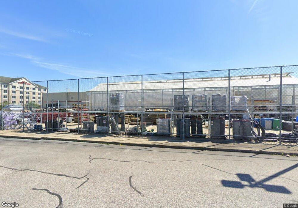
1040 Beards Hill Rd Aberdeen, MD 21001
Estimated Value: $8,931,011
--
Bed
--
Bath
24,648
Sq Ft
$362/Sq Ft
Est. Value
About This Home
This home is located at 1040 Beards Hill Rd, Aberdeen, MD 21001 and is currently estimated at $8,931,011, approximately $362 per square foot. 1040 Beards Hill Rd is a home located in Harford County with nearby schools including Bakerfield Elementary School, Aberdeen Middle School, and Aberdeen High School.
Ownership History
Date
Name
Owned For
Owner Type
Purchase Details
Closed on
Oct 23, 2024
Sold by
Tractor Supply Company
Bought by
Exchangeright Net-Leased Portfolio 69 Dst
Current Estimated Value
Home Financials for this Owner
Home Financials are based on the most recent Mortgage that was taken out on this home.
Original Mortgage
$5,200,000
Interest Rate
6.78%
Mortgage Type
New Conventional
Purchase Details
Closed on
Dec 21, 2006
Sold by
Stancills Inc
Bought by
Tractor Supply Company
Purchase Details
Closed on
Nov 17, 2006
Sold by
Stancills Inc
Bought by
Tractor Supply Company
Create a Home Valuation Report for This Property
The Home Valuation Report is an in-depth analysis detailing your home's value as well as a comparison with similar homes in the area
Home Values in the Area
Average Home Value in this Area
Purchase History
| Date | Buyer | Sale Price | Title Company |
|---|---|---|---|
| Exchangeright Net-Leased Portfolio 69 Dst | $8,625,705 | First American Title | |
| Exchangeright Net-Leased Portfolio 69 Dst | $8,625,705 | First American Title | |
| Tractor Supply Company | $2,200,000 | -- | |
| Tractor Supply Company | $2,200,000 | -- |
Source: Public Records
Mortgage History
| Date | Status | Borrower | Loan Amount |
|---|---|---|---|
| Previous Owner | Exchangeright Net-Leased Portfolio 69 Dst | $5,200,000 |
Source: Public Records
Tax History Compared to Growth
Tax History
| Year | Tax Paid | Tax Assessment Tax Assessment Total Assessment is a certain percentage of the fair market value that is determined by local assessors to be the total taxable value of land and additions on the property. | Land | Improvement |
|---|---|---|---|---|
| 2025 | $38,798 | $4,152,967 | $0 | $0 |
| 2024 | $38,798 | $4,069,833 | $0 | $0 |
| 2023 | $38,005 | $3,986,700 | $2,000,200 | $1,986,500 |
| 2022 | $25 | $3,986,700 | $2,000,200 | $1,986,500 |
| 2021 | $43,422 | $4,317,933 | $0 | $0 |
| 2020 | $43,422 | $4,317,600 | $2,000,200 | $2,317,400 |
| 2019 | $43,414 | $4,316,833 | $0 | $0 |
| 2018 | $43,021 | $4,316,067 | $0 | $0 |
| 2017 | $43,013 | $4,315,300 | $0 | $0 |
| 2016 | -- | $4,281,567 | $0 | $0 |
| 2015 | $41,483 | $4,247,833 | $0 | $0 |
| 2014 | $41,483 | $4,214,100 | $0 | $0 |
Source: Public Records
Map
Nearby Homes
- 11 Bush Chapel Rd
- 21 Gunnison Dr
- 631 W Bel Air Ave
- 321 Woodland Green Ct
- 642 Westwood Dr
- 301 Northeast Rd
- 638 Westwood Dr
- 650 Brenda Ln
- 754 Custis St
- 770 Custis St
- 647 Elm St
- 458 Roberts Way
- 444 Chestnut St
- 35 Hillman Ct
- 722 Bur Oak Ct Unit 77
- 77 Baker St
- 73 Baker St
- 606 Southgate Rd
- 0 Harford St Unit MDHR2039982
- 418 Hiobs Ln
- 738 W Bel Air Ave
- 735 W Bel Air Ave
- 731 W Bel Air Ave
- 1050 Beards Hill Rd
- 1008 Beards Hill Rd
- 1009 Beards Hill Rd
- 1013 Beards Hill Rd
- 1006 Beards Hill Rd
- 800 W Bel Air Ave
- 764 W Bel Air Ave
- 106 Grant St
- 102 Grant St
- 110 Grant St
- 114 Grant St
- 22 Grant St
- 758 W Bel Air Ave
- 729 W Bel Air Ave
- 118 Grant St
- 18 Grant St
- 1005 Beards Hill Rd