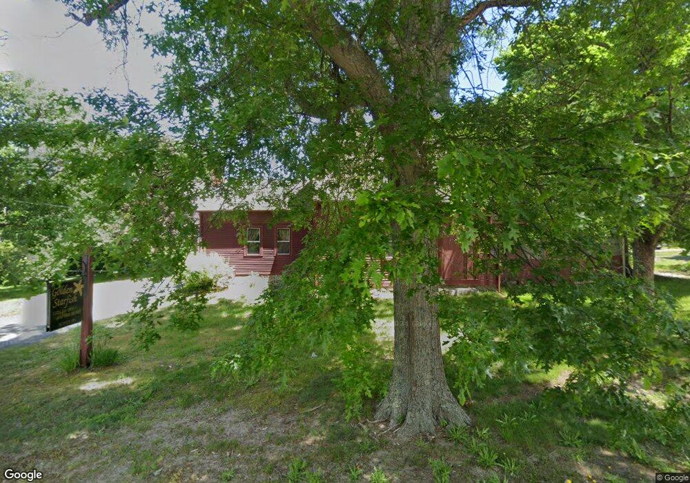
1040 Main St West Barnstable, MA 2668
West Barnstable NeighborhoodEstimated Value: $1,516,551
4
Beds
2
Baths
1,818
Sq Ft
$834/Sq Ft
Est. Value
About This Home
This home is located at 1040 Main St, West Barnstable, MA 2668 and is currently estimated at $1,516,551, approximately $834 per square foot. 1040 Main St is a home located in Barnstable County with nearby schools including West Barnstable Elementary School, Barnstable United Elementary School, and Barnstable Intermediate School.
Ownership History
Date
Name
Owned For
Owner Type
Purchase Details
Closed on
Oct 16, 1998
Sold by
Donati David E and Donati Abigail J
Bought by
Coblish John G
Current Estimated Value
Home Financials for this Owner
Home Financials are based on the most recent Mortgage that was taken out on this home.
Original Mortgage
$227,000
Outstanding Balance
$49,271
Interest Rate
6.8%
Mortgage Type
Commercial
Estimated Equity
$1,467,280
Purchase Details
Closed on
Nov 19, 1993
Sold by
Kittredge James G and Kittredge Anne M
Bought by
Donati David E
Home Financials for this Owner
Home Financials are based on the most recent Mortgage that was taken out on this home.
Original Mortgage
$50,000
Interest Rate
6.77%
Mortgage Type
Commercial
Create a Home Valuation Report for This Property
The Home Valuation Report is an in-depth analysis detailing your home's value as well as a comparison with similar homes in the area
Home Values in the Area
Average Home Value in this Area
Purchase History
| Date | Buyer | Sale Price | Title Company |
|---|---|---|---|
| Coblish John G | $297,500 | -- | |
| Donati David E | $250,000 | -- |
Source: Public Records
Mortgage History
| Date | Status | Borrower | Loan Amount |
|---|---|---|---|
| Open | Donati David E | $227,000 | |
| Previous Owner | Donati David E | $50,000 |
Source: Public Records
Tax History
| Year | Tax Paid | Tax Assessment Tax Assessment Total Assessment is a certain percentage of the fair market value that is determined by local assessors to be the total taxable value of land and additions on the property. | Land | Improvement |
|---|---|---|---|---|
| 2025 | -- | $533,500 | $316,000 | $217,500 |
| 2024 | -- | $531,500 | $316,000 | $215,500 |
| 2023 | $0 | $528,300 | $312,800 | $215,500 |
| 2022 | $0 | $421,700 | $206,200 | $215,500 |
| 2021 | $0 | $433,600 | $218,100 | $215,500 |
| 2020 | $0 | $449,000 | $222,900 | $226,100 |
| 2019 | $0 | $439,800 | $235,200 | $204,600 |
| 2018 | $0 | $395,100 | $234,100 | $161,000 |
| 2017 | -- | $400,800 | $240,700 | $160,100 |
| 2016 | -- | $400,800 | $240,700 | $160,100 |
| 2015 | -- | $392,700 | $200,500 | $192,200 |
Source: Public Records
Map
Nearby Homes
- 1064 Main St
- 1022 Main St
- 1022 Route 6a
- 1022 Massachusetts 6a
- 1022 Main St Route 6a
- 1022 Main St
- 1025 Main St Unit 2
- 1025 Main St Unit B
- 1025 Main St Unit 2D
- 1025 Main St
- 1025 Main St
- 1071 Main St
- 1084 Main St
- 29 Packet Landing Way
- 26 White Cap Ln
- 41 Packet Landing Way
- 727 Main St Unit B2
- 1050 Main St
- 726 Main St
Your Personal Tour Guide
Ask me questions while you tour the home.