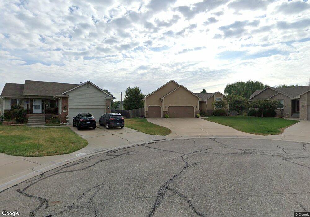
10401 W Lamp Cir Wichita, KS 67215
Oatville NeighborhoodEstimated Value: $292,000 - $294,128
3
Beds
2
Baths
1,348
Sq Ft
$217/Sq Ft
Est. Value
About This Home
This home is located at 10401 W Lamp Cir, Wichita, KS 67215 and is currently estimated at $293,064, approximately $217 per square foot. 10401 W Lamp Cir is a home located in Sedgwick County with nearby schools including Amelia Earhart Elementary School, Challenger Intermediate School, and Goddard Middle School.
Ownership History
Date
Name
Owned For
Owner Type
Purchase Details
Closed on
Sep 24, 2007
Sold by
Moeder Construction Llc
Bought by
Florio Matthew E and Florio Jamie L
Current Estimated Value
Home Financials for this Owner
Home Financials are based on the most recent Mortgage that was taken out on this home.
Original Mortgage
$122,625
Outstanding Balance
$77,279
Interest Rate
6.48%
Mortgage Type
New Conventional
Estimated Equity
$215,785
Create a Home Valuation Report for This Property
The Home Valuation Report is an in-depth analysis detailing your home's value as well as a comparison with similar homes in the area
Home Values in the Area
Average Home Value in this Area
Purchase History
| Date | Buyer | Sale Price | Title Company |
|---|---|---|---|
| Florio Matthew E | -- | None Available |
Source: Public Records
Mortgage History
| Date | Status | Borrower | Loan Amount |
|---|---|---|---|
| Open | Florio Matthew E | $122,625 |
Source: Public Records
Tax History Compared to Growth
Tax History
| Year | Tax Paid | Tax Assessment Tax Assessment Total Assessment is a certain percentage of the fair market value that is determined by local assessors to be the total taxable value of land and additions on the property. | Land | Improvement |
|---|---|---|---|---|
| 2025 | $3,008 | $29,349 | $7,073 | $22,276 |
| 2023 | $3,008 | $26,922 | $4,922 | $22,000 |
| 2022 | $2,634 | $22,851 | $4,646 | $18,205 |
| 2021 | $2,471 | $21,160 | $3,266 | $17,894 |
| 2020 | $2,340 | $19,780 | $3,266 | $16,514 |
| 2019 | $3,050 | $18,481 | $3,266 | $15,215 |
| 2018 | $3,214 | $17,596 | $2,335 | $15,261 |
| 2017 | $3,134 | $0 | $0 | $0 |
| 2016 | $3,063 | $0 | $0 | $0 |
| 2015 | $3,082 | $0 | $0 | $0 |
| 2014 | $3,108 | $0 | $0 | $0 |
Source: Public Records
Map
Nearby Homes
- 10513 W Lamp Cir
- 2715 S Crestline Ct
- 10615 W Yosemite St
- 2917 S Maize Ct
- 2812 S Maize Ct
- 2639 S Yellowstone Ct
- 2734 S Carrwood Cir
- 10421 W Basil St
- 2726 S Carrwood Cir
- Allison's Plan at Southern Ridge
- Bellemare Plan at Southern Ridge
- 1702 Flex Plan at Southern Ridge
- 1720 Flex Plan at Southern Ridge
- 1499 Plan at Southern Ridge
- 10516 W Graber Cir
- 2808 S Maize Ct
- 2717 S Westgate St
- 2804 S Maize Ct
- 2800 S Maize Ct
- 2921 S Maize Ct
- 10402 W Lamp Cir
- 10405 W Lamp Cir
- 10409 W Lamp Cir
- 10406 W Lamp Cir
- 10407 W Graber Cir
- 10406 W Graber Cir
- 10413 W Lamp Cir
- 10410 W Lamp Cir
- 10406 W Dallas Cir
- 2731 S Crestline Ct
- 10414 W Lamp Cir
- 10417 W Lamp Cir
- 10407 W Yosemite St
- 10410 W Dallas Cir
- 10403 W Yosemite St
- 2727 S Crestline Ct
- 10403 W Yosemite Dr
- 10411 W Yosemite St
- 10402 W Dallas Cir
- 2755 S Crestline Cir