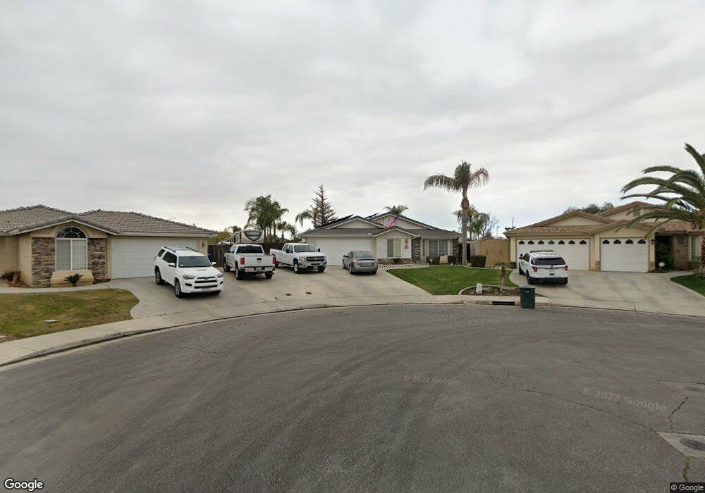
10409 Iroquois Ln Bakersfield, CA 93312
Crystal Ranch NeighborhoodEstimated Value: $419,978 - $476,000
4
Beds
2
Baths
1,906
Sq Ft
$238/Sq Ft
Est. Value
About This Home
This home is located at 10409 Iroquois Ln, Bakersfield, CA 93312 and is currently estimated at $452,745, approximately $237 per square foot. 10409 Iroquois Ln is a home located in Kern County with nearby schools including Almondale Elementary School, Freedom Middle School, and Centennial High School.
Ownership History
Date
Name
Owned For
Owner Type
Purchase Details
Closed on
Nov 30, 1998
Sold by
Kyle Carter Homes Inc
Bought by
Mcqueen Donald Edward and Mcqueen Joy Renee
Current Estimated Value
Home Financials for this Owner
Home Financials are based on the most recent Mortgage that was taken out on this home.
Original Mortgage
$135,630
Outstanding Balance
$31,154
Interest Rate
6.91%
Estimated Equity
$421,591
Create a Home Valuation Report for This Property
The Home Valuation Report is an in-depth analysis detailing your home's value as well as a comparison with similar homes in the area
Home Values in the Area
Average Home Value in this Area
Purchase History
| Date | Buyer | Sale Price | Title Company |
|---|---|---|---|
| Mcqueen Donald Edward | $143,000 | American Title Co |
Source: Public Records
Mortgage History
| Date | Status | Borrower | Loan Amount |
|---|---|---|---|
| Open | Mcqueen Donald Edward | $135,630 |
Source: Public Records
Tax History Compared to Growth
Tax History
| Year | Tax Paid | Tax Assessment Tax Assessment Total Assessment is a certain percentage of the fair market value that is determined by local assessors to be the total taxable value of land and additions on the property. | Land | Improvement |
|---|---|---|---|---|
| 2025 | $3,870 | $222,590 | $47,019 | $175,571 |
| 2024 | $3,791 | $218,227 | $46,098 | $172,129 |
| 2023 | $3,791 | $213,949 | $45,195 | $168,754 |
| 2022 | $3,713 | $209,755 | $44,309 | $165,446 |
| 2021 | $3,576 | $205,643 | $43,441 | $162,202 |
| 2020 | $3,544 | $203,535 | $42,996 | $160,539 |
| 2019 | $3,418 | $203,535 | $42,996 | $160,539 |
| 2018 | $3,365 | $195,633 | $41,327 | $154,306 |
| 2017 | $3,324 | $191,798 | $40,517 | $151,281 |
| 2016 | $3,136 | $188,038 | $39,723 | $148,315 |
| 2015 | $3,086 | $185,215 | $39,127 | $146,088 |
| 2014 | $3,019 | $181,588 | $38,361 | $143,227 |
Source: Public Records
Map
Nearby Homes
- 10707 Mohican Dr
- 10201 Iroquois Ln
- 10815 Dapple Way
- 5102 Swaps Ct
- 10302 Willow Bend Ct
- 5605 Meadow Valley Ct Unit 3
- 4708 Polo Club Dr
- 5504 Danbury Ct
- 11001 Mohican Dr
- 4812 Prairie Meadows Way
- 11016 Bellfounder Dr
- 11106 Mohican Dr
- 4508 Polo Club Dr
- 11103 Quadrille Ct
- 11004 Lakewood Ct
- 5903 Pendleton Falls Dr
- 10113 Thistledown Ln
- 10908 Royal Ascot Ave
- 10916 Royal Ascot Ave
- 5011 Pelican Hill Dr
- 10405 Iroquois Ln
- 10412 Iroquois Ln
- 10401 Iroquois Ln
- 10408 Iroquois Ln Unit 4
- 5110 Shaman Ct
- 5106 Shaman Ct
- 5102 Shaman Ct
- 10419 Arapaho Ave
- 10415 Arapaho Ave
- 10327 Iroquois Ln Unit 4
- 10411 Arapaho Ave
- 10326 Iroquois Ln
- 5012 Shaman Ct
- 10334 Cheyenne Dr
- 10323 Iroquois Ln Unit 4
- 5008 Shaman Ct
- 10322 Iroquois Ln
- 10403 Arapaho Ave
- 0 Arapaho Ave
- 10330 Cheyenne Dr Unit 3