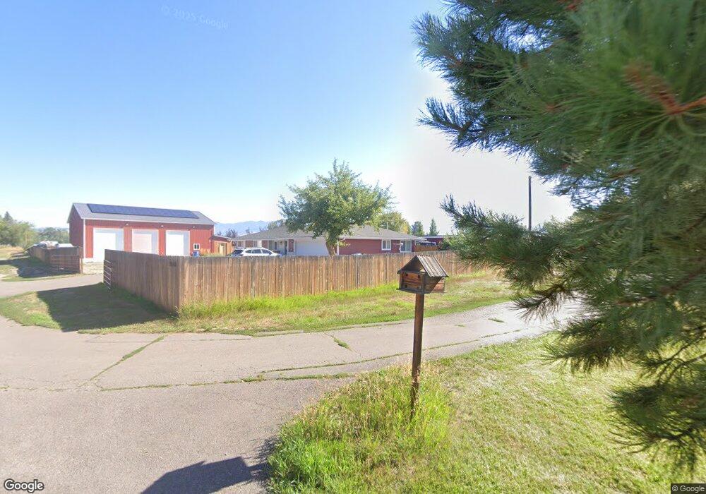
1041 Como Dr Missoula, MT 59804
Estimated Value: $607,000 - $752,000
3
Beds
2
Baths
2,128
Sq Ft
$336/Sq Ft
Est. Value
About This Home
This home is located at 1041 Como Dr, Missoula, MT 59804 and is currently estimated at $714,415, approximately $335 per square foot. 1041 Como Dr is a home located in Missoula County with nearby schools including Hawthorne Elementary School, Porter Middle School, and Big Sky High School.
Ownership History
Date
Name
Owned For
Owner Type
Purchase Details
Closed on
Nov 10, 2021
Sold by
Petroff John and Petroff Sarah
Bought by
Turner Douglas J and Mccorkle Jamie
Current Estimated Value
Purchase Details
Closed on
Oct 1, 2018
Sold by
Patterson Jimmie A and Patterson Janel
Bought by
Petroff John and Petroff Sarah
Home Financials for this Owner
Home Financials are based on the most recent Mortgage that was taken out on this home.
Original Mortgage
$342,900
Interest Rate
4.5%
Mortgage Type
New Conventional
Purchase Details
Closed on
Jul 2, 2018
Sold by
Reep Anthony and Reep Janel Reep
Bought by
Blevins Stephany N and Blevins Wyatt
Home Financials for this Owner
Home Financials are based on the most recent Mortgage that was taken out on this home.
Original Mortgage
$100,000
Interest Rate
4.55%
Create a Home Valuation Report for This Property
The Home Valuation Report is an in-depth analysis detailing your home's value as well as a comparison with similar homes in the area
Purchase History
| Date | Buyer | Sale Price | Title Company |
|---|---|---|---|
| Turner Douglas J | -- | Title Services Inc | |
| Petroff John | -- | Insured Titles Llc | |
| Blevins Stephany N | $117,600 | -- |
Source: Public Records
Mortgage History
| Date | Status | Borrower | Loan Amount |
|---|---|---|---|
| Previous Owner | Petroff John | $342,900 | |
| Previous Owner | Blevins Stephany N | $100,000 | |
| Previous Owner | Blevins Stephany N | -- |
Source: Public Records
Tax History
| Year | Tax Paid | Tax Assessment Tax Assessment Total Assessment is a certain percentage of the fair market value that is determined by local assessors to be the total taxable value of land and additions on the property. | Land | Improvement |
|---|---|---|---|---|
| 2025 | $6,860 | $762,574 | $295,264 | $467,310 |
| 2024 | $7,422 | $654,200 | $254,170 | $400,030 |
| 2023 | $6,620 | $654,200 | $254,170 | $400,030 |
| 2022 | $5,179 | $440,500 | $0 | $0 |
| 2021 | $5,297 | $458,100 | $0 | $0 |
| 2020 | $4,717 | $395,100 | $0 | $0 |
| 2019 | $4,540 | $381,000 | $0 | $0 |
| 2018 | $3,561 | $298,948 | $0 | $0 |
| 2017 | $3,521 | $298,948 | $0 | $0 |
| 2016 | $3,203 | $285,100 | $0 | $0 |
| 2015 | $2,975 | $285,100 | $0 | $0 |
| 2014 | $2,565 | $136,263 | $0 | $0 |
Source: Public Records
Map
Nearby Homes
- 3720 S 3rd St W
- 3820 S 3rd St W
- 3330 S 3rd St W
- 1679 Pokey Ln
- 306 Tower St
- 4248 Mount Ave
- 3720 Sierra Dr
- 3416 W Central Ave
- 3731 W Sussex Ave
- 4022 South Ave W Unit 65
- 4022 South Ave W Unit 52
- 4022 South Ave W Unit 37
- 4022 South Ave W Unit 6
- 4022 South Ave W Unit 1
- 4022 South Ave W Unit 9
- 4022 South Ave W Unit 51
- 4022 South Ave W Unit 70
- 4022 South Ave W Unit 30
- 4022 South Ave W Unit 19
- 4022 South Ave W Unit 58
Your Personal Tour Guide
Ask me questions while you tour the home.