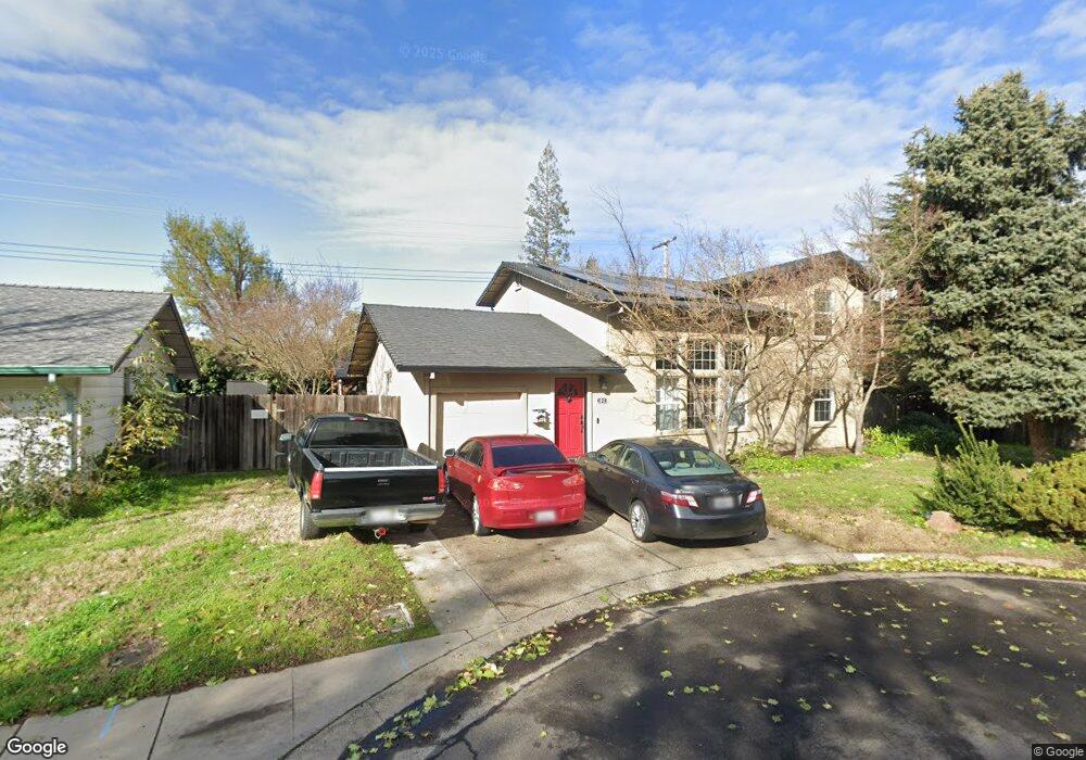
1041 Lincoln Ave Lodi, CA 95240
North Lodi NeighborhoodEstimated Value: $293,000 - $558,000
4
Beds
3
Baths
1,594
Sq Ft
$296/Sq Ft
Est. Value
About This Home
This home is located at 1041 Lincoln Ave, Lodi, CA 95240 and is currently estimated at $472,356, approximately $296 per square foot. 1041 Lincoln Ave is a home located in San Joaquin County with nearby schools including Lakewood Elementary School, Millswood Middle School, and Lodi High School.
Ownership History
Date
Name
Owned For
Owner Type
Purchase Details
Closed on
Feb 1, 2013
Sold by
Vargas Samuel
Bought by
Vargas Samuel
Current Estimated Value
Home Financials for this Owner
Home Financials are based on the most recent Mortgage that was taken out on this home.
Original Mortgage
$232,844
Interest Rate
3.32%
Mortgage Type
New Conventional
Purchase Details
Closed on
Dec 5, 2009
Sold by
Vargas Elizabeth Marie
Bought by
Vargas Samuel
Create a Home Valuation Report for This Property
The Home Valuation Report is an in-depth analysis detailing your home's value as well as a comparison with similar homes in the area
Home Values in the Area
Average Home Value in this Area
Purchase History
| Date | Buyer | Sale Price | Title Company |
|---|---|---|---|
| Vargas Samuel | -- | Placer Title Company | |
| Vargas Samuel | -- | None Available |
Source: Public Records
Mortgage History
| Date | Status | Borrower | Loan Amount |
|---|---|---|---|
| Closed | Vargas Samuel | $232,844 |
Source: Public Records
Tax History Compared to Growth
Tax History
| Year | Tax Paid | Tax Assessment Tax Assessment Total Assessment is a certain percentage of the fair market value that is determined by local assessors to be the total taxable value of land and additions on the property. | Land | Improvement |
|---|---|---|---|---|
| 2025 | $2,294 | $217,418 | $76,466 | $140,952 |
| 2024 | $2,231 | $213,156 | $74,967 | $138,189 |
| 2023 | $2,197 | $208,978 | $73,498 | $135,480 |
| 2022 | $2,148 | $204,881 | $72,057 | $132,824 |
| 2021 | $2,185 | $200,865 | $70,645 | $130,220 |
| 2020 | $2,128 | $198,806 | $69,921 | $128,885 |
| 2019 | $2,084 | $194,908 | $68,550 | $126,358 |
| 2018 | $2,053 | $191,087 | $67,206 | $123,881 |
| 2017 | $2,006 | $187,341 | $65,889 | $121,452 |
| 2016 | $1,879 | $183,669 | $64,598 | $119,071 |
| 2014 | $1,713 | $166,100 | $49,500 | $116,600 |
Source: Public Records
Map
Nearby Homes
- 537 Palm Ave
- 1132 Rivergate Dr Unit 13
- 532 Louie Ave
- 309 Forrest Ave
- 1114 Lakewood Dr
- 26 River Pointe Way
- 625 N Church St Unit 8
- 744 W Turner Rd
- 1071 Awani Dr Unit 1071
- 518 N Church St
- 419 Matthew Plaza
- 433 N Church St
- 407 N Pleasant Ave
- 648 Daisy Ave
- 1744 Wyn Way
- 1786 Le Bec Ct
- 834 N Ham Ln
- 725 Costa Dr
- 101 de Force Ave
- 303 W Lockeford St
- 1037 Lincoln Ave
- 1130 Edgewood Dr
- 1124 Edgewood Dr
- 1029 Lincoln Ave
- 1042 Lincoln Ave
- 1116 Edgewood Dr
- 1036 Lincoln Ave
- 1051 Lincoln Ave
- 1144 Edgewood Dr
- 1028 Lincoln Ave
- 1050 Lincoln Ave
- 1023 Lincoln Ave
- 1108 Edgewood Dr
- 1030 Lincoln Ave
- 1127 Edgewood Dr
- 1137 Edgewood Dr
- 315 W Turner Rd
- 1022 Lincoln Ave
- 1117 Edgewood Dr
- 1200 Edgewood Dr