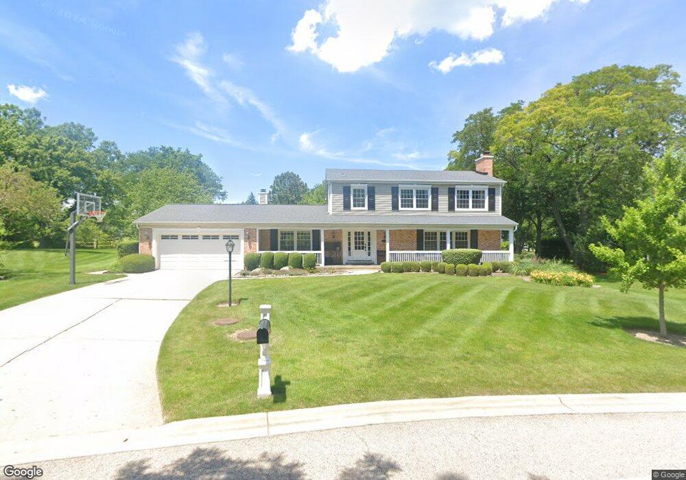
1041 Oak Ridge Cir Barrington, IL 60010
South Barrington NeighborhoodEstimated Value: $765,000 - $785,662
5
Beds
4
Baths
2,842
Sq Ft
$272/Sq Ft
Est. Value
About This Home
This home is located at 1041 Oak Ridge Cir, Barrington, IL 60010 and is currently estimated at $774,416, approximately $272 per square foot. 1041 Oak Ridge Cir is a home located in Cook County with nearby schools including Arnett C. Lines Elementary School, Barrington Middle School Station Campus, and Barrington High School.
Ownership History
Date
Name
Owned For
Owner Type
Purchase Details
Closed on
Oct 1, 2013
Sold by
Munro Mark C and Munro Susan E
Bought by
Munro Mark C and Mark C Munro Trust
Current Estimated Value
Purchase Details
Closed on
Feb 5, 2003
Sold by
Berse Donald P and Berse Jane M
Bought by
Munro Mark C and Munro Susan E
Home Financials for this Owner
Home Financials are based on the most recent Mortgage that was taken out on this home.
Original Mortgage
$125,000
Interest Rate
6.01%
Purchase Details
Closed on
Jul 13, 1995
Sold by
Sittler William R and Sittler Ruth S
Bought by
Berse Donald P and Berse Jane M
Home Financials for this Owner
Home Financials are based on the most recent Mortgage that was taken out on this home.
Original Mortgage
$200,000
Interest Rate
6.5%
Create a Home Valuation Report for This Property
The Home Valuation Report is an in-depth analysis detailing your home's value as well as a comparison with similar homes in the area
Home Values in the Area
Average Home Value in this Area
Purchase History
| Date | Buyer | Sale Price | Title Company |
|---|---|---|---|
| Munro Mark C | -- | None Available | |
| Munro Mark C | $525,000 | Fidelity Title | |
| Berse Donald P | $377,500 | Attorneys Title Guaranty Fun |
Source: Public Records
Mortgage History
| Date | Status | Borrower | Loan Amount |
|---|---|---|---|
| Closed | Munro Mark C | $125,000 | |
| Previous Owner | Berse Donald P | $200,000 |
Source: Public Records
Tax History Compared to Growth
Tax History
| Year | Tax Paid | Tax Assessment Tax Assessment Total Assessment is a certain percentage of the fair market value that is determined by local assessors to be the total taxable value of land and additions on the property. | Land | Improvement |
|---|---|---|---|---|
| 2024 | $11,659 | $55,000 | $6,884 | $48,116 |
| 2023 | $11,379 | $55,000 | $6,884 | $48,116 |
| 2022 | $11,379 | $55,000 | $6,884 | $48,116 |
| 2021 | $11,103 | $47,772 | $4,206 | $43,566 |
| 2020 | $10,770 | $47,772 | $4,206 | $43,566 |
| 2019 | $10,556 | $52,904 | $4,206 | $48,698 |
| 2018 | $10,875 | $52,368 | $3,824 | $48,544 |
| 2017 | $10,670 | $52,368 | $3,824 | $48,544 |
| 2016 | $10,341 | $52,368 | $3,824 | $48,544 |
| 2015 | $9,721 | $45,897 | $3,442 | $42,455 |
| 2014 | $9,624 | $45,897 | $3,442 | $42,455 |
| 2013 | $9,205 | $45,897 | $3,442 | $42,455 |
Source: Public Records
Map
Nearby Homes
- 117 Beverly Rd
- 175 Hilltop Ave
- 216 Beverly Rd
- 101 Surrey Ln
- 104 Howe Terrace
- 248 Beverly Rd
- 185 Cold Spring Rd
- 336 Eastern Ave Unit C4
- 1010 Oakland Dr
- 319 S Glendale Ave Unit 204
- 290 Cold Spring Rd
- 432 Whitney Dr
- 534 E Main St
- 721 Concord Ln
- 1288 The Point St
- 110 Tudor Dr
- 1312 Lake Shore Dr N Unit 7
- 345 E Russell St
- 733 Prairie Ave
- 755 Division St
- 180 Red Barn Ln
- 84 Old Mill Ct
- 1061 Oak Ridge Cir
- 82 Old Mill Ct Unit 5
- 1150 Oak Ridge Cir Unit 5
- 1081 Oak Ridge Cir
- 86 Old Mill Ct
- 200 Red Barn Ln
- 1101 Oak Ridge Cir
- 181 Red Barn Ln
- 1170 Oak Ridge Cir
- 161 Red Barn Ln
- 201 Red Barn Ln
- 88 Old Mill Ct
- 92 Old Mill Ct
- 300 Red Barn Ln
- 94 Old Mill Ct
- 1121 Oak Ridge Cir
- 90 Old Mill Ct
- 255 Red Barn Ln Unit 5