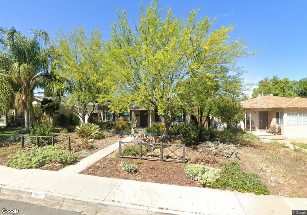
1041 W 8th St Corona, CA 92882
Central Corona NeighborhoodEstimated Value: $545,000 - $576,000
2
Beds
1
Bath
986
Sq Ft
$567/Sq Ft
Est. Value
About This Home
This home is located at 1041 W 8th St, Corona, CA 92882 and is currently estimated at $558,852, approximately $566 per square foot. 1041 W 8th St is a home located in Riverside County with nearby schools including Jefferson Elementary School, Letha Raney Intermediate School, and Corona High School.
Ownership History
Date
Name
Owned For
Owner Type
Purchase Details
Closed on
Mar 14, 2025
Sold by
Hayes Thomas K
Bought by
Thomas Hayes Family Living Trust and Hayes
Current Estimated Value
Purchase Details
Closed on
Feb 22, 2008
Sold by
Hayes June
Bought by
Hayes Thomas K
Home Financials for this Owner
Home Financials are based on the most recent Mortgage that was taken out on this home.
Original Mortgage
$106,000
Interest Rate
6.11%
Mortgage Type
Purchase Money Mortgage
Purchase Details
Closed on
Feb 15, 2008
Sold by
Wengerd Jerry A
Bought by
Hayes Thomas K
Home Financials for this Owner
Home Financials are based on the most recent Mortgage that was taken out on this home.
Original Mortgage
$106,000
Interest Rate
6.11%
Mortgage Type
Purchase Money Mortgage
Create a Home Valuation Report for This Property
The Home Valuation Report is an in-depth analysis detailing your home's value as well as a comparison with similar homes in the area
Home Values in the Area
Average Home Value in this Area
Purchase History
| Date | Buyer | Sale Price | Title Company |
|---|---|---|---|
| Thomas Hayes Family Living Trust | -- | None Listed On Document | |
| Hayes Thomas K | -- | First American Title Company | |
| Hayes Thomas K | $181,000 | First American Title Company |
Source: Public Records
Mortgage History
| Date | Status | Borrower | Loan Amount |
|---|---|---|---|
| Previous Owner | Hayes Thomas K | $106,000 |
Source: Public Records
Tax History
| Year | Tax Paid | Tax Assessment Tax Assessment Total Assessment is a certain percentage of the fair market value that is determined by local assessors to be the total taxable value of land and additions on the property. | Land | Improvement |
|---|---|---|---|---|
| 2025 | $2,649 | $237,725 | $91,937 | $145,788 |
| 2023 | $2,649 | $228,496 | $88,368 | $140,128 |
| 2022 | $2,567 | $224,017 | $86,636 | $137,381 |
| 2021 | $2,516 | $219,626 | $84,938 | $134,688 |
| 2020 | $2,489 | $217,375 | $84,068 | $133,307 |
| 2019 | $2,432 | $213,114 | $82,420 | $130,694 |
| 2018 | $2,378 | $208,936 | $80,804 | $128,132 |
| 2017 | $2,321 | $204,840 | $79,220 | $125,620 |
| 2016 | $2,298 | $200,824 | $77,667 | $123,157 |
| 2015 | $2,249 | $197,809 | $76,501 | $121,308 |
| 2014 | $2,169 | $193,936 | $75,003 | $118,933 |
Source: Public Records
Map
Nearby Homes
- 1203 W 6th St Unit 67
- 831 W 7th St
- 1221 W 10th St
- 712 S Vicentia Ave
- 1214 E St
- 1243 E St
- 1240 E St
- 951 W Kendall St
- 1327 Woodbrook Way
- 991 Norwich Way
- 946 W Kendall St
- 1078 Border Ave
- 467 S Cota St
- 1329 Pleasant View Ave
- 995 Pomona Rd Unit 41
- 995 Pomona Rd Unit 33
- 995 Pomona Rd Unit 88
- 526 W 11th St
- 1421 Glengrove Square
- 1387 Thornwood Square