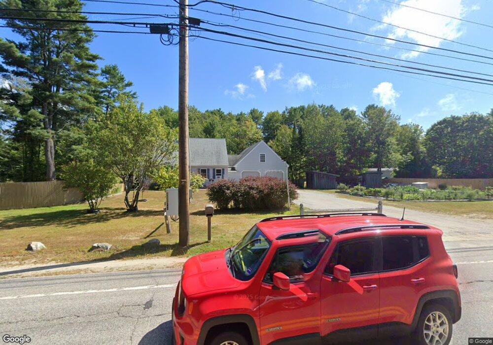
1042 Us Route 1 Freeport, ME 04032
Estimated Value: $529,000 - $666,000
3
Beds
2
Baths
1,904
Sq Ft
$314/Sq Ft
Est. Value
About This Home
This home is located at 1042 Us Route 1, Freeport, ME 04032 and is currently estimated at $597,693, approximately $313 per square foot. 1042 Us Route 1 is a home located in Cumberland County with nearby schools including Morse Street School, Mast Landing School, and Freeport Middle School.
Create a Home Valuation Report for This Property
The Home Valuation Report is an in-depth analysis detailing your home's value as well as a comparison with similar homes in the area
Home Values in the Area
Average Home Value in this Area
Tax History
| Year | Tax Paid | Tax Assessment Tax Assessment Total Assessment is a certain percentage of the fair market value that is determined by local assessors to be the total taxable value of land and additions on the property. | Land | Improvement |
|---|---|---|---|---|
| 2025 | $6,483 | $468,100 | $144,800 | $323,300 |
| 2024 | $6,157 | $461,200 | $137,900 | $323,300 |
| 2023 | $5,581 | $405,900 | $125,300 | $280,600 |
| 2022 | $5,358 | $392,500 | $111,900 | $280,600 |
| 2021 | $5,240 | $392,500 | $111,900 | $280,600 |
| 2020 | $5,146 | $367,600 | $103,600 | $264,000 |
| 2019 | $4,949 | $346,100 | $97,700 | $248,400 |
| 2018 | $4,830 | $320,900 | $88,400 | $232,500 |
| 2017 | $4,611 | $308,400 | $86,600 | $221,800 |
| 2016 | $4,509 | $285,400 | $80,200 | $205,200 |
| 2015 | $4,549 | $270,800 | $76,200 | $194,600 |
| 2014 | $4,279 | $270,800 | $76,200 | $194,600 |
| 2013 | $4,227 | $266,700 | $76,200 | $190,500 |
Source: Public Records
Map
Nearby Homes
- 212 Main St
- 11 Orchard Hill Rd
- 42 Durham Rd
- 10 Durham Rd
- 5 Holbrook St
- 1260 Us Route 1
- 1 Wardtown Rd
- 10 Prout Rd
- 15 Tinkers Way
- 67 Farmview Ln
- 8 Statler Ln
- 45 Beech Hill Rd
- 15 Linwood Rd Unit 15
- 39 Hunter Rd
- 143 Bragdon Rd
- 0 Prout Rd
- 21 Renee Rd
- 31 Allen Range Rd
- 26 Harvest Ridge Rd Unit 24
- 20 Harvest Ridge Rd Unit 23
Your Personal Tour Guide
Ask me questions while you tour the home.