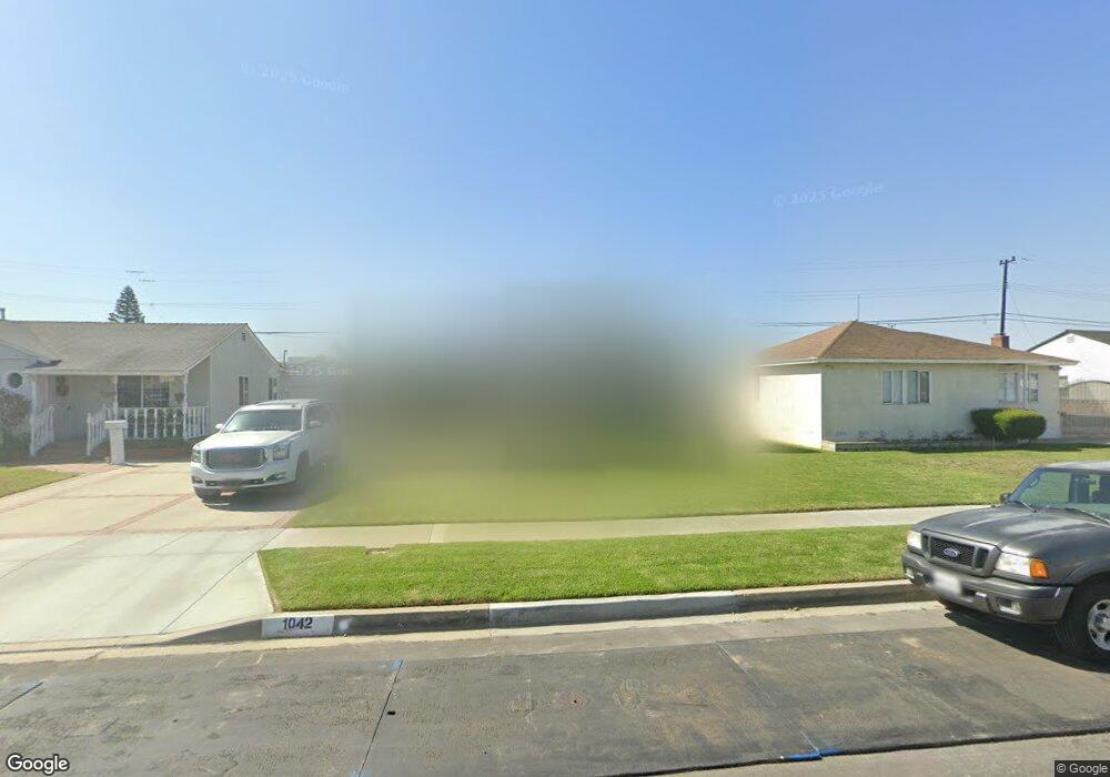
1042 W 212th St Torrance, CA 90502
West Carson NeighborhoodEstimated Value: $683,000 - $920,000
2
Beds
1
Bath
875
Sq Ft
$891/Sq Ft
Est. Value
About This Home
This home is located at 1042 W 212th St, Torrance, CA 90502 and is currently estimated at $779,781, approximately $891 per square foot. 1042 W 212th St is a home located in Los Angeles County with nearby schools including Van Deene Avenue Elementary School, Stephen M. White Middle School, and Nathaniel Narbonne Senior High School.
Ownership History
Date
Name
Owned For
Owner Type
Purchase Details
Closed on
Jul 19, 2019
Sold by
Maynez Christy R and Maynez Michael P
Bought by
Hernandez Jennie and Hernandez Christopher
Current Estimated Value
Home Financials for this Owner
Home Financials are based on the most recent Mortgage that was taken out on this home.
Original Mortgage
$534,187
Outstanding Balance
$466,050
Interest Rate
3.62%
Mortgage Type
FHA
Estimated Equity
$313,731
Purchase Details
Closed on
Jan 27, 2018
Sold by
Maynez Christy
Bought by
Maynez Christy R and Maynez Emily M
Purchase Details
Closed on
Sep 12, 2017
Sold by
Maclean Nel
Bought by
Maynez Christy and Emily Maynez I
Home Financials for this Owner
Home Financials are based on the most recent Mortgage that was taken out on this home.
Original Mortgage
$340,000
Interest Rate
3.86%
Mortgage Type
New Conventional
Purchase Details
Closed on
Mar 11, 2015
Sold by
Maclean Neil
Bought by
Maclean Neil
Home Financials for this Owner
Home Financials are based on the most recent Mortgage that was taken out on this home.
Original Mortgage
$351,000
Interest Rate
3.54%
Mortgage Type
New Conventional
Purchase Details
Closed on
Jun 28, 2002
Sold by
Maclean Sharon Rachel
Bought by
Maclean Neil
Home Financials for this Owner
Home Financials are based on the most recent Mortgage that was taken out on this home.
Original Mortgage
$214,400
Interest Rate
6.69%
Purchase Details
Closed on
Jun 19, 2002
Sold by
Atilano Rudy A
Bought by
Maclean Neil
Home Financials for this Owner
Home Financials are based on the most recent Mortgage that was taken out on this home.
Original Mortgage
$214,400
Interest Rate
6.69%
Purchase Details
Closed on
Apr 27, 1998
Sold by
Laforce John M
Bought by
Atilano Rudy A and Atilano Salina L
Home Financials for this Owner
Home Financials are based on the most recent Mortgage that was taken out on this home.
Original Mortgage
$167,785
Interest Rate
7.17%
Mortgage Type
FHA
Create a Home Valuation Report for This Property
The Home Valuation Report is an in-depth analysis detailing your home's value as well as a comparison with similar homes in the area
Home Values in the Area
Average Home Value in this Area
Purchase History
| Date | Buyer | Sale Price | Title Company |
|---|---|---|---|
| Hernandez Jennie | $560,000 | Western Resources Title | |
| Maynez Christy R | -- | None Available | |
| Maynez Christy | $490,000 | Progressive Title Co Inc | |
| Maclean Neil | -- | Chicago Title | |
| Maclean Neil | -- | First American Title Co | |
| Maclean Neil | $290,000 | First American Title Co | |
| Atilano Rudy A | $173,000 | United Title Company |
Source: Public Records
Mortgage History
| Date | Status | Borrower | Loan Amount |
|---|---|---|---|
| Open | Hernandez Jennie | $534,187 | |
| Previous Owner | Maynez Christy | $340,000 | |
| Previous Owner | Maclean Neil | $351,000 | |
| Previous Owner | Maclean Neil | $214,400 | |
| Previous Owner | Atilano Rudy A | $167,785 |
Source: Public Records
Tax History Compared to Growth
Tax History
| Year | Tax Paid | Tax Assessment Tax Assessment Total Assessment is a certain percentage of the fair market value that is determined by local assessors to be the total taxable value of land and additions on the property. | Land | Improvement |
|---|---|---|---|---|
| 2025 | $7,692 | $612,436 | $489,950 | $122,486 |
| 2024 | $7,692 | $600,429 | $480,344 | $120,085 |
| 2023 | $7,554 | $588,657 | $470,926 | $117,731 |
| 2022 | $7,183 | $577,116 | $461,693 | $115,423 |
| 2021 | $7,111 | $565,801 | $452,641 | $113,160 |
| 2019 | $6,273 | $496,400 | $387,271 | $109,129 |
| 2018 | $6,209 | $490,000 | $392,000 | $98,000 |
| 2016 | $4,184 | $327,878 | $262,307 | $65,571 |
| 2015 | $4,109 | $322,954 | $258,367 | $64,587 |
| 2014 | $4,103 | $316,628 | $253,306 | $63,322 |
Source: Public Records
Map
Nearby Homes
- 21141 Berendo Ave
- 1107 W 210th St
- 22325 Sage Ct
- 22302 Sage Ct
- 22303 Sage Ct
- 21125 Normandie Ave
- 941 W Carson St Unit 106
- 20710 Raymond Ave
- 20616 Budlong Ave
- 20813 Normandie Ave
- 20553 S Vermont Ave Unit 1
- 20553 S Vermont Ave Unit 6
- 20545 S Vermont Ave Unit 2
- 20612 Kenwood Ave
- 1291 Bonnet Way
- 20907 Halldale Ave
- 1145 Milton St
- 20518 Raymond Ave
- 21322 Denker Ave
- 715 W 220th St Unit 32
- 1046 W 212th St
- 1036 W 212th St
- 21203 Berendo Ave
- 1052 W 212th St
- 1030 W 212th St
- 21212 Royal Blvd
- 21209 Berendo Ave
- 21145 Berendo Ave
- 21216 Royal Blvd
- 1026 W 212th St
- 21128 Royal Blvd
- 21202 Berendo Ave
- 21213 Berendo Ave
- 21222 Royal Blvd
- 21122 Royal Blvd
- 1020 W 212th St
- 1102 W 212th St
- 21208 Berendo Ave
- 21144 Berendo Ave
- 21219 Berendo Ave