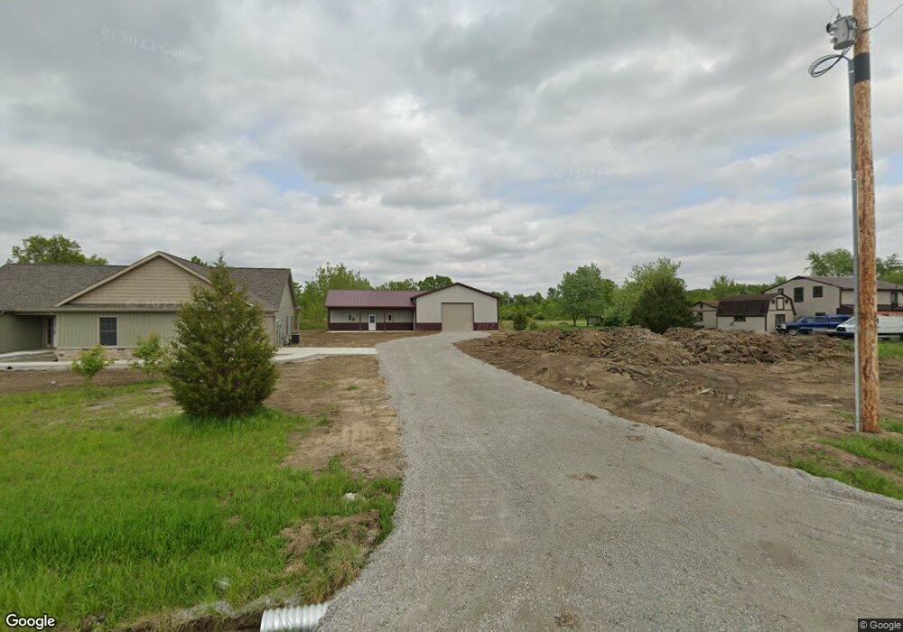
10421 Trentman Rd Fort Wayne, IN 46816
Estimated Value: $370,000 - $469,845
3
Beds
2
Baths
1,849
Sq Ft
$225/Sq Ft
Est. Value
About This Home
This home is located at 10421 Trentman Rd, Fort Wayne, IN 46816 and is currently estimated at $415,961, approximately $224 per square foot. 10421 Trentman Rd is a home with nearby schools including Heritage Junior/Senior High School, St. Joseph Hessen Cassel School, and Martin Luther King Montessori School.
Ownership History
Date
Name
Owned For
Owner Type
Purchase Details
Closed on
Sep 19, 2018
Sold by
Jaime
Bought by
Carl
Current Estimated Value
Purchase Details
Closed on
Jan 5, 2010
Sold by
Shive Virgil Robert and Shive Aimee J
Bought by
Walker Jaime L
Home Financials for this Owner
Home Financials are based on the most recent Mortgage that was taken out on this home.
Original Mortgage
$10,712
Interest Rate
4.78%
Mortgage Type
Purchase Money Mortgage
Create a Home Valuation Report for This Property
The Home Valuation Report is an in-depth analysis detailing your home's value as well as a comparison with similar homes in the area
Home Values in the Area
Average Home Value in this Area
Purchase History
| Date | Buyer | Sale Price | Title Company |
|---|---|---|---|
| Carl | $44,900 | -- | |
| Clair Carl E | $44,900 | Fidelity Natl Title Co Llc | |
| Walker Jaime L | -- | Atg |
Source: Public Records
Mortgage History
| Date | Status | Borrower | Loan Amount |
|---|---|---|---|
| Previous Owner | Walker Jaime L | $10,712 |
Source: Public Records
Tax History Compared to Growth
Tax History
| Year | Tax Paid | Tax Assessment Tax Assessment Total Assessment is a certain percentage of the fair market value that is determined by local assessors to be the total taxable value of land and additions on the property. | Land | Improvement |
|---|---|---|---|---|
| 2024 | $551 | $408,400 | $43,200 | $365,200 |
| 2023 | $558 | $94,900 | $37,400 | $57,500 |
| 2022 | $504 | $37,400 | $37,400 | -- |
| 2021 | $558 | $37,400 | $37,400 | $0 |
| 2020 | $561 | $37,400 | $37,400 | $0 |
| 2019 | $575 | $37,400 | $37,400 | $0 |
| 2018 | $16 | $14,400 | $14,400 | $0 |
| 2017 | $17 | $14,400 | $14,400 | $0 |
| 2016 | $51 | $14,400 | $14,400 | $0 |
| 2014 | $240 | $14,400 | $14,400 | $0 |
| 2013 | $247 | $14,400 | $14,400 | $0 |
Source: Public Records
Map
Nearby Homes
- 4011 Bostick Rd
- 4710 Monroeville Rd
- 12727 S US Highway 27
- 12717 US Highway 27 S
- 7922 Dorsett Dr
- 3102 Crestmont Dr
- 3102 Southwin Dr
- 7231 Treverton Dr
- 3516 Debeney Dr
- 7212 Treverton Dr
- 7510 Gathings Dr
- 7351 Starks (Lot 43) Blvd
- 7354 Starks Blvd
- 7327 Starks (Lot 41) Blvd
- 7264 Blvd Unit Lot 12
- 4020 Lynfield Dr
- 7075 Starks Blvd Unit Lot 30
- 6715 Prescott Ct
- 6418 Melville Dr
- 2630 Chandler Dr
- 10435 Trentman Rd
- 4817 Thompson Rd
- 4833 Thompson Rd
- 10400 Trentman Rd
- 10519 Trentman Rd
- 4915 Thompson Rd
- 4719 Thompson Rd
- 000 Trentman Rd
- 4931 Thompson Rd
- 10607 Trentman Rd
- 11210 Trentman Rd
- 5011 Thompson Rd
- 4621 Thompson Rd
- 5027 Thompson Rd
- 10700 Trentman Rd
- 5109 Thompson Rd
- 5110 Thompson Rd
- 10003 Trentman Rd
- 10130 Trentman Rd
- 4531 Thompson Rd