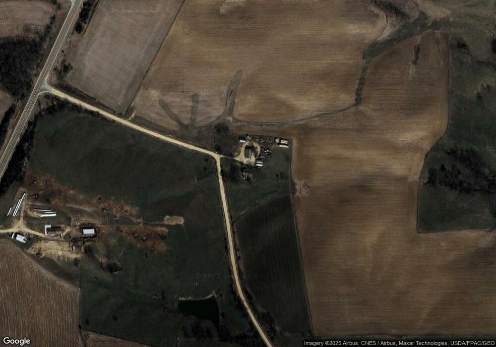
10425 256th Ave Maquoketa, IA 52060
Estimated Value: $357,423 - $449,000
3
Beds
4
Baths
2,188
Sq Ft
$189/Sq Ft
Est. Value
About This Home
This home is located at 10425 256th Ave, Maquoketa, IA 52060 and is currently estimated at $413,856, approximately $189 per square foot. 10425 256th Ave is a home located in Jackson County with nearby schools including Andrew Elementary School.
Create a Home Valuation Report for This Property
The Home Valuation Report is an in-depth analysis detailing your home's value as well as a comparison with similar homes in the area
Home Values in the Area
Average Home Value in this Area
Tax History Compared to Growth
Tax History
| Year | Tax Paid | Tax Assessment Tax Assessment Total Assessment is a certain percentage of the fair market value that is determined by local assessors to be the total taxable value of land and additions on the property. | Land | Improvement |
|---|---|---|---|---|
| 2025 | $2,412 | $258,600 | $73,100 | $185,500 |
| 2024 | $2,412 | $227,800 | $61,300 | $166,500 |
| 2023 | $2,404 | $227,800 | $61,300 | $166,500 |
| 2022 | $1,994 | $170,800 | $61,300 | $109,500 |
| 2021 | $2,052 | $170,800 | $61,300 | $109,500 |
| 2020 | $2,052 | $168,200 | $57,500 | $110,700 |
| 2019 | $1,980 | $163,200 | $0 | $0 |
| 2018 | $1,926 | $163,200 | $0 | $0 |
| 2017 | $1,926 | $145,500 | $0 | $0 |
| 2016 | $1,768 | $145,500 | $0 | $0 |
| 2015 | $1,768 | $145,500 | $0 | $0 |
| 2014 | $1,992 | $145,500 | $0 | $0 |
Source: Public Records
Map
Nearby Homes
- 10449 Highway 62
- 10449 Highway 62
- 11823 Highway 62
- 10078 256th Ave
- 10078 256th Ave
- 10201 Highway 62
- 9907 256th Ave
- 11878 Highway 62
- 11878 Iowa 62
- 11878 Highway 62
- 9768 256th Ave
- 9454 256th Ave
- 9780 Highway 62
- 26478 Iron Bridge Rd
- 26592 Iron Bridge Rd
- 26594 Iron Bridge Rd
- 27009 Iron Bridge Rd
- 25510 92nd St
- 25322 92nd St
- 24752 117th St