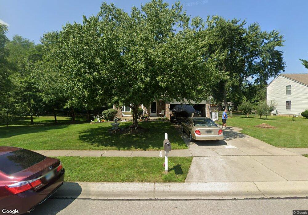
10439 Springrun Dr Cincinnati, OH 45231
New Burlington NeighborhoodEstimated Value: $302,075 - $321,000
4
Beds
3
Baths
1,716
Sq Ft
$179/Sq Ft
Est. Value
About This Home
This home is located at 10439 Springrun Dr, Cincinnati, OH 45231 and is currently estimated at $308,019, approximately $179 per square foot. 10439 Springrun Dr is a home located in Hamilton County with nearby schools including Mt Healthy High School, Hamilton County Mathematics and Science Academy, and Central Montessori Academy.
Ownership History
Date
Name
Owned For
Owner Type
Purchase Details
Closed on
Jun 1, 1998
Sold by
Angeline Jeffrey A
Bought by
Riddell Adam W and Riddell Lynn
Current Estimated Value
Purchase Details
Closed on
May 30, 1995
Sold by
Weber William Jay and Weber Lisa Kaye
Bought by
Angeline Jeffrey A
Home Financials for this Owner
Home Financials are based on the most recent Mortgage that was taken out on this home.
Original Mortgage
$119,700
Interest Rate
8.26%
Create a Home Valuation Report for This Property
The Home Valuation Report is an in-depth analysis detailing your home's value as well as a comparison with similar homes in the area
Home Values in the Area
Average Home Value in this Area
Purchase History
| Date | Buyer | Sale Price | Title Company |
|---|---|---|---|
| Riddell Adam W | $132,400 | -- | |
| Angeline Jeffrey A | -- | -- |
Source: Public Records
Mortgage History
| Date | Status | Borrower | Loan Amount |
|---|---|---|---|
| Previous Owner | Angeline Jeffrey A | $119,700 |
Source: Public Records
Tax History
| Year | Tax Paid | Tax Assessment Tax Assessment Total Assessment is a certain percentage of the fair market value that is determined by local assessors to be the total taxable value of land and additions on the property. | Land | Improvement |
|---|---|---|---|---|
| 2025 | $4,649 | $78,719 | $13,153 | $65,566 |
| 2024 | $4,608 | $78,719 | $13,153 | $65,566 |
| 2023 | $4,380 | $78,719 | $13,153 | $65,566 |
| 2022 | $5,262 | $68,338 | $12,824 | $55,514 |
| 2021 | $5,123 | $68,338 | $12,824 | $55,514 |
| 2020 | $5,199 | $68,338 | $12,824 | $55,514 |
| 2019 | $4,391 | $53,810 | $10,098 | $43,712 |
| 2018 | $4,342 | $53,810 | $10,098 | $43,712 |
| 2017 | $4,120 | $53,810 | $10,098 | $43,712 |
| 2016 | $3,914 | $50,379 | $9,576 | $40,803 |
| 2015 | $3,945 | $50,379 | $9,576 | $40,803 |
| 2014 | $3,926 | $50,379 | $9,576 | $40,803 |
| 2013 | $4,222 | $55,364 | $10,525 | $44,839 |
Source: Public Records
Map
Nearby Homes
- 10493 Mill Rd
- 10453 Mill Rd
- 1858 Aspenhill Dr
- 1887 Lotushill Dr
- 10228 Springbeauty Ln
- 1958 Bluehill Dr
- 1931 Lotushill Dr
- 1854 Windmill Way
- 2192 Pinney Ln
- 10908 Tangleberry Ct
- 2071 Roosevelt Ave
- 10945 Crystalhill Ct
- 10877 Birchridge Dr
- 1805 Miles Rd
- 10474 Gloria Ave
- 10897 Sprucehill Dr
- 2456 Fulbourne Dr
- 2342 Washington Ave
- 624 Brightview Dr
- 626 Brightview Dr
- 10445 Springrun Dr
- 10472 Maria Ave
- 10464 Maria Ave
- 10429 Springrun Dr
- 10451 Springrun Dr
- 10454 Maria Ave
- 10440 Springrun Dr
- 10484 Maria Ave
- 10436 Springrun Dr
- 10444 Springrun Dr
- 10446 Maria Ave
- 10430 Springrun Dr
- 10450 Springrun Dr
- 10423 Springrun Dr
- 10455 Springrun Dr
- 10426 Springrun Dr
- 10438 Maria Ave
- 10470 Springrun Dr
- 10419 Springrun Dr
- 10575 Farm Hill Ct
Your Personal Tour Guide
Ask me questions while you tour the home.