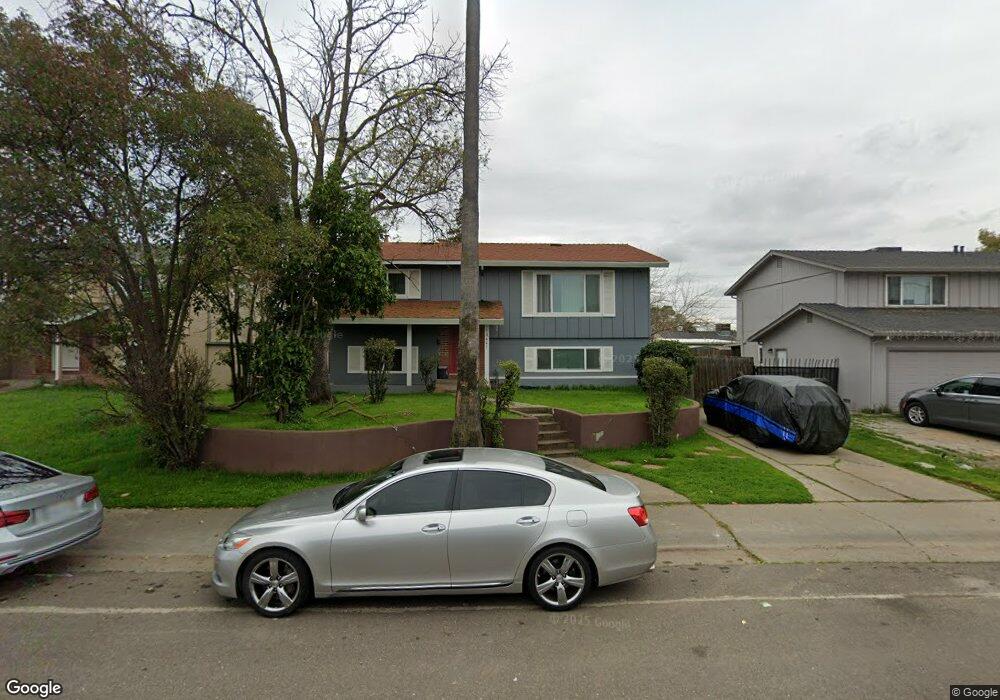
10441 Reymouth Ave Rancho Cordova, CA 95670
South White Rock NeighborhoodEstimated Value: $407,000 - $512,000
5
Beds
2
Baths
1,948
Sq Ft
$238/Sq Ft
Est. Value
About This Home
This home is located at 10441 Reymouth Ave, Rancho Cordova, CA 95670 and is currently estimated at $463,553, approximately $237 per square foot. 10441 Reymouth Ave is a home located in Sacramento County with nearby schools including Cordova Villa Elementary School, Mills Middle School, and Cordova High School.
Ownership History
Date
Name
Owned For
Owner Type
Purchase Details
Closed on
Aug 17, 2004
Sold by
Jackson Earline
Bought by
Jackson Sharon Ann
Current Estimated Value
Home Financials for this Owner
Home Financials are based on the most recent Mortgage that was taken out on this home.
Original Mortgage
$192,000
Interest Rate
6.37%
Mortgage Type
Purchase Money Mortgage
Create a Home Valuation Report for This Property
The Home Valuation Report is an in-depth analysis detailing your home's value as well as a comparison with similar homes in the area
Home Values in the Area
Average Home Value in this Area
Purchase History
| Date | Buyer | Sale Price | Title Company |
|---|---|---|---|
| Jackson Sharon Ann | $240,000 | Commonwealth Land Title |
Source: Public Records
Mortgage History
| Date | Status | Borrower | Loan Amount |
|---|---|---|---|
| Closed | Jackson Sharon Ann | $192,000 | |
| Closed | Jackson Sharon Ann | $36,000 |
Source: Public Records
Tax History Compared to Growth
Tax History
| Year | Tax Paid | Tax Assessment Tax Assessment Total Assessment is a certain percentage of the fair market value that is determined by local assessors to be the total taxable value of land and additions on the property. | Land | Improvement |
|---|---|---|---|---|
| 2025 | $4,973 | $334,521 | $76,656 | $257,865 |
| 2024 | $4,973 | $327,962 | $75,153 | $252,809 |
| 2023 | $4,890 | $321,532 | $73,680 | $247,852 |
| 2022 | $4,825 | $315,229 | $72,236 | $242,993 |
| 2021 | $4,322 | $309,049 | $70,820 | $238,229 |
| 2020 | $4,746 | $305,881 | $70,094 | $235,787 |
| 2019 | $4,525 | $286,194 | $65,584 | $220,610 |
| 2018 | $4,356 | $275,187 | $63,062 | $212,125 |
| 2017 | $3,998 | $247,917 | $56,813 | $191,104 |
| 2016 | $3,740 | $219,396 | $50,277 | $169,119 |
| 2015 | $3,247 | $199,452 | $45,707 | $153,745 |
| 2014 | $3,766 | $188,162 | $43,120 | $145,042 |
Source: Public Records
Map
Nearby Homes
- 10472 Abbottford Way
- 10276 S White Rock Rd
- 10395 S White Rock Rd Unit B
- 10850 Basie Way
- 10834 Basie Way
- 10806 Basie Way
- 10233 Countryside Way
- 10335 White Rock Rd
- 10518 Mills Acres Cir
- 10035 Mills Station Rd
- 10035 Mills Station Rd Unit 60
- 10035 Mills Station Rd Unit 26
- 10035 Mills Station Rd Unit 136
- 10035 Mills Station Rd Unit 153
- 3478 Nut Plains Dr
- 102 Countess
- 50 Shrine Way
- 146 Lord Way
- 60 Count Way
- 2669 Dawes St
- 10437 Reymouth Ave
- 10449 Abington Way
- 10445 Abington Way
- 10433 Reymouth Ave
- 10453 Abington Way
- 10441 Abington Way
- 10442 Reymouth Ave
- 10446 Reymouth Ave
- 10438 Reymouth Ave
- 10429 Reymouth Ave
- 10437 Abington Way
- 3228 Chettenham Dr
- 10434 Reymouth Ave
- 10450 Reymouth Ave
- 10433 Abington Way
- 10430 Reymouth Ave
- 10425 Reymouth Ave
- 10442 Abington Way
- 3225 Chettenham Dr
- 10432 Autumn Breeze Way