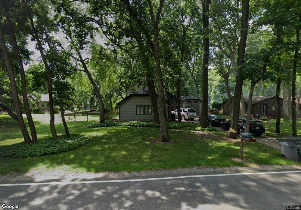
10446 Anderson Rd Granger, IN 46530
Estimated Value: $321,341 - $355,000
3
Beds
3
Baths
2,089
Sq Ft
$164/Sq Ft
Est. Value
About This Home
This home is located at 10446 Anderson Rd, Granger, IN 46530 and is currently estimated at $343,335, approximately $164 per square foot. 10446 Anderson Rd is a home located in St. Joseph County with nearby schools including Horizon Elementary School, Discovery Middle School, and Penn High School.
Ownership History
Date
Name
Owned For
Owner Type
Purchase Details
Closed on
Mar 27, 2006
Sold by
Thompson William J and Thompson Emily
Bought by
Glotzbach Mark E and Glotzbach Tara M
Current Estimated Value
Home Financials for this Owner
Home Financials are based on the most recent Mortgage that was taken out on this home.
Original Mortgage
$130,000
Outstanding Balance
$72,061
Interest Rate
6.33%
Mortgage Type
New Conventional
Estimated Equity
$271,274
Create a Home Valuation Report for This Property
The Home Valuation Report is an in-depth analysis detailing your home's value as well as a comparison with similar homes in the area
Home Values in the Area
Average Home Value in this Area
Purchase History
| Date | Buyer | Sale Price | Title Company |
|---|---|---|---|
| Glotzbach Mark E | -- | Meridian Title Corp |
Source: Public Records
Mortgage History
| Date | Status | Borrower | Loan Amount |
|---|---|---|---|
| Open | Glotzbach Mark E | $130,000 |
Source: Public Records
Tax History
| Year | Tax Paid | Tax Assessment Tax Assessment Total Assessment is a certain percentage of the fair market value that is determined by local assessors to be the total taxable value of land and additions on the property. | Land | Improvement |
|---|---|---|---|---|
| 2025 | $2,154 | $281,100 | $61,500 | $219,600 |
| 2024 | $2,027 | $249,400 | $61,500 | $187,900 |
| 2023 | $1,979 | $249,300 | $61,500 | $187,800 |
| 2022 | $1,966 | $227,800 | $61,500 | $166,300 |
| 2021 | $1,944 | $205,100 | $34,900 | $170,200 |
| 2020 | $1,859 | $200,800 | $34,200 | $166,600 |
| 2019 | $1,741 | $190,100 | $34,400 | $155,700 |
| 2018 | $1,784 | $196,200 | $35,200 | $161,000 |
| 2017 | $1,289 | $148,900 | $26,700 | $122,200 |
| 2016 | $1,317 | $148,900 | $26,700 | $122,200 |
| 2014 | $1,333 | $147,300 | $26,700 | $120,600 |
Source: Public Records
Map
Nearby Homes
- 10287 Ashleys Meadow Dr
- 51950 Gardens East Ln
- 52104 Ash Rd
- 30638 Quail Pointe Dr
- 10700 Adams Rd
- 50944 Pine Meadows Dr
- 50920 Northbrook Shores Dr
- 50782 Elk Trail
- 30351 Deer Pointe
- 50975 Cobus Ridge Ln
- 50633 Weeping Willow Run W
- 30356 Blackhawk Dr
- 11540 Greyson Alan Dr
- 50637 Stonecutter Dr
- 53155 Prestwick Ct
- 51150 Mason James Dr
- 11500 Greyson Alan Dr
- 51275 Crooked Oak Dr
- 71353 State Line Rd
- 51877 Gentian Ln
- 10400 Anderson Rd
- 10458 Anderson Rd
- 10491 Glen Lee Trail
- 10422 Anderson Rd
- 10441 Glen Lee Trail
- 10455 Glen Lee Trail
- 10423 Glen Lee Trail
- 10487 Glen Lee Trail
- 51735 Creekside Dr
- 10388 Anderson Rd
- 10456 Turtle Dove Ct
- 10397 Glen Lee Trail
- 10480 Turtle Dove Ct
- 10492 Glen Lee Trail
- 10366 Anderson Rd
- 10470 Glen Lee Trail
- 10375 Glen Lee Trail
- 10490 Glen Lee Trail
- 10450 Glen Lee Trail
- 10436 Glen Lee Trail
Your Personal Tour Guide
Ask me questions while you tour the home.