10459 Stoops Rd Dillsboro, IN 47018
Estimated Value: $455,000 - $795,000
3
Beds
3
Baths
2,992
Sq Ft
$221/Sq Ft
Est. Value
About This Home
This home is located at 10459 Stoops Rd, Dillsboro, IN 47018 and is currently estimated at $661,151, approximately $220 per square foot. 10459 Stoops Rd is a home located in Dearborn County with nearby schools including Dillsboro Elementary School, South Dearborn Middle School, and South Dearborn High School.
Ownership History
Date
Name
Owned For
Owner Type
Purchase Details
Closed on
Jul 31, 2019
Sold by
Anderson James Est
Bought by
Thomas Dustin L and Thomas Erin L
Current Estimated Value
Home Financials for this Owner
Home Financials are based on the most recent Mortgage that was taken out on this home.
Original Mortgage
$355,000
Outstanding Balance
$310,914
Interest Rate
3.7%
Mortgage Type
New Conventional
Estimated Equity
$350,237
Create a Home Valuation Report for This Property
The Home Valuation Report is an in-depth analysis detailing your home's value as well as a comparison with similar homes in the area
Purchase History
| Date | Buyer | Sale Price | Title Company |
|---|---|---|---|
| Thomas Dustin L | $480,000 | Ewan Law Office |
Source: Public Records
Mortgage History
| Date | Status | Borrower | Loan Amount |
|---|---|---|---|
| Open | Thomas Dustin L | $355,000 |
Source: Public Records
Tax History
| Year | Tax Paid | Tax Assessment Tax Assessment Total Assessment is a certain percentage of the fair market value that is determined by local assessors to be the total taxable value of land and additions on the property. | Land | Improvement |
|---|---|---|---|---|
| 2024 | $3,070 | $263,500 | $62,600 | $200,900 |
| 2023 | $2,989 | $247,900 | $56,200 | $191,700 |
| 2022 | $2,579 | $219,700 | $49,400 | $170,300 |
| 2021 | $2,263 | $197,000 | $45,900 | $151,100 |
| 2020 | $2,248 | $197,700 | $45,700 | $152,000 |
| 2019 | $1,574 | $203,600 | $49,600 | $154,000 |
| 2018 | $1,681 | $206,400 | $50,500 | $155,900 |
| 2017 | $1,670 | $201,600 | $54,400 | $147,200 |
| 2016 | $1,689 | $203,600 | $56,200 | $147,400 |
| 2014 | $1,611 | $206,500 | $57,700 | $148,800 |
Source: Public Records
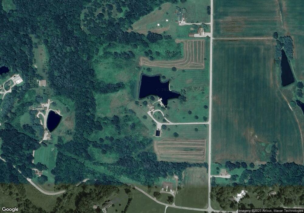
Map
Nearby Homes
- 15100 US Highway 50
- 9559 Stoops Rd
- 9463 Stoops Rd
- 10490 Twin Oaks Dr
- 0 Liana Dr Unit 206703
- 0 Liana Dr Unit 206712
- 0 Liana Dr Unit 206713
- 10311 Liana Dr
- 10309 Liana Dr
- 15110 Veterans Ln
- 15998 Burke Benning Rd
- 13593 W County Line Rd
- 11600 Long Branch Rd
- 5027 E County Road 300 S
- 7191 Indiana 62
- 13371 Long Branch Rd
- 3103 S Friendship Rd
- 12231 Chesterville Rd
- 11285 Chesterville Rd
- 10829 Sharon Dr
- 15050 Spangler Rd
- 10737 Stoops Rd
- 10769 Stoops Rd
- 15153 Spangler Rd
- 10568 Cat Crossing Ln
- 0 Stoops Rd
- 10454 Cat Crossing Ln
- 15039 Spangler Rd
- 15360 Spangler Rd
- 0-0 Stoops Spangler Rd
- 10287 Stoops Rd
- 15095 Beaten Path Ln
- 14854 Spangler Rd
- 10730 Stoops Rd
- 10883 Stoops Rd
- 10249 Stoops Rd
- 15150 Beaten Path Ln
- 10270 Stoops Rd
- 10941 Stoops Rd
- 14822 Spangler Rd
Your Personal Tour Guide
Ask me questions while you tour the home.