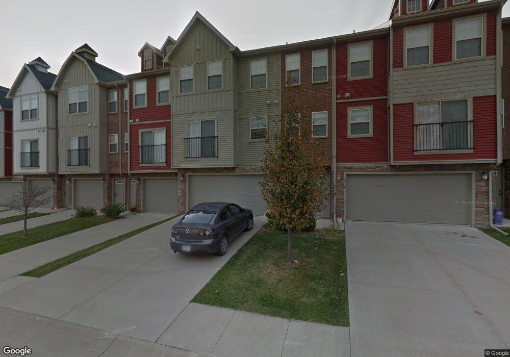
1046 Cobalt Dr West Des Moines, IA 50266
Estimated Value: $170,979 - $275,000
2
Beds
2
Baths
1,104
Sq Ft
$187/Sq Ft
Est. Value
About This Home
This home is located at 1046 Cobalt Dr, West Des Moines, IA 50266 and is currently estimated at $205,995, approximately $186 per square foot. 1046 Cobalt Dr is a home with nearby schools including Maple Grove Elementary School, Prairieview Middle School, and South Middle School.
Create a Home Valuation Report for This Property
The Home Valuation Report is an in-depth analysis detailing your home's value as well as a comparison with similar homes in the area
Home Values in the Area
Average Home Value in this Area
Tax History Compared to Growth
Tax History
| Year | Tax Paid | Tax Assessment Tax Assessment Total Assessment is a certain percentage of the fair market value that is determined by local assessors to be the total taxable value of land and additions on the property. | Land | Improvement |
|---|---|---|---|---|
| 2024 | $2,402 | $145,740 | $10,000 | $135,740 |
| 2023 | $2,402 | $145,740 | $10,000 | $135,740 |
| 2022 | $2,086 | $128,250 | $10,000 | $118,250 |
| 2021 | $2,086 | $112,740 | $10,000 | $102,740 |
| 2020 | $2,034 | $106,410 | $10,000 | $96,410 |
| 2019 | $2,024 | $106,410 | $10,000 | $96,410 |
| 2018 | $2,024 | $101,020 | $10,000 | $91,020 |
| 2017 | $2,034 | $101,020 | $10,000 | $91,020 |
| 2016 | $1,840 | $91,650 | $10,000 | $81,650 |
| 2015 | $1,784 | $91,650 | $0 | $0 |
| 2014 | $1,784 | $85,450 | $0 | $0 |
Source: Public Records
Map
Nearby Homes
- 8830 Norway Dr
- 9110 Spring Crest Ln
- 8580 Ashworth Rd
- 9140 Spring Crest Ln
- 9163 Maisy Ln
- 9124 Canyon St
- 8601 Westown Pkwy Unit 14108
- 8601 Westown Pkwy Unit 17113
- 8601 Westown Pkwy Unit 13108
- 8601 Westown Pkwy Unit 31101
- 8601 Westown Pkwy Unit 30106
- 10675 Silver St
- 10683 Silver St
- 10832 Silver St
- 10804 Silver St
- 10707 Silver St
- 10857 Silver St
- 10745 Silver St
- 10843 Silver St
- 10780 Silver St