1046 Collins Ln McComb, MS 39648
Estimated Value: $210,000 - $394,831
3
Beds
2
Baths
2,013
Sq Ft
$151/Sq Ft
Est. Value
About This Home
This home is located at 1046 Collins Ln, McComb, MS 39648 and is currently estimated at $302,958, approximately $150 per square foot. 1046 Collins Ln is a home located in Pike County with nearby schools including North Pike Elementary School, North Pike Middle School, and North Pike Senior High School.
Ownership History
Date
Name
Owned For
Owner Type
Purchase Details
Closed on
Sep 30, 2022
Sold by
Kims Farms Inc
Bought by
Ngaling Farm Inc
Current Estimated Value
Purchase Details
Closed on
Nov 21, 2012
Sold by
Koehler John T and Koehler Elizabeth G
Bought by
Robertson Donald A and Robertson Delean S
Home Financials for this Owner
Home Financials are based on the most recent Mortgage that was taken out on this home.
Original Mortgage
$2,131,601
Interest Rate
3.45%
Mortgage Type
Purchase Money Mortgage
Create a Home Valuation Report for This Property
The Home Valuation Report is an in-depth analysis detailing your home's value as well as a comparison with similar homes in the area
Purchase History
| Date | Buyer | Sale Price | Title Company |
|---|---|---|---|
| Ngaling Farm Inc | -- | -- | |
| Robertson Donald A | -- | None Available |
Source: Public Records
Mortgage History
| Date | Status | Borrower | Loan Amount |
|---|---|---|---|
| Previous Owner | Robertson Donald A | $2,131,601 |
Source: Public Records
Tax History
| Year | Tax Paid | Tax Assessment Tax Assessment Total Assessment is a certain percentage of the fair market value that is determined by local assessors to be the total taxable value of land and additions on the property. | Land | Improvement |
|---|---|---|---|---|
| 2025 | $3,945 | $29,119 | $0 | $0 |
| 2024 | $3,714 | $27,013 | $0 | $0 |
| 2023 | $3,641 | $27,062 | $0 | $0 |
| 2022 | $3,596 | $27,115 | $0 | $0 |
| 2021 | $3,594 | $27,173 | $0 | $0 |
| 2020 | $3,721 | $28,012 | $0 | $0 |
| 2019 | $3,623 | $27,951 | $0 | $0 |
| 2018 | $3,606 | $28,009 | $0 | $0 |
| 2017 | $3,526 | $27,983 | $0 | $0 |
| 2016 | $3,099 | $27,848 | $0 | $0 |
| 2015 | -- | $26,969 | $0 | $0 |
| 2014 | -- | $26,874 | $0 | $0 |
| 2013 | -- | $26,772 | $0 | $0 |
Source: Public Records
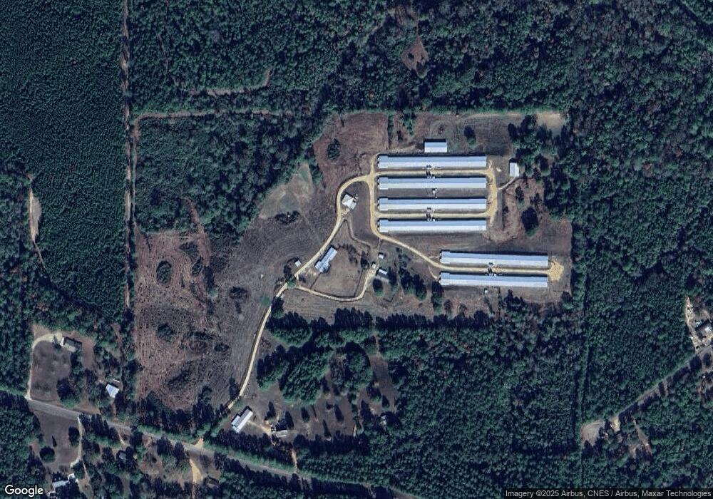
Map
Nearby Homes
- 7020 Gibson Rd
- 0 Gibson Rd and Fortenberry Cir Unit 4128519
- 5089 U S 98
- 6121 Gibson Rd
- 4134 U S 98
- 1059 Candy Ln
- 6004 Gibson Rd
- 1195 Eleanor Dr
- 4022 Old Highway 24 Extension
- 2094 W Topisaw S
- 8127 Magnolia Holmesville Rd
- 5014 Leatherwood Rd
- 1028 Chester Reeves Rd
- 1031 Beck St
- 1022 Friendship Cir
- 0 Rolling Oaks Dr
- 1011 Rolling Oaks Dr
- 4115 Old Hwy 24
- 2108 Joel Lang Rd
- 0 Deer Ridge Rd
- 1050 Collins Ln
- 1007 Greer Rd
- 1135 Heights Rd
- 1112 Heights Rd
- 1102 Heights Rd
- 6061 McComb-hville Rd
- 6090 McComb Holmesville Rd
- 1141 Heights Rd
- 6063 McComb Holmesville Rd
- 1042 Collins Ln
- 1067 Heights Rd
- 8120 Summit-Hville Rd
- 6028 McComb Holmesville Rd
- 6012 McComb Holmesville Rd
- 8162 Summit-Hville Rd
- 6054 McComb Holmesville Rd
- 6032 McComb Holmesville Rd
- 8108 Summit-Hville Rd
- 8150 Summit-Hville Rd
- 6048 McComb Holmesville Rd
Your Personal Tour Guide
Ask me questions while you tour the home.