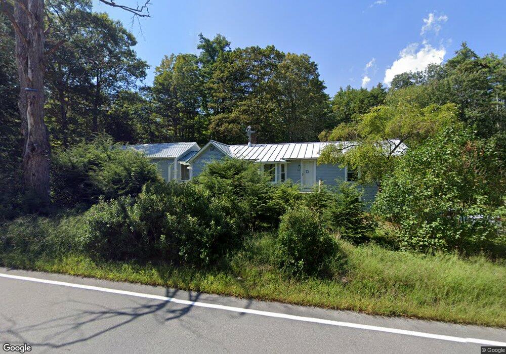
1046 New Hampton Rd Sanbornton, NH 03269
Sanbornton NeighborhoodEstimated Value: $485,000 - $577,000
4
Beds
3
Baths
2,559
Sq Ft
$211/Sq Ft
Est. Value
About This Home
This home is located at 1046 New Hampton Rd, Sanbornton, NH 03269 and is currently estimated at $539,312, approximately $210 per square foot. 1046 New Hampton Rd is a home located in Belknap County with nearby schools including Sanbornton Central School, Winnisquam Regional Middle School, and Winnisquam Regional High School.
Ownership History
Date
Name
Owned For
Owner Type
Purchase Details
Closed on
Jan 26, 2001
Sold by
Hand David H and Hand Helen H
Bought by
Reichstein Kenneth J
Current Estimated Value
Home Financials for this Owner
Home Financials are based on the most recent Mortgage that was taken out on this home.
Original Mortgage
$110,400
Outstanding Balance
$40,803
Interest Rate
7.39%
Estimated Equity
$498,509
Create a Home Valuation Report for This Property
The Home Valuation Report is an in-depth analysis detailing your home's value as well as a comparison with similar homes in the area
Home Values in the Area
Average Home Value in this Area
Purchase History
| Date | Buyer | Sale Price | Title Company |
|---|---|---|---|
| Reichstein Kenneth J | $138,000 | -- |
Source: Public Records
Mortgage History
| Date | Status | Borrower | Loan Amount |
|---|---|---|---|
| Open | Reichstein Kenneth J | $110,400 |
Source: Public Records
Tax History Compared to Growth
Tax History
| Year | Tax Paid | Tax Assessment Tax Assessment Total Assessment is a certain percentage of the fair market value that is determined by local assessors to be the total taxable value of land and additions on the property. | Land | Improvement |
|---|---|---|---|---|
| 2024 | $5,968 | $465,900 | $175,000 | $290,900 |
| 2023 | $5,609 | $465,900 | $175,000 | $290,900 |
| 2022 | $5,772 | $290,500 | $120,000 | $170,500 |
| 2021 | $4,501 | $244,900 | $120,000 | $124,900 |
| 2020 | $2,458 | $244,900 | $120,000 | $124,900 |
| 2019 | $4,707 | $244,900 | $120,000 | $124,900 |
| 2018 | $176 | $244,900 | $120,000 | $124,900 |
| 2017 | $3,696 | $156,400 | $55,900 | $100,500 |
| 2016 | $229 | $156,400 | $55,900 | $100,500 |
| 2015 | $3,801 | $158,300 | $55,900 | $102,400 |
| 2014 | $3,636 | $158,300 | $55,900 | $102,400 |
| 2013 | $3,636 | $158,300 | $55,900 | $102,400 |
Source: Public Records
Map
Nearby Homes
- 0 Perley Hill Rd Unit 85
- 724 Sanborn Rd
- 0 Mountain Rd Unit 5064513
- 314 Stage Rd
- 0 Gulf Rd Unit 33 5061892
- 100 Cram Rd
- 42 Hermit Lake Rd
- 7 Simmons Ct
- 00 Patriot Ln Unit 1
- 00 Hueber Dr
- 118 Upper Bay Rd
- 251 Hill Rd
- 21 Mountain View Dr
- 9 Aspen Rd
- R02-13 Calef Hill Rd
- 225 Kendall St
- 92 Leavitt Rd
- 36 New Rd
- 12 Foothills Way
- 208 Sanborn St
- 1030 New Hampton Rd
- 1055 New Hampton Rd
- 1033 New Hampton Rd
- 1064 New Hampton Rd
- 1020 New Hampton Rd
- 1066 New Hampton Rd
- 1021 New Hampton Rd
- 1031 New Hampton Rd
- 1081 New Hampton Rd
- 1000 New Hampton Rd
- 1112 New Hampton Rd
- 1119 New Hampton Rd
- 976 New Hampton Rd
- 1126 New Hampton Rd
- 181 Johnson Rd
- 7 Tilton Bridge Rd
- 1146 New Hampton Rd
- 178 Johnson Rd
- 1133 New Hampton Rd
- 1150 New Hampton Rd