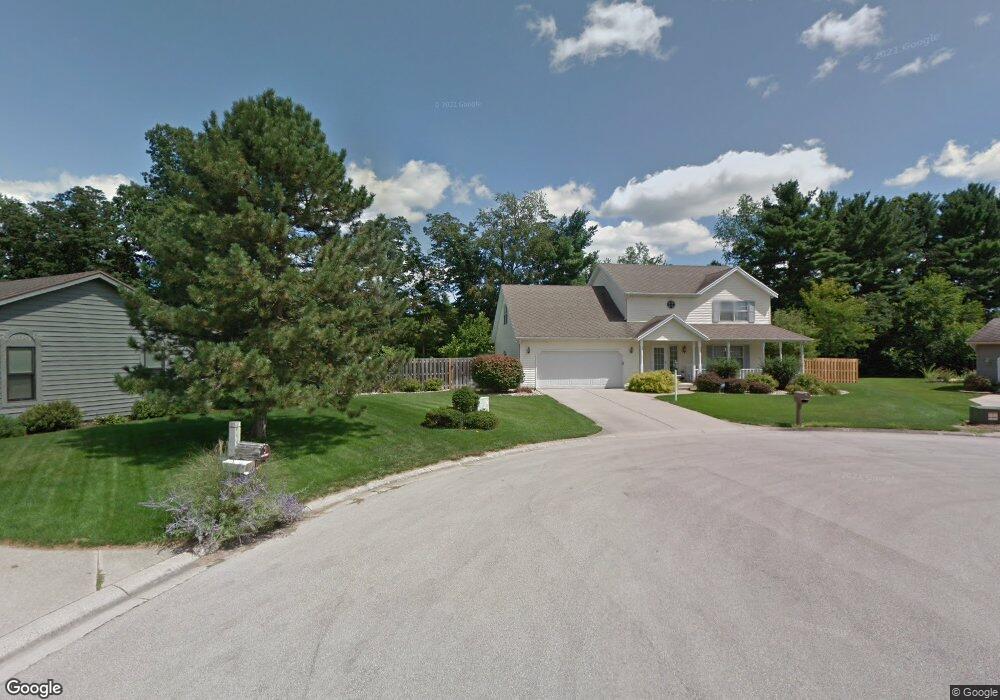
10460 Covey Ct Granger, IN 46530
Estimated Value: $411,000 - $432,000
4
Beds
3
Baths
2,288
Sq Ft
$184/Sq Ft
Est. Value
About This Home
This home is located at 10460 Covey Ct, Granger, IN 46530 and is currently estimated at $420,934, approximately $183 per square foot. 10460 Covey Ct is a home located in St. Joseph County with nearby schools including Horizon Elementary School, Discovery Middle School, and Penn High School.
Ownership History
Date
Name
Owned For
Owner Type
Purchase Details
Closed on
Aug 27, 2015
Sold by
Madias John Theodore and Madias Kathleen Leslie
Bought by
Madias Trust
Current Estimated Value
Purchase Details
Closed on
May 15, 2015
Sold by
Madias John Theodore and Madias Kathleen Leslie
Bought by
Madias Trust
Create a Home Valuation Report for This Property
The Home Valuation Report is an in-depth analysis detailing your home's value as well as a comparison with similar homes in the area
Home Values in the Area
Average Home Value in this Area
Purchase History
| Date | Buyer | Sale Price | Title Company |
|---|---|---|---|
| Madias Trust | -- | -- | |
| Madias Trust | -- | -- |
Source: Public Records
Tax History Compared to Growth
Tax History
| Year | Tax Paid | Tax Assessment Tax Assessment Total Assessment is a certain percentage of the fair market value that is determined by local assessors to be the total taxable value of land and additions on the property. | Land | Improvement |
|---|---|---|---|---|
| 2024 | $3,135 | $369,100 | $65,200 | $303,900 |
| 2023 | $3,092 | $341,800 | $64,500 | $277,300 |
| 2022 | $3,319 | $329,800 | $64,500 | $265,300 |
| 2021 | $2,980 | $276,800 | $32,600 | $244,200 |
| 2020 | $2,757 | $262,700 | $32,400 | $230,300 |
| 2019 | $2,730 | $257,200 | $31,100 | $226,100 |
| 2018 | $2,460 | $237,200 | $28,000 | $209,200 |
| 2017 | $2,451 | $233,900 | $28,000 | $205,900 |
| 2016 | $2,417 | $231,200 | $28,000 | $203,200 |
| 2014 | $2,175 | $201,900 | $24,500 | $177,400 |
| 2013 | $2,414 | $209,500 | $24,500 | $185,000 |
Source: Public Records
Map
Nearby Homes
- 10700 Adams Rd
- 50920 Northbrook Shores Dr
- 50590 Deer Ridge Ct
- 50633 Weeping Willow Run W
- 10080 Pemburry Dr
- 51401 Hunters Crossing Ct
- 50778 Brownstone Dr
- 11070 Birch Lake Dr
- 50630 Mohawk Dr
- 71599 State Line Rd
- 71353 State Line Rd
- 50590 Tecumseh Dr
- 50975 Cobus Ridge Ln
- 10824 Anderson Rd
- 71116 Meadow Dr
- 50533 Cobus Ridge Ln
- 26356 Redfield St
- 25590 Redfield St
- 11487 Wilkins Mill Dr
- 71287 M 62
- 10475 Covey Ct
- 10474 Covey Ct
- 10375 Adams Rd
- 10501 Covey Ct
- 10500 Covey Ct
- 50900 Pheasant Cove Dr
- 50882 Pheasant Cove Dr
- 50860 Pheasant Cove Dr
- 50963 Pheasant Cove Dr
- 50941 Pheasant Cove Dr
- 50981 Pheasant Cove Dr
- 50919 Pheasant Cove Dr
- 10530 Red Pine Dr
- 50850 Pheasant Cove Dr
- 50855 Pheasant Cove Dr
- 10525 Adams Rd
- 10557 Adams Rd
- 10560 Red Pine Dr
- 50830 Pheasant Cove Dr
- 10525 Red Pine Dr