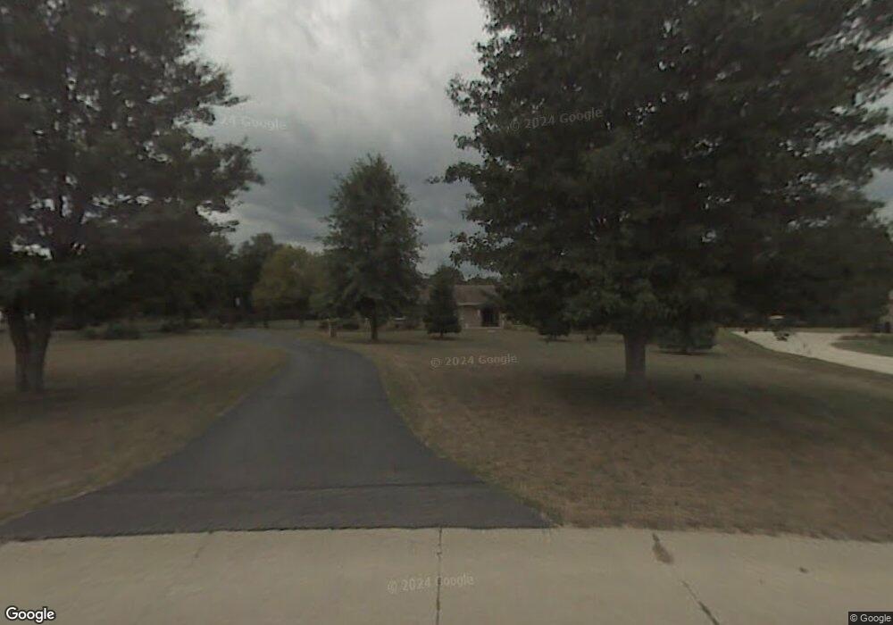
10467 Farmland Dr Harrison, OH 45030
Estimated Value: $421,000 - $449,000
3
Beds
2
Baths
1,931
Sq Ft
$226/Sq Ft
Est. Value
About This Home
This home is located at 10467 Farmland Dr, Harrison, OH 45030 and is currently estimated at $436,900, approximately $226 per square foot. 10467 Farmland Dr is a home located in Hamilton County with nearby schools including William Henry Harrison High School, St. John The Baptist School, and Summit Academy of Southwest Ohio.
Ownership History
Date
Name
Owned For
Owner Type
Purchase Details
Closed on
Apr 19, 2024
Sold by
Mary Carolyn Oberschlake Trust and Oberschlake Mary Carolyn
Bought by
Acra Family Preservation Trust and Acra
Current Estimated Value
Purchase Details
Closed on
Jul 15, 2011
Sold by
Oberschlake Richard C and Oberschlake Mary C
Bought by
Oberschlake Mary Carolyn and Mary Carolyn Oberschlake Trust
Purchase Details
Closed on
May 23, 2011
Sold by
Oberschlake Richard C and Oberschlake Mary C
Bought by
Oberschlake Mary Carolyn and Mary Carolyn Oberschlake Trust
Create a Home Valuation Report for This Property
The Home Valuation Report is an in-depth analysis detailing your home's value as well as a comparison with similar homes in the area
Home Values in the Area
Average Home Value in this Area
Purchase History
| Date | Buyer | Sale Price | Title Company |
|---|---|---|---|
| Acra Family Preservation Trust | $435,000 | Prodigy Title | |
| Oberschlake Mary Carolyn | -- | Attorney | |
| Oberschlake Mary Carolyn | -- | Attorney |
Source: Public Records
Tax History Compared to Growth
Tax History
| Year | Tax Paid | Tax Assessment Tax Assessment Total Assessment is a certain percentage of the fair market value that is determined by local assessors to be the total taxable value of land and additions on the property. | Land | Improvement |
|---|---|---|---|---|
| 2024 | $4,381 | $123,341 | $17,924 | $105,417 |
| 2023 | $4,664 | $123,341 | $17,924 | $105,417 |
| 2022 | $3,781 | $93,731 | $19,282 | $74,449 |
| 2021 | $3,734 | $93,731 | $19,282 | $74,449 |
| 2020 | $3,774 | $93,731 | $19,282 | $74,449 |
| 2019 | $3,443 | $82,947 | $17,063 | $65,884 |
| 2018 | $3,464 | $82,947 | $17,063 | $65,884 |
| 2017 | $3,233 | $82,947 | $17,063 | $65,884 |
| 2016 | $2,743 | $78,215 | $16,723 | $61,492 |
| 2015 | $2,778 | $78,215 | $16,723 | $61,492 |
| 2014 | $2,788 | $78,215 | $16,723 | $61,492 |
| 2013 | $2,877 | $79,811 | $17,063 | $62,748 |
Source: Public Records
Map
Nearby Homes
- 10190 Baughman Rd
- 10390 Short Rd
- 607 Laura Ct
- 326 Rawling Dr
- 1539 Sefton Dr
- 9439 Tebbs Ct
- 323 Rawling Dr
- 10885 Mockernut Dr
- 10461 Deertrail Dr
- 1531 Barben Ct
- 8972 Camberley St
- 0 Carolina Trace Rd Unit 1840792
- 1528 Fairchild Dr
- 360 Miami Trace
- 1499 Deters Dr
- 214 Hickory Ct
- 1155 South Branch
- 314 Country View Dr
- acres Edgewood Rd
- 1253 Trailhead Place
- 10481 Farmland Dr
- 10453 Farmland Dr
- 10434 Sugardale St
- 10495 Farmland Dr
- 10420 Sugardale St
- 10448 Sugardale St
- 10439 Farmland Dr
- 10440 Farmland Dr
- 10462 Sugardale St
- 10406 Sugardale St
- 10496 Farmland Dr
- 10509 Farmland Dr
- 10425 Farmland Dr
- 10490 Sugardale St
- 10433 Sugardale St
- 10510 Farmland Dr
- 10420 Farmland Dr
- 10419 Sugardale St
- 10405 Sugardale St
- 10447 Sugardale St
