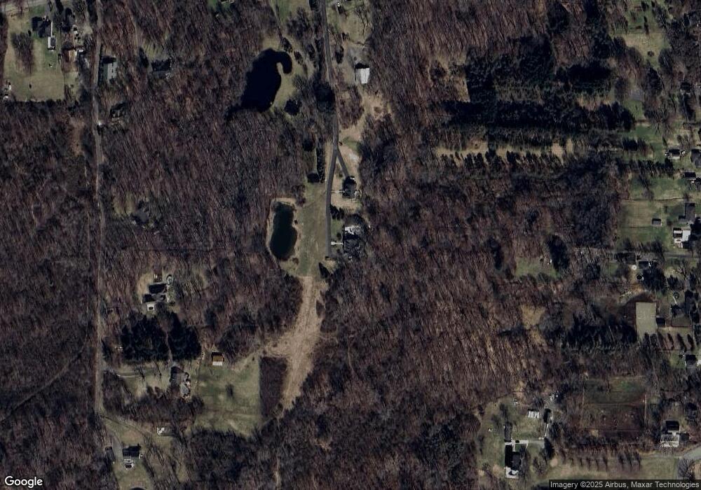
10467 Tillman Rd Clarence, NY 14031
Estimated Value: $812,000 - $1,170,000
4
Beds
3
Baths
3,965
Sq Ft
$243/Sq Ft
Est. Value
About This Home
This home is located at 10467 Tillman Rd, Clarence, NY 14031 and is currently estimated at $965,305, approximately $243 per square foot. 10467 Tillman Rd is a home located in Erie County with nearby schools including Harris Hill Elementary School, Clarence Middle School, and Clarence Senior High School.
Ownership History
Date
Name
Owned For
Owner Type
Purchase Details
Closed on
Aug 6, 2020
Sold by
Chopko Michael S
Bought by
Chopko Michael S and Chopko Ashley
Current Estimated Value
Home Financials for this Owner
Home Financials are based on the most recent Mortgage that was taken out on this home.
Original Mortgage
$510,400
Outstanding Balance
$358,365
Interest Rate
2.5%
Mortgage Type
New Conventional
Estimated Equity
$606,940
Purchase Details
Closed on
Jan 20, 2016
Sold by
Strollo Nina M
Bought by
Chopko Michael S
Purchase Details
Closed on
Sep 5, 2014
Sold by
Tinkey Calvin C and Tinkey Patience Lynne
Bought by
Chopko Michael S and Strollo Nina M
Home Financials for this Owner
Home Financials are based on the most recent Mortgage that was taken out on this home.
Original Mortgage
$380,000
Interest Rate
3.26%
Mortgage Type
New Conventional
Create a Home Valuation Report for This Property
The Home Valuation Report is an in-depth analysis detailing your home's value as well as a comparison with similar homes in the area
Home Values in the Area
Average Home Value in this Area
Purchase History
| Date | Buyer | Sale Price | Title Company |
|---|---|---|---|
| Chopko Michael S | -- | First American Title | |
| Chopko Michael S | -- | None Available | |
| Chopko Michael S | $564,000 | None Available |
Source: Public Records
Mortgage History
| Date | Status | Borrower | Loan Amount |
|---|---|---|---|
| Open | Chopko Michael S | $510,400 | |
| Previous Owner | Chopko Michael S | $380,000 |
Source: Public Records
Tax History Compared to Growth
Tax History
| Year | Tax Paid | Tax Assessment Tax Assessment Total Assessment is a certain percentage of the fair market value that is determined by local assessors to be the total taxable value of land and additions on the property. | Land | Improvement |
|---|---|---|---|---|
| 2024 | -- | $893,000 | $116,000 | $777,000 |
| 2023 | $12,291 | $600,000 | $95,500 | $504,500 |
| 2022 | $12,147 | $600,000 | $95,500 | $504,500 |
| 2021 | $4,499 | $600,000 | $95,500 | $504,500 |
| 2020 | $12,518 | $564,000 | $56,300 | $507,700 |
| 2019 | $13,049 | $564,000 | $56,300 | $507,700 |
| 2018 | $4,891 | $564,000 | $56,300 | $507,700 |
| 2017 | $4,891 | $564,000 | $56,300 | $507,700 |
| 2016 | $4,891 | $564,000 | $56,300 | $507,700 |
| 2015 | -- | $564,000 | $56,300 | $507,700 |
| 2014 | -- | $425,000 | $56,300 | $368,700 |
Source: Public Records
Map
Nearby Homes
- 4100 Ransom Rd
- 0 Jones Rd Unit B1637455
- 4505 Timberlake Dr
- 4535 Ransom Rd
- 5583 Genesee St
- 4455 Shisler Rd
- 6 Valley Overlook Dr
- 4619 Pine Manor
- 1207 Ransom Rd
- 4765 Shisler Rd
- 9780 Wehrle Dr
- 3457 Town Line Rd
- 4883 Winding Ln
- 9808 Tottenham Ave
- 5201 Kandefer's Trail
- v/l Sorellina Ln S
- 1480 Town Line Rd
- 4100 Gunnville Rd
- 10912 Main St
- 6265 Salt Rd
- 10471 Tillman Rd
- 10455 Tillman Rd
- 10365 Tillman Rd
- 10361 Tillman Rd
- 10367 Tillman Rd
- 4160 Ransom Rd
- 10475 Tillman Rd
- 4000 Ransom Rd
- 10373 Tillman Rd
- 10435 Tillman Rd
- 10357 Tillman Rd
- 4110 Ransom Rd
- 10369 Tillman Rd
- 10693 Jones Rd
- 10470 Tillman Rd
- 4130 Ransom Rd
- 4120 Ransom Rd
- 10490 Tillman Rd
- 4070 Ransom Rd
- 4140 Ransom Rd
