1047 Platt Ln NE Townsend, GA 31331
Estimated Value: $413,000 - $480,000
3
Beds
3
Baths
1,821
Sq Ft
$242/Sq Ft
Est. Value
About This Home
This home is located at 1047 Platt Ln NE, Townsend, GA 31331 and is currently estimated at $440,361, approximately $241 per square foot. 1047 Platt Ln NE is a home with nearby schools including Todd Grant Elementary School, McIntosh County Middle School, and McIntosh County Academy.
Ownership History
Date
Name
Owned For
Owner Type
Purchase Details
Closed on
May 10, 1990
Bought by
Gandy Edward K
Current Estimated Value
Create a Home Valuation Report for This Property
The Home Valuation Report is an in-depth analysis detailing your home's value as well as a comparison with similar homes in the area
Purchase History
| Date | Buyer | Sale Price | Title Company |
|---|---|---|---|
| Gandy Edward K | $75,000 | -- |
Source: Public Records
Tax History
| Year | Tax Paid | Tax Assessment Tax Assessment Total Assessment is a certain percentage of the fair market value that is determined by local assessors to be the total taxable value of land and additions on the property. | Land | Improvement |
|---|---|---|---|---|
| 2024 | $4,216 | $146,480 | $45,000 | $101,480 |
| 2023 | $4,150 | $143,600 | $45,000 | $98,600 |
| 2022 | $3,707 | $127,680 | $45,000 | $82,680 |
| 2021 | $2,972 | $111,840 | $45,000 | $66,840 |
| 2020 | $3,176 | $107,360 | $45,000 | $62,360 |
| 2019 | $806 | $103,680 | $45,000 | $58,680 |
| 2018 | $2,653 | $99,840 | $45,000 | $54,840 |
| 2017 | $2,988 | $99,840 | $45,000 | $54,840 |
| 2016 | $2,408 | $99,840 | $45,000 | $54,840 |
| 2015 | $2,132 | $75,262 | $30,000 | $45,262 |
| 2014 | -- | $75,262 | $30,000 | $45,262 |
Source: Public Records
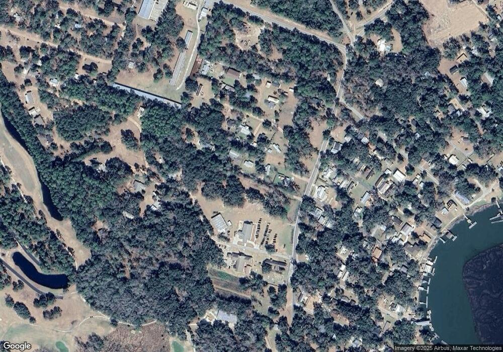
Map
Nearby Homes
- 1321 Shell Point Rd NE
- 0 Pelican Perch Rd
- 1214 Shell Point Rd NE
- 1106 Shell Point Rd NE
- 2050 Belle Hammock Rd NE
- 3558 Belle Hammock Rd NE
- 1057 Shell Point Rd NE
- 1065 Fiddler Trace NE
- 1056 Fiddler Trace NE
- 1088 Fiddler Trace NE
- LOT 230 Coopers Landind Dr NE
- 1215 Fiddler Trace NE
- 3217 Coopers Point Dr NE
- 3308 Fair Hope Rd NE
- 1356 Fiddler Trace NE
- Lot 231 Coopers Landing Dr NE
- 3538 Belle Hammock Rd
- 1143 Fiddler Crab Dr
- 1111 Fiddler Crab Dr
- Lot 221 Eagle Way NE
- 1014 Platt Ln NE
- 1039 Platt Ln NE
- 1392 Shell Point Rd NE
- 1338 Shell Point Rd NE
- 1424 Shell Point Rd NE
- 1421 Shell Point Rd NE
- 1442 Shell Point Rd NE
- 1351 Shell Point Rd NE
- 1446 Shell Point Rd NE
- 1447 Shell Point Rd NE
- 0 Shell Point Rd
- 1478 Shell Point Rd NE
- 1298 Shell Point Rd NE
- Lot 15 Pelican Perch Dr
- 1481 Shell Point Rd NE
- 0 Pelicans Perch Unit LOT 57 3167626
- 0 Pelicans Perch Unit LOT 56 3167625
- 0 Pelicans Perch Unit LOT 49 3167613
- 0 Pelicans Perch Unit LOT 48 3167611
- 0 Pelicans Perch Unit LOT 37 3167610
Your Personal Tour Guide
Ask me questions while you tour the home.