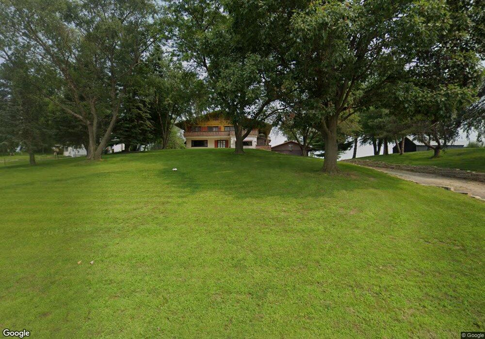
1048 Pershing Rd Maquoketa, IA 52060
Estimated Value: $441,201 - $642,000
5
Beds
5
Baths
2,998
Sq Ft
$170/Sq Ft
Est. Value
About This Home
This home is located at 1048 Pershing Rd, Maquoketa, IA 52060 and is currently estimated at $510,067, approximately $170 per square foot. 1048 Pershing Rd is a home with nearby schools including Cardinal Elementary School, Briggs Elementary School, and Maquoketa Middle School.
Ownership History
Date
Name
Owned For
Owner Type
Purchase Details
Closed on
Jul 11, 2007
Sold by
Estate Of Marianne Nelles
Bought by
Nelles Peter F and Nelles Kelly L
Current Estimated Value
Home Financials for this Owner
Home Financials are based on the most recent Mortgage that was taken out on this home.
Original Mortgage
$160,000
Outstanding Balance
$100,887
Interest Rate
6.76%
Mortgage Type
Future Advance Clause Open End Mortgage
Estimated Equity
$409,180
Create a Home Valuation Report for This Property
The Home Valuation Report is an in-depth analysis detailing your home's value as well as a comparison with similar homes in the area
Home Values in the Area
Average Home Value in this Area
Purchase History
| Date | Buyer | Sale Price | Title Company |
|---|---|---|---|
| Nelles Peter F | $200,000 | None Available |
Source: Public Records
Mortgage History
| Date | Status | Borrower | Loan Amount |
|---|---|---|---|
| Open | Nelles Peter F | $160,000 |
Source: Public Records
Tax History Compared to Growth
Tax History
| Year | Tax Paid | Tax Assessment Tax Assessment Total Assessment is a certain percentage of the fair market value that is determined by local assessors to be the total taxable value of land and additions on the property. | Land | Improvement |
|---|---|---|---|---|
| 2025 | $4,934 | $442,700 | $42,100 | $400,600 |
| 2024 | $4,934 | $427,000 | $40,600 | $386,400 |
| 2023 | $4,822 | $427,000 | $40,600 | $386,400 |
| 2022 | $4,046 | $311,800 | $40,600 | $271,200 |
| 2021 | $3,894 | $311,800 | $40,600 | $271,200 |
| 2020 | $3,894 | $289,400 | $36,500 | $252,900 |
| 2019 | $3,882 | $289,400 | $0 | $0 |
| 2018 | $3,756 | $289,400 | $0 | $0 |
| 2017 | $3,556 | $263,000 | $0 | $0 |
| 2016 | $3,488 | $263,000 | $0 | $0 |
| 2015 | $3,488 | $263,000 | $0 | $0 |
| 2014 | $3,642 | $263,000 | $0 | $0 |
Source: Public Records
Map
Nearby Homes
- 1044 Pershing Rd
- 1056 Pershing Rd
- 1076 Pershing Rd
- 1032 Pershing Rd
- 1078 Pershing Rd
- 1001 Pershing Rd
- 1013 Cardinal Dr
- 1011 Cardinal Dr
- 1009 Cardinal Dr
- 915 Pershing Rd
- 1005 Cardinal Dr
- 916 Lisa Dr
- 1003 Cardinal Dr
- 914 Lisa Dr
- 917 Lisa Dr
- 911 Pershing Rd
- 1027 E Grove St
- 3252 213th Ave
- 915 Lisa Dr
- 1004 Cardinal Dr