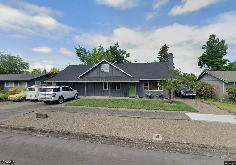
1048 Randall St Eugene, OR 97401
Harlow NeighborhoodEstimated Value: $501,000 - $614,000
5
Beds
2
Baths
2,300
Sq Ft
$246/Sq Ft
Est. Value
About This Home
This home is located at 1048 Randall St, Eugene, OR 97401 and is currently estimated at $566,869, approximately $246 per square foot. 1048 Randall St is a home located in Lane County with nearby schools including Holt Elementary School, Monroe Middle School, and Sheldon High School.
Ownership History
Date
Name
Owned For
Owner Type
Purchase Details
Closed on
Feb 14, 2017
Sold by
Tabor Griffin Cris A
Bought by
Williams Malachi W and Mcmahon Cortney Blake
Current Estimated Value
Home Financials for this Owner
Home Financials are based on the most recent Mortgage that was taken out on this home.
Original Mortgage
$373,807
Interest Rate
4.16%
Mortgage Type
VA
Purchase Details
Closed on
Jul 5, 2006
Sold by
Dayton Michael W and Dayton Debra A
Bought by
Tabor Griffin Cris A
Create a Home Valuation Report for This Property
The Home Valuation Report is an in-depth analysis detailing your home's value as well as a comparison with similar homes in the area
Home Values in the Area
Average Home Value in this Area
Purchase History
| Date | Buyer | Sale Price | Title Company |
|---|---|---|---|
| Williams Malachi W | $365,940 | First American Title | |
| Tabor Griffin Cris A | $318,000 | First American Title |
Source: Public Records
Mortgage History
| Date | Status | Borrower | Loan Amount |
|---|---|---|---|
| Previous Owner | Williams Malachi W | $373,807 |
Source: Public Records
Tax History
| Year | Tax Paid | Tax Assessment Tax Assessment Total Assessment is a certain percentage of the fair market value that is determined by local assessors to be the total taxable value of land and additions on the property. | Land | Improvement |
|---|---|---|---|---|
| 2025 | $5,286 | $271,304 | -- | -- |
| 2024 | $5,220 | $263,402 | -- | -- |
| 2023 | $5,220 | $255,731 | $0 | $0 |
| 2022 | $4,890 | $248,283 | $0 | $0 |
| 2021 | $4,593 | $241,052 | $0 | $0 |
| 2020 | $4,610 | $234,032 | $0 | $0 |
| 2019 | $4,452 | $227,216 | $0 | $0 |
| 2018 | $4,191 | $214,174 | $0 | $0 |
| 2017 | $4,002 | $214,174 | $0 | $0 |
| 2016 | $3,808 | $207,936 | $0 | $0 |
| 2015 | $3,660 | $201,880 | $0 | $0 |
| 2014 | $3,606 | $196,000 | $0 | $0 |
Source: Public Records
Map
Nearby Homes
- 860 N van Duyn St
- 3025 Bailey Ln
- 1038 President St
- 825 Waverly St
- 2872 Suffolk Ct
- 1271 Arcadia Dr
- 1491 Victorian Way
- 0 Sprig Ln Unit Lot 3
- 0 Sprig Ln Unit Lot 3 766109892
- 3700 Babcock Ln Unit 119
- 3700 Babcock Ln Unit 106
- 950 Coburg Rd
- 2746 Harlow Rd
- 2994 Dapple Way
- 3090 Willakenzie Rd
- 1564 Regency Dr
- 600 Cherry Dr Unit 8
- 600 Cherry Dr Unit 3
- 1090 Corydon St
- 2355 Pioneer Pike
Your Personal Tour Guide
Ask me questions while you tour the home.