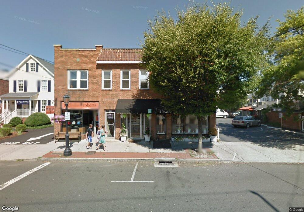
1049 Post Rd Darien, CT 06820
Estimated Value: $3,134,266
3
Beds
1
Bath
9,576
Sq Ft
$327/Sq Ft
Est. Value
About This Home
This home is located at 1049 Post Rd, Darien, CT 06820 and is currently estimated at $3,134,266, approximately $327 per square foot. 1049 Post Rd is a home located in Fairfield County with nearby schools including Royle Elementary School, Middlesex Middle School, and Darien High School.
Ownership History
Date
Name
Owned For
Owner Type
Purchase Details
Closed on
Dec 23, 2013
Sold by
Cook Sharon and Dirienzo Toni
Bought by
Eld Street Properties
Current Estimated Value
Home Financials for this Owner
Home Financials are based on the most recent Mortgage that was taken out on this home.
Original Mortgage
$1,275,000
Interest Rate
4.15%
Mortgage Type
Commercial
Create a Home Valuation Report for This Property
The Home Valuation Report is an in-depth analysis detailing your home's value as well as a comparison with similar homes in the area
Home Values in the Area
Average Home Value in this Area
Purchase History
| Date | Buyer | Sale Price | Title Company |
|---|---|---|---|
| Eld Street Properties | $1,675,000 | -- |
Source: Public Records
Mortgage History
| Date | Status | Borrower | Loan Amount |
|---|---|---|---|
| Closed | Eld Street Properties | $1,275,000 | |
| Previous Owner | Eld Street Properties | $230,000 |
Source: Public Records
Tax History
| Year | Tax Paid | Tax Assessment Tax Assessment Total Assessment is a certain percentage of the fair market value that is determined by local assessors to be the total taxable value of land and additions on the property. | Land | Improvement |
|---|---|---|---|---|
| 2025 | $19,981 | $1,290,730 | $775,880 | $514,850 |
| 2024 | $18,961 | $1,290,730 | $775,880 | $514,850 |
| 2023 | $20,547 | $1,166,760 | $705,320 | $461,440 |
| 2022 | $20,103 | $1,166,760 | $705,320 | $461,440 |
| 2021 | $6,719 | $1,166,760 | $705,320 | $461,440 |
| 2020 | $19,088 | $1,166,760 | $705,320 | $461,440 |
| 2019 | $19,217 | $1,166,760 | $705,320 | $461,440 |
| 2018 | $4,113 | $1,114,610 | $705,320 | $409,290 |
| 2017 | $6,774 | $1,106,980 | $705,320 | $401,660 |
| 2016 | $17,457 | $1,106,980 | $705,320 | $401,660 |
| 2015 | $16,992 | $1,106,980 | $705,320 | $401,660 |
| 2014 | $16,616 | $1,106,980 | $705,320 | $401,660 |
Source: Public Records
Map
Nearby Homes
- 20 Locust Hill Rd
- 2 Settlers Trail Unit 2
- 10 Stony Brook Rd
- 18 Winding Ln
- 6 Ward Ln Unit 6
- 5 Shields Ln
- 19 Circle Rd
- 10 Cross Rd
- 223 Middlesex Rd
- 3 Revere Rd
- 18 Tokeneke Trail
- 14 5 Mile River Rd
- 32 Relihan Rd
- 171 Raymond St
- 2 Red Rose Cir
- 77 Maple St
- 29 Richmond Dr
- 166 Hollow Tree Ridge Rd
- 167 Hollow Tree Ridge Rd
- 3 Salt Box Ln E
- 1049 Post Rd Unit 4
- 21 Grove St
- 21 Grove St Unit 1st Floor
- 21 Grove St Unit up
- 21 Grove St Unit 2ndflr
- 5 Brook St Unit 2D
- 5 Brook St Unit 2C
- 5 Brook St Unit 2B
- 5 Brook St
- 5 Brook #2c St
- 1031 Post Rd
- 16 Brook St
- 170 Withheld St
- 1077 Post Rd Unit 2
- 1077 Post Rd
- 1077 Post Rd Unit 1
- 1077 Boston Post Rd Unit 4
- 1077 Boston Post Rd Unit 3
- 1077 Boston Post Rd Unit 2
- 1077 Boston Post Rd Unit 1
Your Personal Tour Guide
Ask me questions while you tour the home.