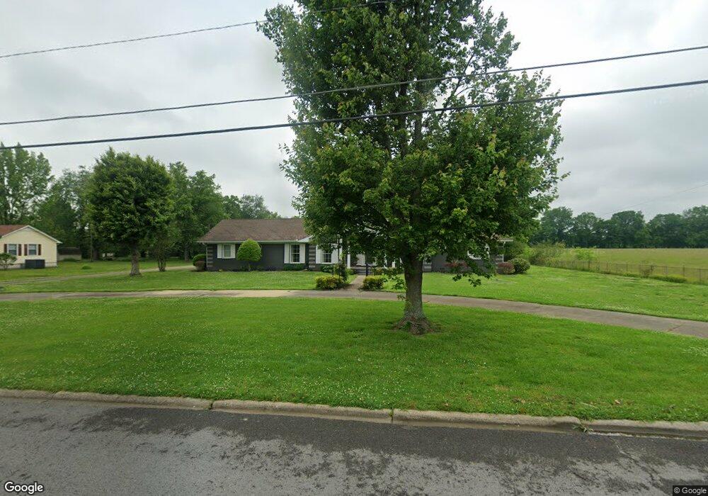
105 Ashwood Dr Shelbyville, TN 37160
Estimated Value: $349,056 - $447,000
--
Bed
2
Baths
2,556
Sq Ft
$160/Sq Ft
Est. Value
About This Home
This home is located at 105 Ashwood Dr, Shelbyville, TN 37160 and is currently estimated at $410,014, approximately $160 per square foot. 105 Ashwood Dr is a home located in Bedford County with nearby schools including East Side Elementary School, Harris Middle School, and Christian Chapel Academy.
Ownership History
Date
Name
Owned For
Owner Type
Purchase Details
Closed on
Oct 22, 2002
Sold by
Smith Harold & Lisa Trust
Bought by
Wilson James D and Wilson Melissa
Current Estimated Value
Home Financials for this Owner
Home Financials are based on the most recent Mortgage that was taken out on this home.
Original Mortgage
$146,905
Outstanding Balance
$61,098
Interest Rate
6.18%
Estimated Equity
$348,916
Purchase Details
Closed on
Jul 14, 2000
Sold by
Smith Harold D
Bought by
Wright Terry L
Purchase Details
Closed on
Jul 29, 1998
Sold by
Smith Harold D
Bought by
Smith Living Trust
Purchase Details
Closed on
Apr 24, 1990
Bought by
Smith Harold D and Smith Doris L
Purchase Details
Closed on
Aug 21, 1979
Bought by
Smith James E and Smith Rosalee
Create a Home Valuation Report for This Property
The Home Valuation Report is an in-depth analysis detailing your home's value as well as a comparison with similar homes in the area
Home Values in the Area
Average Home Value in this Area
Purchase History
| Date | Buyer | Sale Price | Title Company |
|---|---|---|---|
| Wilson James D | $150,000 | -- | |
| Wright Terry L | -- | -- | |
| Smith Living Trust | -- | -- | |
| Smith Harold D | $80,000 | -- | |
| Smith James E | -- | -- |
Source: Public Records
Mortgage History
| Date | Status | Borrower | Loan Amount |
|---|---|---|---|
| Open | Smith James E | $146,905 |
Source: Public Records
Tax History Compared to Growth
Tax History
| Year | Tax Paid | Tax Assessment Tax Assessment Total Assessment is a certain percentage of the fair market value that is determined by local assessors to be the total taxable value of land and additions on the property. | Land | Improvement |
|---|---|---|---|---|
| 2025 | -- | $66,350 | $0 | $0 |
| 2024 | -- | $66,350 | $9,400 | $56,950 |
| 2023 | $2,525 | $66,350 | $9,400 | $56,950 |
| 2022 | $2,598 | $66,350 | $9,400 | $56,950 |
| 2021 | $2,359 | $66,350 | $9,400 | $56,950 |
| 2020 | $1,892 | $66,350 | $9,400 | $56,950 |
| 2019 | $1,892 | $42,700 | $5,700 | $37,000 |
| 2018 | $1,849 | $42,700 | $5,700 | $37,000 |
| 2017 | $1,849 | $42,700 | $5,700 | $37,000 |
| 2016 | $1,832 | $42,700 | $5,700 | $37,000 |
| 2015 | $1,832 | $42,700 | $5,700 | $37,000 |
| 2014 | $1,593 | $40,649 | $0 | $0 |
Source: Public Records
Map
Nearby Homes
- 1615 Elevation ABC Plan at Wheatfield
- 1567 Elevation ABC Plan at Wheatfield
- 225 Republic St
- 227 Republic St
- 1030 Union St
- 119 Millet St
- 122 Laurelwood Dr
- 232 Republic St
- 407 Dow Dr
- 226 Republic St
- 228 Republic St
- 118 Millet St
- 223 Megan Cir
- 229 Millet St
- 402 Rose Ln
- 410 Dover St
- 101 Briar Patch Dr
- 309 Honeysuckle Ln
- 111 Parker Rd
- 603 Tines Dr
- 103 Ashwood Dr
- 108 Ashwood Dr
- 202 Oakwood Dr
- 200 Oakwood Dr
- 106 Ashwood Dr
- 400 Cloverdale Rd
- 104 Ashwood Dr
- 100 Oakwood Dr
- 205 Woodmont Dr
- 402 Cloverdale Rd
- 206 Woodmont Dr
- 306 Cloverdale Rd
- 203 Oakwood Dr
- 201 Oakwood Dr
- 304 Cloverdale Rd
- 203 Woodmont Dr
- 204 Woodmont Dr
- 401 Cloverdale Rd
- 103 Oakwood Dr
- 403 Cloverdale Rd