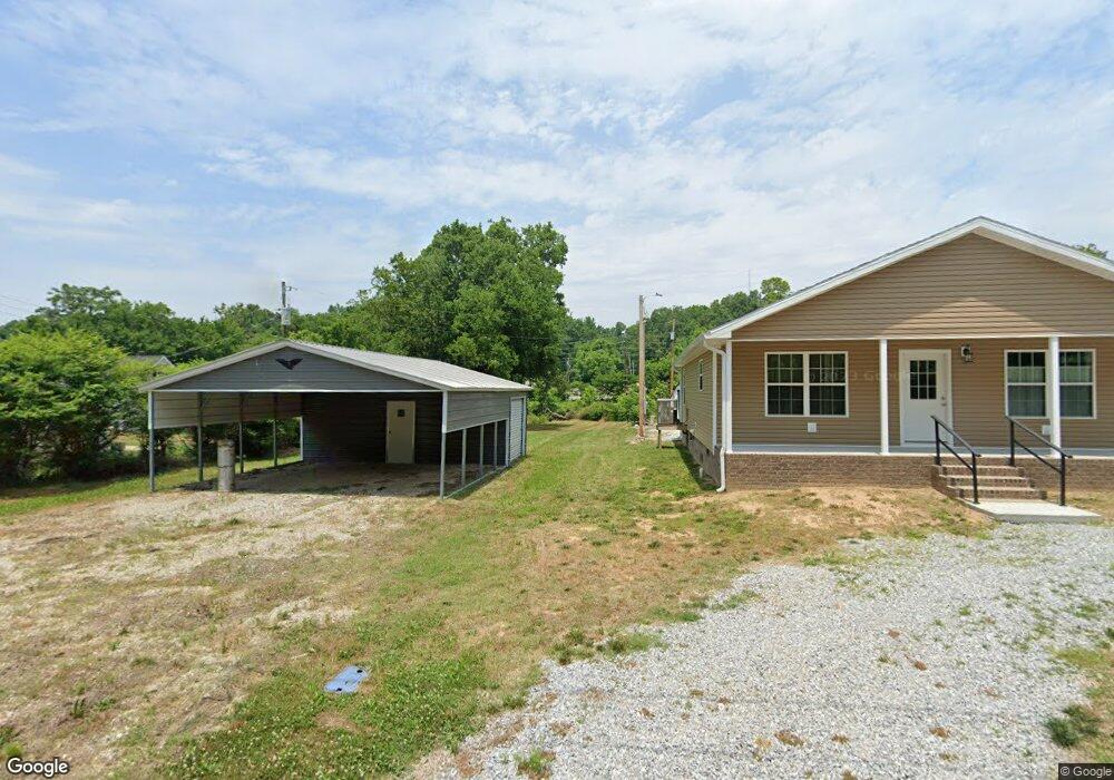
105 Daniel St Waverly, TN 37185
Estimated Value: $63,548 - $208,000
Studio
--
Bath
--
Sq Ft
11,064
Sq Ft Lot
About This Home
This home is located at 105 Daniel St, Waverly, TN 37185 and is currently estimated at $135,637. 105 Daniel St is a home located in Humphreys County.
Ownership History
Date
Name
Owned For
Owner Type
Purchase Details
Closed on
Jun 10, 2009
Sold by
Lee Brian Keith
Bought by
Gilmore Edward Bruce
Current Estimated Value
Purchase Details
Closed on
May 14, 2007
Sold by
Lance Mcelroy Clyde
Bought by
Keith Lee Brian
Purchase Details
Closed on
Jan 28, 2004
Sold by
Citifinancial Mortgage
Bought by
Mcelroy Clyde L
Purchase Details
Closed on
Sep 18, 2003
Sold by
Pickard and Sub
Bought by
Citifinancial Mortgage
Purchase Details
Closed on
Nov 1, 2000
Bought by
Pickard Tim and Pickard Marla Mayberry
Purchase Details
Closed on
Jun 1, 2000
Sold by
Hans Deichman
Bought by
Ronald Buchanon
Purchase Details
Closed on
May 22, 1995
Bought by
Deichman Hans and Deichman Anne
Purchase Details
Closed on
Nov 19, 1993
Bought by
Griffith Jessica W and Griffith Jonathan L
Purchase Details
Closed on
May 29, 1992
Bought by
Brown Mavis Louise
Purchase Details
Closed on
Aug 26, 1946
Bought by
Alley Wilburn Garland and Alley Ozelle
Create a Home Valuation Report for This Property
The Home Valuation Report is an in-depth analysis detailing your home's value as well as a comparison with similar homes in the area
Home Values in the Area
Average Home Value in this Area
Purchase History
| Date | Buyer | Sale Price | Title Company |
|---|---|---|---|
| Gilmore Edward Bruce | $10,000 | -- | |
| Keith Lee Brian | $8,500 | -- | |
| Mcelroy Clyde L | $8,500 | -- | |
| Citifinancial Mortgage | $15,000 | -- | |
| Pickard Tim | $31,300 | -- | |
| Ronald Buchanon | $14,000 | -- | |
| Deichman Hans | -- | -- | |
| Griffith Jessica W | -- | -- | |
| Brown Mavis Louise | -- | -- | |
| Alley Wilburn Garland | -- | -- |
Source: Public Records
Tax History
| Year | Tax Paid | Tax Assessment Tax Assessment Total Assessment is a certain percentage of the fair market value that is determined by local assessors to be the total taxable value of land and additions on the property. | Land | Improvement |
|---|---|---|---|---|
| 2025 | $74 | $2,450 | $1,675 | $775 |
| 2024 | $75 | $2,450 | $1,675 | $775 |
| 2023 | $75 | $2,450 | $1,675 | $775 |
| 2022 | $73 | $2,275 | $1,475 | $800 |
| 2021 | $63 | $1,475 | $1,475 | $0 |
| 2020 | $73 | $2,275 | $1,475 | $800 |
| 2019 | $48 | $1,450 | $1,450 | $0 |
| 2018 | $48 | $1,450 | $1,450 | $0 |
| 2017 | $48 | $1,450 | $1,450 | $0 |
| 2016 | $52 | $1,450 | $1,450 | $0 |
| 2015 | $52 | $1,450 | $1,450 | $0 |
| 2014 | $52 | $1,461 | $0 | $0 |
Source: Public Records
Map
Nearby Homes
- 312 N Maple Ave
- 375 Highway 13 N
- 221 Carroll Ave
- 202 E Richland Ave
- 0 Bear Hollow Dr Unit 120
- 0 Bear Hollow Dr Unit RTC2747935
- 212 E Main St
- 102 N Cooley Ave
- 120 Joe St
- 311 E Main St
- 317 E Main St
- 780 Highway 13 N
- 128 Washington Cir
- 206 Joe St
- 101 Simpson Ave
- 437 W Main St
- 0 Hwy 13 N Unit RTC2991975
- 0 Matthews Hollow Rd
- 105 Hillwood Dr
- 424 E Commerce St
Your Personal Tour Guide
Ask me questions while you tour the home.