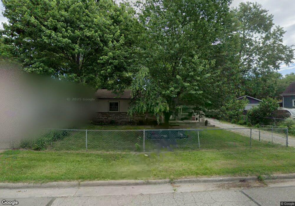
105 Devonshire St Ypsilanti, MI 48198
Estimated Value: $189,487 - $240,000
3
Beds
1
Bath
1,008
Sq Ft
$218/Sq Ft
Est. Value
About This Home
This home is located at 105 Devonshire St, Ypsilanti, MI 48198 and is currently estimated at $219,372, approximately $217 per square foot. 105 Devonshire St is a home located in Washtenaw County with nearby schools including Global Tech Academy and Huron Valley Catholic School.
Ownership History
Date
Name
Owned For
Owner Type
Purchase Details
Closed on
Nov 13, 1999
Sold by
Edwards Laura
Bought by
Clafton June M
Current Estimated Value
Purchase Details
Closed on
Apr 29, 1996
Sold by
Byrd Ricky L
Bought by
Lane Laura Edwards and Lane Eugene M
Home Financials for this Owner
Home Financials are based on the most recent Mortgage that was taken out on this home.
Original Mortgage
$63,650
Interest Rate
7.78%
Mortgage Type
New Conventional
Create a Home Valuation Report for This Property
The Home Valuation Report is an in-depth analysis detailing your home's value as well as a comparison with similar homes in the area
Home Values in the Area
Average Home Value in this Area
Purchase History
| Date | Buyer | Sale Price | Title Company |
|---|---|---|---|
| Clafton June M | $97,000 | -- | |
| Lane Laura Edwards | $67,000 | -- |
Source: Public Records
Mortgage History
| Date | Status | Borrower | Loan Amount |
|---|---|---|---|
| Previous Owner | Lane Laura Edwards | $63,650 |
Source: Public Records
Tax History
| Year | Tax Paid | Tax Assessment Tax Assessment Total Assessment is a certain percentage of the fair market value that is determined by local assessors to be the total taxable value of land and additions on the property. | Land | Improvement |
|---|---|---|---|---|
| 2025 | $1,244 | $100,700 | $0 | $0 |
| 2024 | $1,210 | $84,300 | $0 | $0 |
| 2023 | $1,322 | $78,000 | $0 | $0 |
| 2022 | $1,261 | $78,200 | $0 | $0 |
| 2021 | $1,967 | $71,900 | $0 | $0 |
| 2020 | $1,943 | $56,500 | $0 | $0 |
| 2019 | $727 | $47,700 | $47,700 | $0 |
| 2018 | $0 | $33,000 | $0 | $0 |
| 2017 | $1,700 | $31,000 | $0 | $0 |
| 2016 | $1,062 | $30,591 | $0 | $0 |
| 2015 | $1,619 | $30,500 | $0 | $0 |
| 2014 | $1,619 | $30,400 | $0 | $0 |
| 2013 | -- | $30,400 | $0 | $0 |
Source: Public Records
Map
Nearby Homes
- 211 Devonshire St
- 339 Ohio St
- 298 Oregon St
- 270 Ohio St
- 2750 E Michigan Ave
- 435 E Grand Blvd
- 322 S Harris Rd
- 24 Broadmoor
- 2237 Parkwood Ave
- VACANT Ecorse Rd
- 90 Burbank Ave
- 429 S Harris Rd
- 490 Greenlawn St
- 633 Fox Ave
- 672 Nash Ave
- 717 E Grand Blvd
- 720 Calder Ave
- 808 Lamay Ave
- 540 Kennedy Ave
- 660 Greenlawn St
- 99 Devonshire St
- 113 Devonshire St
- 97 Devonshire St
- 130 Oregon St
- 117 Devonshire St
- 124 Oregon St
- 118 Oregon St
- 95 Devonshire St
- 121 Devonshire St
- 148 Oregon St
- 100 Devonshire St
- 93 Devonshire St
- 112 Oregon St
- 112 Devonshire St
- 98 Devonshire St
- 106 Oregon St
- 89 Devonshire St
- 123 Devonshire St
- 120 Devonshire St
- 94 Devonshire St
Your Personal Tour Guide
Ask me questions while you tour the home.