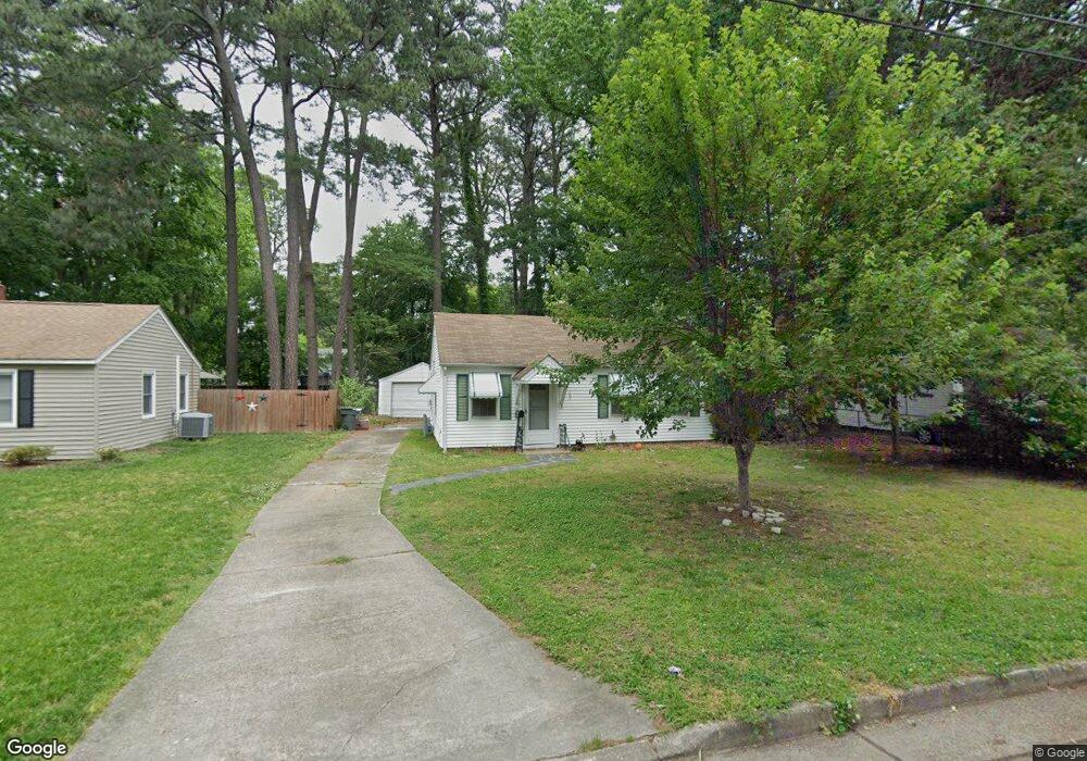
105 Forrest St Hampton, VA 23669
Willow Oaks NeighborhoodEstimated Value: $197,000 - $225,000
3
Beds
1
Bath
1,000
Sq Ft
$214/Sq Ft
Est. Value
About This Home
This home is located at 105 Forrest St, Hampton, VA 23669 and is currently estimated at $213,512, approximately $213 per square foot. 105 Forrest St is a home located in Hampton City with nearby schools including Albert W. Patrick III Elementary School, Benjamin Syms Middle School, and Kecoughtan High School.
Ownership History
Date
Name
Owned For
Owner Type
Purchase Details
Closed on
Aug 19, 2002
Sold by
Flowers George T
Bought by
Rosenbaum Neal A
Current Estimated Value
Home Financials for this Owner
Home Financials are based on the most recent Mortgage that was taken out on this home.
Original Mortgage
$48,000
Outstanding Balance
$19,812
Interest Rate
6.61%
Estimated Equity
$193,700
Purchase Details
Closed on
Jul 27, 2001
Sold by
Spencer Harry Edward
Bought by
Flowers George T
Create a Home Valuation Report for This Property
The Home Valuation Report is an in-depth analysis detailing your home's value as well as a comparison with similar homes in the area
Home Values in the Area
Average Home Value in this Area
Purchase History
| Date | Buyer | Sale Price | Title Company |
|---|---|---|---|
| Rosenbaum Neal A | $48,000 | -- | |
| Flowers George T | $60,000 | -- |
Source: Public Records
Mortgage History
| Date | Status | Borrower | Loan Amount |
|---|---|---|---|
| Open | Rosenbaum Neal A | $48,000 |
Source: Public Records
Tax History
| Year | Tax Paid | Tax Assessment Tax Assessment Total Assessment is a certain percentage of the fair market value that is determined by local assessors to be the total taxable value of land and additions on the property. | Land | Improvement |
|---|---|---|---|---|
| 2025 | $2,091 | $188,900 | $50,000 | $138,900 |
| 2024 | $1,733 | $150,700 | $50,000 | $100,700 |
| 2023 | $1,469 | $126,600 | $50,000 | $76,600 |
| 2022 | $1,355 | $114,800 | $45,000 | $69,800 |
| 2021 | $1,441 | $105,700 | $40,000 | $65,700 |
| 2020 | $1,254 | $101,100 | $30,000 | $71,100 |
| 2019 | $1,254 | $101,100 | $30,000 | $71,100 |
| 2018 | $1,300 | $100,700 | $30,000 | $70,700 |
| 2017 | $1,343 | $0 | $0 | $0 |
| 2016 | $1,343 | $100,700 | $0 | $0 |
| 2015 | $1,253 | $0 | $0 | $0 |
| 2014 | $1,263 | $93,500 | $30,000 | $63,500 |
Source: Public Records
Map
Nearby Homes
- 12 Kingslee Ln
- 201 Shawen Dr
- 16 Riverchase Dr
- 105 Glenwood Rd
- 2 Boeing Ave
- 312 Shawen Dr
- 69 W Little Back River Rd
- 19 Michele Dr
- 67 W Little Back River Rd
- 7 White Oak Trail
- 35 Westover St
- 111 Boeing Ave
- 400 Cedar Dr
- 312 Nelson Pkwy
- 1263 N King St
- 15 King Kove Ln
- 135 Roland Dr
- 161 Chickamauga Pike
- 23 Long Bridge Rd
- 1563 N King St Unit 114
- 107 Forrest St
- 103 Forrest St
- 119 Forrest St
- 101 Forrest St
- 109 Forrest St
- 104 Lexington St
- 102 Lexington St
- 106 Lexington St
- 111 Forrest St
- 100 Lexington St
- 108 Lexington St
- 104 Forrest St
- 102 Forrest St
- 106 Forrest St
- 100 Forrest St
- 108 Forrest St
- 110 Lexington St
- 113 Forrest St
- 18 E Lamington Rd
- 110 Forrest St
Your Personal Tour Guide
Ask me questions while you tour the home.