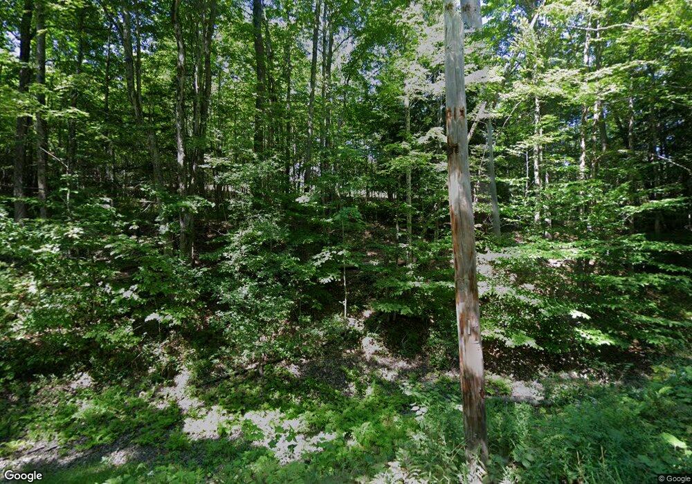
105 Gleason Rd Plainfield, NH 03781
Estimated Value: $289,000 - $401,000
2
Beds
1
Bath
1,598
Sq Ft
$227/Sq Ft
Est. Value
About This Home
This home is located at 105 Gleason Rd, Plainfield, NH 03781 and is currently estimated at $362,653, approximately $226 per square foot. 105 Gleason Rd is a home with nearby schools including Plainfield Elementary School, Lebanon High School, and Kimball Union Academy.
Ownership History
Date
Name
Owned For
Owner Type
Purchase Details
Closed on
Mar 1, 2023
Sold by
Quimby David W Est
Bought by
Thompson Maxwell and Young Cassandra
Current Estimated Value
Home Financials for this Owner
Home Financials are based on the most recent Mortgage that was taken out on this home.
Original Mortgage
$199,000
Outstanding Balance
$192,467
Interest Rate
5.88%
Mortgage Type
Purchase Money Mortgage
Estimated Equity
$170,186
Create a Home Valuation Report for This Property
The Home Valuation Report is an in-depth analysis detailing your home's value as well as a comparison with similar homes in the area
Home Values in the Area
Average Home Value in this Area
Purchase History
| Date | Buyer | Sale Price | Title Company |
|---|---|---|---|
| Thompson Maxwell | $239,000 | None Available |
Source: Public Records
Mortgage History
| Date | Status | Borrower | Loan Amount |
|---|---|---|---|
| Open | Thompson Maxwell | $199,000 |
Source: Public Records
Tax History
| Year | Tax Paid | Tax Assessment Tax Assessment Total Assessment is a certain percentage of the fair market value that is determined by local assessors to be the total taxable value of land and additions on the property. | Land | Improvement |
|---|---|---|---|---|
| 2023 | $5,659 | $359,300 | $158,100 | $201,200 |
| 2022 | $5,199 | $208,800 | $73,500 | $135,300 |
| 2021 | $5,544 | $208,800 | $73,500 | $135,300 |
| 2020 | $5,304 | $208,800 | $73,500 | $135,300 |
| 2019 | $5,429 | $208,800 | $73,500 | $135,300 |
| 2018 | $5,617 | $208,800 | $73,500 | $135,300 |
| 2017 | $5,444 | $192,700 | $72,700 | $120,000 |
| 2016 | $5,463 | $192,700 | $72,700 | $120,000 |
| 2015 | $5,251 | $192,700 | $72,700 | $120,000 |
| 2014 | $5,299 | $192,700 | $72,700 | $120,000 |
| 2013 | $5,299 | $192,700 | $72,700 | $120,000 |
Source: Public Records
Map
Nearby Homes
- 0 3.3 Bean Rd
- 0 3.2 Bean Rd
- 0 Camp Rd Unit 7
- 00 Whitaker Rd
- 345 Leavitt Hill Rd
- 22 King Dr
- 00 Willow Brook Rd Unit 5
- 00 Willow Brook Rd
- 1041 Stage Rd
- 8 Laclair Dr
- 386 Methodist Hill Rd
- 94 Porter Rd
- 155 Top O World Rd
- 266 Poverty Ln Unit 1A
- 295 Frye Ln
- 00 Route 10 N
- 1284 Route 10 N
- 28 Old Spring Dr
- 321 Meriden Rd
- 64 High Pond Rd
- 130 Gleason Rd
- 123 Gleason Rd
- 102 Grantham Mtn Rd
- 92 Grantham Mtn Rd
- 62 Grantham Mtn Rd
- 121 Grantham Mtn Rd
- 205 Grantham Mountain Rd
- 160 Grantham Mtn Rd
- 89 Gleason Rd
- 52 Grantham Mtn Rd
- 149 Grantham Mtn Rd
- 186 Grantham Mountain Rd
- 171 Grantham Mtn Rd
- 72 Marsh Hill Rd
- 50 Marsh Hill Rd
- 146-A Bean Rd
- 75 Bean Rd
- 20 Grantham Mtn Rd
- 146a Bean Rd
- 146 Bean Rd
