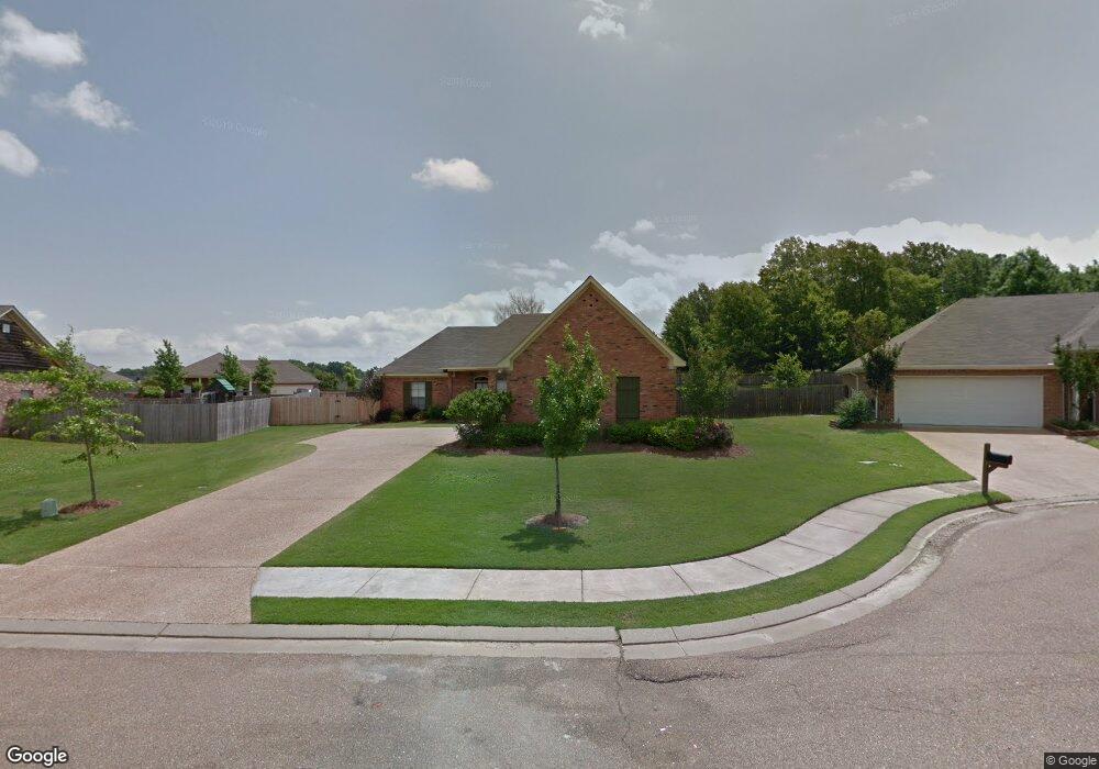
105 Laurel Ridge Rd Canton, MS 39046
Estimated Value: $248,545 - $268,000
3
Beds
2
Baths
1,638
Sq Ft
$159/Sq Ft
Est. Value
About This Home
This home is located at 105 Laurel Ridge Rd, Canton, MS 39046 and is currently estimated at $260,386, approximately $158 per square foot. 105 Laurel Ridge Rd is a home located in Madison County with nearby schools including Madison Crossing Elementary School, Germantown Middle School, and Germantown High School.
Ownership History
Date
Name
Owned For
Owner Type
Purchase Details
Closed on
Jan 17, 2025
Sold by
Rainy Lane Llc and Rainy Lane Farms Llc
Bought by
Cooley Charles Matthew and Cooley Emilee Farmer
Current Estimated Value
Purchase Details
Closed on
Aug 12, 2020
Sold by
Foil Gordon E and Foil Tara G
Bought by
Rainy Lane Llc
Purchase Details
Closed on
Dec 30, 2005
Sold by
Middleton Homes Llc
Bought by
Foil Gordon E and Foil Tara G
Create a Home Valuation Report for This Property
The Home Valuation Report is an in-depth analysis detailing your home's value as well as a comparison with similar homes in the area
Purchase History
| Date | Buyer | Sale Price | Title Company |
|---|---|---|---|
| Cooley Charles Matthew | -- | None Listed On Document | |
| Cooley Charles Matthew | -- | None Listed On Document | |
| Cooley Charles Matthew | -- | None Listed On Document | |
| Rainy Lane Llc | -- | None Available | |
| Foil Gordon E | -- | None Available |
Source: Public Records
Tax History
| Year | Tax Paid | Tax Assessment Tax Assessment Total Assessment is a certain percentage of the fair market value that is determined by local assessors to be the total taxable value of land and additions on the property. | Land | Improvement |
|---|---|---|---|---|
| 2025 | $2,537 | $24,708 | $0 | $0 |
| 2024 | $2,537 | $24,708 | $0 | $0 |
| 2023 | $2,537 | $24,708 | $0 | $0 |
| 2022 | $2,535 | $24,692 | $0 | $0 |
| 2021 | $1,295 | $23,765 | $0 | $0 |
| 2020 | $1,295 | $15,843 | $0 | $0 |
| 2019 | $1,295 | $15,843 | $0 | $0 |
| 2018 | $1,287 | $15,767 | $0 | $0 |
| 2017 | $1,263 | $15,523 | $0 | $0 |
| 2016 | $1,263 | $15,523 | $0 | $0 |
| 2015 | $1,201 | $15,523 | $0 | $0 |
| 2014 | $1,201 | $15,523 | $0 | $0 |
Source: Public Records
Map
Nearby Homes
- 182 Harvey Crossing
- 115 Harvey Cir
- 801 Planters Point Dr
- 708 Oak Trail
- 144 Porter Ridge Dr
- 803 Oak Trail
- 718 Honeysuckle Loop
- 517 Fawn Cove
- 538 S Deerfield Dr
- 902 Oak Trail
- 714 Honeysuckle Loop
- 212 Sweetbriar Cir
- 0 Yandell Rd Unit 4137043
- 414 Spike Ridge
- 115 Sweetbriar Ct
- 104 Beaver Bend
- 965 Yandell Rd
- 490 Yandell Rd
- 0 Cripple Creek Rd
- 108 Beaver Bend
- 107 Laurel Ridge Rd
- 101 Laurel Ridge Rd
- 144 Harvey Crossing
- 109 Laurel Ridge Rd
- 146 Harvey Crossing
- 106 Laurel Ridge Rd
- 108 Laurel Ridge Rd
- 104 Laurel Ridge Rd
- 100 W Elbridge Way
- 100 W Elbridge Way Unit WEST
- 148 Harvey Crossing
- 148 Harvey Crossing
- 100 Laurel Ridge Rd
- 0 Harvey Crossing Unit Lot 275 1176121
- 0 Harvey Crossing Unit Lot 275
- 127 Middle Field Dr
- 102 W Elbridge Way
- 102 Laurel Ridge Rd
- 125 Middle Field Dr
- 129 Middlefield Dr
Your Personal Tour Guide
Ask me questions while you tour the home.