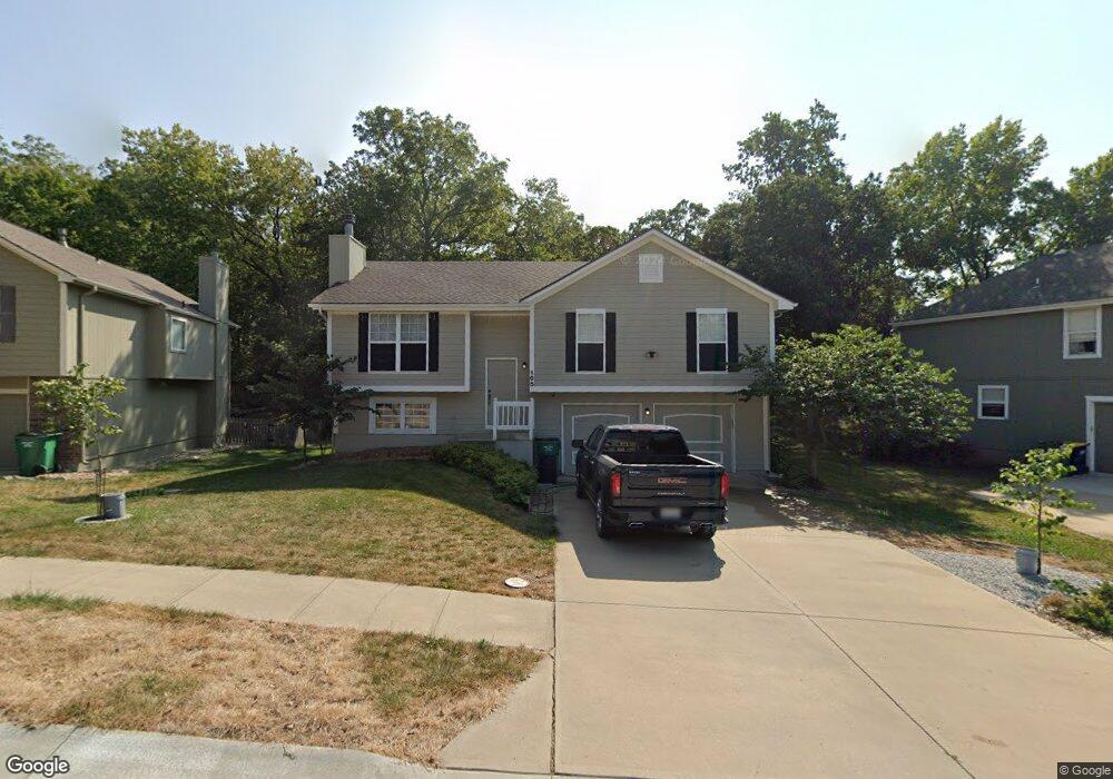
105 NW Cody Dr Lees Summit, MO 64081
Estimated Value: $318,231 - $400,000
3
Beds
3
Baths
1,204
Sq Ft
$285/Sq Ft
Est. Value
About This Home
This home is located at 105 NW Cody Dr, Lees Summit, MO 64081 and is currently estimated at $342,558, approximately $284 per square foot. 105 NW Cody Dr is a home located in Jackson County with nearby schools including Cedar Creek Elementary School, Pleasant Lea Middle School, and Lee's Summit Senior High School.
Ownership History
Date
Name
Owned For
Owner Type
Purchase Details
Closed on
Jul 21, 1998
Sold by
Sieg Anne M
Bought by
Sieg Dennis J
Current Estimated Value
Purchase Details
Closed on
Jan 10, 1996
Sold by
Summit Builders Inc
Bought by
Miller Enterprises Inc
Home Financials for this Owner
Home Financials are based on the most recent Mortgage that was taken out on this home.
Original Mortgage
$90,000
Interest Rate
7.14%
Mortgage Type
Purchase Money Mortgage
Create a Home Valuation Report for This Property
The Home Valuation Report is an in-depth analysis detailing your home's value as well as a comparison with similar homes in the area
Home Values in the Area
Average Home Value in this Area
Purchase History
We collect this data history from publicly available records. To have your information removed, we recommend requesting removal directly through your county’s website.
| Date | Buyer | Sale Price | Title Company |
|---|---|---|---|
| Sieg Dennis J | -- | -- | |
| Miller Enterprises Inc | -- | -- |
Source: Public Records
Mortgage History
We collect this data history from publicly available records. To have your information removed, we recommend requesting removal directly through your county’s website.
| Date | Status | Borrower | Loan Amount |
|---|---|---|---|
| Closed | Miller Enterprises Inc | $90,000 |
Source: Public Records
Tax History
| Year | Tax Paid | Tax Assessment Tax Assessment Total Assessment is a certain percentage of the fair market value that is determined by local assessors to be the total taxable value of land and additions on the property. | Land | Improvement |
|---|---|---|---|---|
| 2025 | $2,925 | $46,579 | $8,970 | $37,609 |
| 2024 | $2,903 | $40,504 | $6,418 | $34,086 |
| 2023 | $2,903 | $40,505 | $6,071 | $34,434 |
| 2022 | $2,914 | $36,100 | $3,877 | $32,223 |
| 2021 | $2,975 | $36,100 | $3,877 | $32,223 |
| 2020 | $2,867 | $34,452 | $3,877 | $30,575 |
| 2019 | $2,788 | $34,452 | $3,877 | $30,575 |
| 2018 | $2,615 | $29,984 | $3,374 | $26,610 |
| 2017 | $2,478 | $29,984 | $3,374 | $26,610 |
| 2016 | $2,478 | $28,120 | $3,914 | $24,206 |
| 2014 | $2,257 | $25,112 | $3,918 | $21,194 |
Source: Public Records
Map
Nearby Homes
- 2128 SW British Dr
- 2127 NW Killarney Ln
- 2123 NW Killarney Ln
- 319 NW Rockwood Ct
- 330 NW Ambersham Dr
- 2074 NW O'Brien Rd
- 416 NW Highcliffe Dr
- 2070 NW O'Brien Rd
- 2400 SW Wintercreek Ct
- 202 NW Ambersham Dr
- 601 SW Forestpark Ln
- 2110 NW Ashurst Dr
- 129 NW Morton Dr
- 704 SW Trailpark Ct
- 2634 SW Wintervalley Dr
- 100 SW Gray Cir
- 2404 SW Wintergreen Ct
- 2605 SW Winterview Cir
- 2635 NW Ashurst Ln
- 2648 NW Ashurst Ln
- 101 NW Cody Dr
- 113 NW Cody Dr
- 104 NW Cody Dr
- 112 NW Cody Dr
- 141 NW Whitlock Dr
- 137 NW Whitlock Dr
- 116 NW Cody Dr
- 117 NW Cody Dr
- 148 NW Whitlock Dr
- 152 NW Whitlock Dr
- 133 NW Whitlock Dr
- 144 NW Whitlock Dr
- 204 NW Whitlock Dr
- 120 NW Cody Dr
- 121 NW Cody Dr
- 217 NW Whitlock Dr
- 208 NW Whitlock Dr
- 129 NW Whitlock Dr
- 136 NW Whitlock Dr
- 124 NW Cody Dr
Your Personal Tour Guide
Ask me questions while you tour the home.