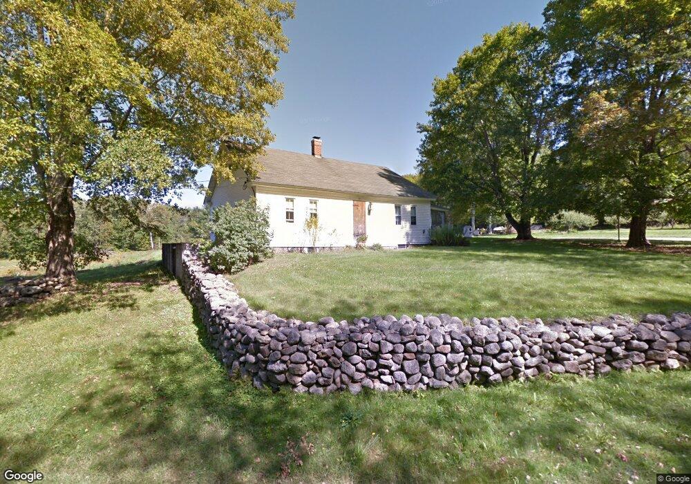
105 Wing Rd Allenstown, NH 03275
Estimated Value: $495,000 - $549,000
4
Beds
2
Baths
2,456
Sq Ft
$217/Sq Ft
Est. Value
About This Home
This home is located at 105 Wing Rd, Allenstown, NH 03275 and is currently estimated at $533,535, approximately $217 per square foot. 105 Wing Rd is a home located in Merrimack County with nearby schools including Allenstown Elementary School, Armand R. Dupont School, and Epsom Better Buddies.
Create a Home Valuation Report for This Property
The Home Valuation Report is an in-depth analysis detailing your home's value as well as a comparison with similar homes in the area
Home Values in the Area
Average Home Value in this Area
Tax History Compared to Growth
Tax History
| Year | Tax Paid | Tax Assessment Tax Assessment Total Assessment is a certain percentage of the fair market value that is determined by local assessors to be the total taxable value of land and additions on the property. | Land | Improvement |
|---|---|---|---|---|
| 2024 | $9,797 | $385,400 | $146,500 | $238,900 |
| 2023 | $8,170 | $385,400 | $146,500 | $238,900 |
| 2022 | $7,515 | $385,400 | $146,500 | $238,900 |
| 2021 | $7,692 | $244,200 | $95,400 | $148,800 |
| 2020 | $7,155 | $244,200 | $95,400 | $148,800 |
| 2019 | $7,595 | $244,200 | $95,400 | $148,800 |
| 2018 | $7,363 | $244,200 | $95,400 | $148,800 |
| 2017 | $7,841 | $244,200 | $95,400 | $148,800 |
| 2016 | $7,446 | $219,900 | $73,300 | $146,600 |
| 2015 | $7,219 | $219,900 | $73,300 | $146,600 |
| 2014 | $7,428 | $219,900 | $73,300 | $146,600 |
| 2013 | $6,933 | $219,900 | $73,300 | $146,600 |
Source: Public Records
Map
Nearby Homes
- 370 River Rd
- 14 Queens Ln
- 9 Princess Ln
- 6 Adams St
- 43 Catamount Hill Dr
- 8 Bush Ave
- 6 Jackson Ave
- 11 Presidential Dr
- 1 Jefferson Ave
- 5 Catamount Hill Dr
- 0 Poor Town Rd Unit 4
- 19 Silver Hill Dr
- 24 Towle Pasture Dr
- 243 Middle Rd
- 9 Pine Acres Rd
- 42 Windymere Dr
- 43 Black Hall Rd Unit A2
- 101 4th Range Rd Unit 4
- 20 Mountain Rd
- 1578 Dover Rd