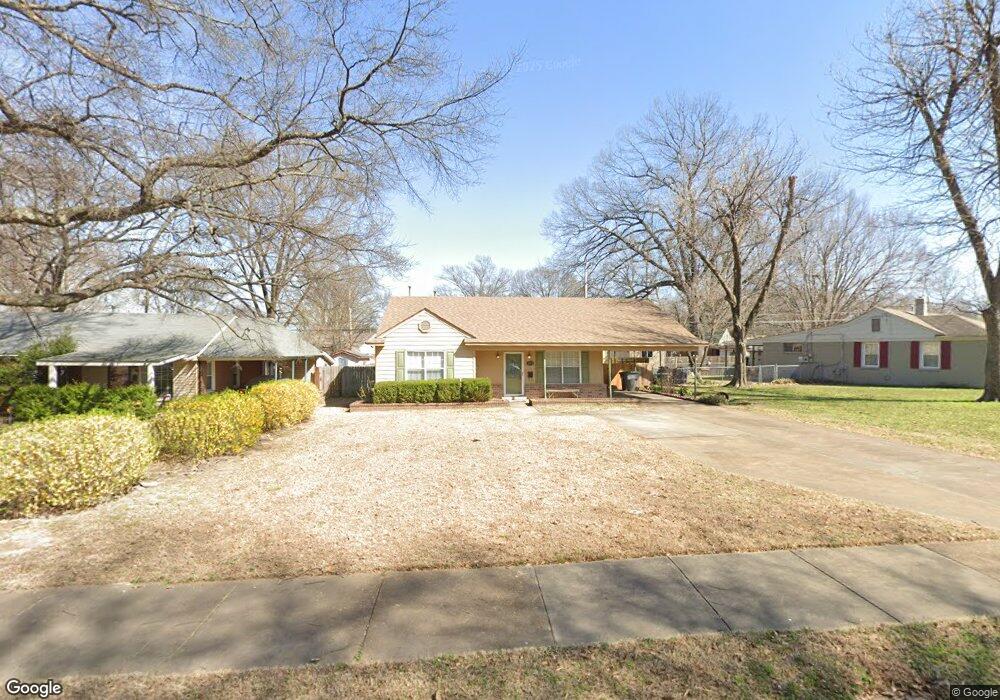
1050 Larry Ln Memphis, TN 38122
Berclair NeighborhoodEstimated Value: $143,000 - $183,000
2
Beds
2
Baths
1,290
Sq Ft
$123/Sq Ft
Est. Value
About This Home
This home is located at 1050 Larry Ln, Memphis, TN 38122 and is currently estimated at $158,466, approximately $122 per square foot. 1050 Larry Ln is a home located in Shelby County with nearby schools including Berclair Elementary School, Kingsbury High School, and Treadwell Middle School.
Ownership History
Date
Name
Owned For
Owner Type
Purchase Details
Closed on
Feb 19, 2020
Sold by
Milam Lisa C
Bought by
Cantrell Austin Cole and Cantrell Olivia Macy
Current Estimated Value
Home Financials for this Owner
Home Financials are based on the most recent Mortgage that was taken out on this home.
Original Mortgage
$88,000
Outstanding Balance
$77,918
Interest Rate
3.6%
Mortgage Type
New Conventional
Estimated Equity
$80,548
Purchase Details
Closed on
Apr 28, 2016
Sold by
Cannon Helen L
Bought by
Milam Lisa Cannon
Create a Home Valuation Report for This Property
The Home Valuation Report is an in-depth analysis detailing your home's value as well as a comparison with similar homes in the area
Home Values in the Area
Average Home Value in this Area
Purchase History
| Date | Buyer | Sale Price | Title Company |
|---|---|---|---|
| Cantrell Austin Cole | $110,000 | Realty Title | |
| Milam Lisa Cannon | -- | None Available |
Source: Public Records
Mortgage History
| Date | Status | Borrower | Loan Amount |
|---|---|---|---|
| Open | Cantrell Austin Cole | $88,000 |
Source: Public Records
Tax History
| Year | Tax Paid | Tax Assessment Tax Assessment Total Assessment is a certain percentage of the fair market value that is determined by local assessors to be the total taxable value of land and additions on the property. | Land | Improvement |
|---|---|---|---|---|
| 2025 | $898 | $36,925 | $5,250 | $31,675 |
| 2024 | $898 | $26,475 | $2,950 | $23,525 |
| 2023 | $1,613 | $26,475 | $2,950 | $23,525 |
| 2022 | $1,613 | $26,475 | $2,950 | $23,525 |
| 2021 | $1,632 | $26,475 | $2,950 | $23,525 |
| 2020 | $1,139 | $15,725 | $2,100 | $13,625 |
| 2019 | $503 | $15,725 | $2,100 | $13,625 |
| 2018 | $503 | $15,725 | $2,100 | $13,625 |
| 2017 | $513 | $15,725 | $2,100 | $13,625 |
| 2016 | $659 | $15,075 | $0 | $0 |
| 2014 | $659 | $15,075 | $0 | $0 |
Source: Public Records
Map
Nearby Homes
- 994 N Perkins Rd
- 1105 Stratford Rd
- 4580 Lawrence Rd
- 1043 Danita St
- 1042 Larue St
- 4672 Given Ave
- 4395 Ferndale Rd
- 4381 Janice Ave
- 860 Berclair Rd
- 4368 Macon Rd
- 4408 Jamerson Rd
- 4746 Violet Ave
- 1068 Buckner Rd
- 829 N Perkins Rd
- 823 Novarese Ave
- 943 Waring Rd
- 4745 Durbin Ave
- 4287 Elaine Ave
- 4816 Mccrory Ave
- 973 Bonnie St
- 1056 Larry Ln
- 1040 Larry Ln
- 1049 W Janice Cir
- 1062 Larry Ln
- 1053 W Janice Cir
- 1043 W Janice Cir
- 1051 Larry Ln
- 1066 Larry Ln
- 1055 Larry Ln
- 4532 Janice Ave
- 1061 Larry Ln
- 4576 N Janice Cir
- 1072 Larry Ln
- 4547 Janice Ave
- 4553 Janice Ave
- 4541 Janice Ave
- 1029 W Janice Cir
- 1071 Larry Ln
- 4514 Sandy Cove
- 1048 W Janice Cir
Your Personal Tour Guide
Ask me questions while you tour the home.