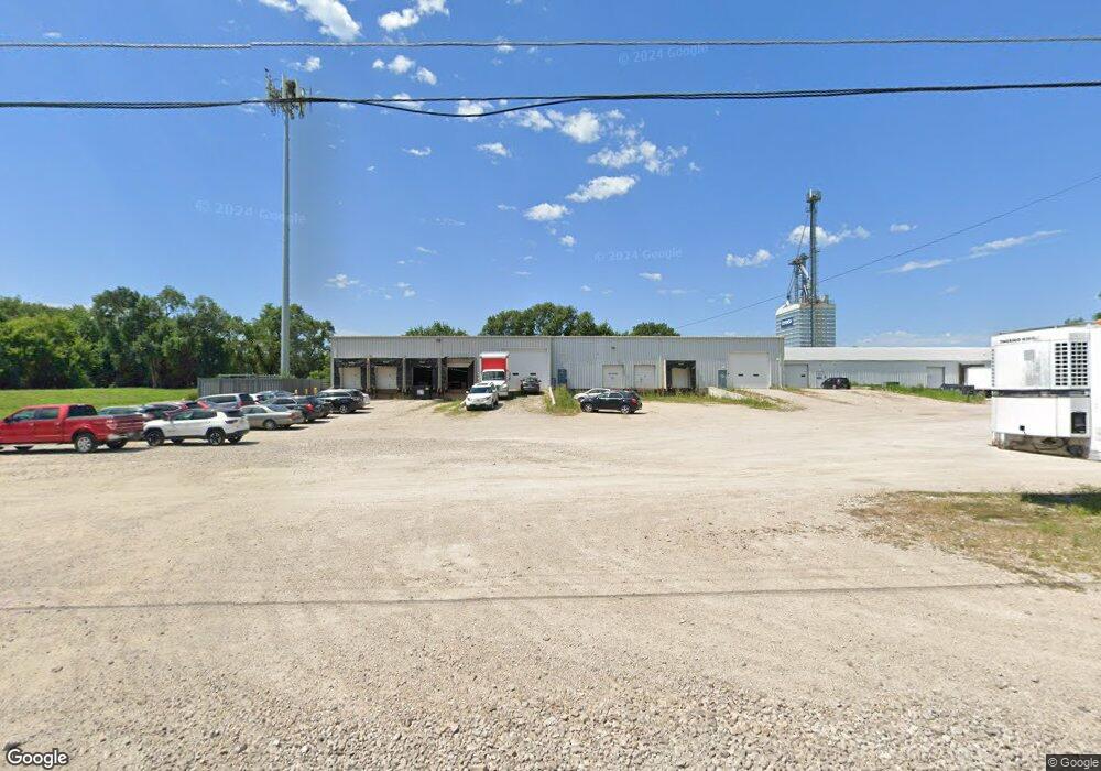
1050 Sheffield Ave Unit A Waterloo, IA 50702
Riverview Neighborhood
--
Bed
--
Bath
25,020
Sq Ft
2.91
Acres
About This Home
This home is located at 1050 Sheffield Ave Unit A, Waterloo, IA 50702. 1050 Sheffield Ave Unit A is a home located in Black Hawk County with nearby schools including Kittrell Elementary School, Hoover Middle School, and West High School.
Ownership History
Date
Name
Owned For
Owner Type
Purchase Details
Closed on
Aug 20, 2007
Sold by
Bankiowa
Bought by
Challenger Feeds Llc
Home Financials for this Owner
Home Financials are based on the most recent Mortgage that was taken out on this home.
Original Mortgage
$297,500
Outstanding Balance
$189,418
Interest Rate
6.77%
Mortgage Type
Future Advance Clause Open End Mortgage
Create a Home Valuation Report for This Property
The Home Valuation Report is an in-depth analysis detailing your home's value as well as a comparison with similar homes in the area
Home Values in the Area
Average Home Value in this Area
Purchase History
| Date | Buyer | Sale Price | Title Company |
|---|---|---|---|
| Challenger Feeds Llc | $350,000 | None Available | |
| Challenger Feeds Llc | $350,000 | None Available |
Source: Public Records
Mortgage History
| Date | Status | Borrower | Loan Amount |
|---|---|---|---|
| Open | Challenger Feeds Llc | $297,500 |
Source: Public Records
Tax History Compared to Growth
Tax History
| Year | Tax Paid | Tax Assessment Tax Assessment Total Assessment is a certain percentage of the fair market value that is determined by local assessors to be the total taxable value of land and additions on the property. | Land | Improvement |
|---|---|---|---|---|
| 2025 | $19,900 | $671,480 | $73,650 | $597,830 |
| 2024 | $19,900 | $554,410 | $73,650 | $480,760 |
| 2023 | $14,412 | $554,410 | $73,650 | $480,760 |
| 2022 | $13,326 | $457,380 | $73,650 | $383,730 |
| 2021 | $12,834 | $515,960 | $73,650 | $442,310 |
| 2020 | $12,482 | $515,960 | $73,650 | $442,310 |
| 2019 | $12,482 | $515,960 | $73,650 | $442,310 |
| 2018 | $11,056 | $515,960 | $73,650 | $442,310 |
| 2017 | $15,178 | $515,960 | $73,650 | $442,310 |
| 2016 | $15,352 | $515,960 | $73,650 | $442,310 |
| 2015 | $15,352 | $515,960 | $73,650 | $442,310 |
| 2014 | $11,316 | $373,100 | $73,650 | $299,450 |
Source: Public Records
Map
Nearby Homes
- 1309 Sheffield Ave
- 1933 Plymouth Ave
- 1832 Patton Ave
- 444 Gladys St
- 1739 Patton Ave
- 1742 Howard Ave
- 406-408 Gladys St
- 1664 Hawthorne Ave
- 1727 Forest Ave
- 5599 Washington St
- Lot 1 Crossroads Blvd
- Lot 4 Crossroads Blvd
- Lot 3 Crossroads Blvd
- 1642 Bertch Ave
- 1201 Lyon Ave
- 1240 Lyon Ave
- 1124 Oleson Rd
- 1445 Hammond Ave
- 47 Zuma St
- 1119 Kaplan Dr
- 1050 Sheffield Ave Unit D
- 1050 Sheffield Ave
- 1050 Sheffield Ave Unit C
- 1050 Sheffield Ave Unit B
- 1041 Sheffield Ave
- 1103 Sheffield Ave
- 1008 Sheffield Ave
- 1107 Sheffield Ave
- 1005 Sheffield Ave
- 1117 Sheffield Ave
- 950 Sheffield Ave
- 1139 Sheffield Ave
- 2612 Texas St
- 2201 Easton Ave
- 946 Lowell Ave
- 1204 Sheffield Ave
- 2035 E Mitchell Ave
- 1219 Sheffield Ave
- 924 Sheffield Ave
- 1106 Laporte Rd