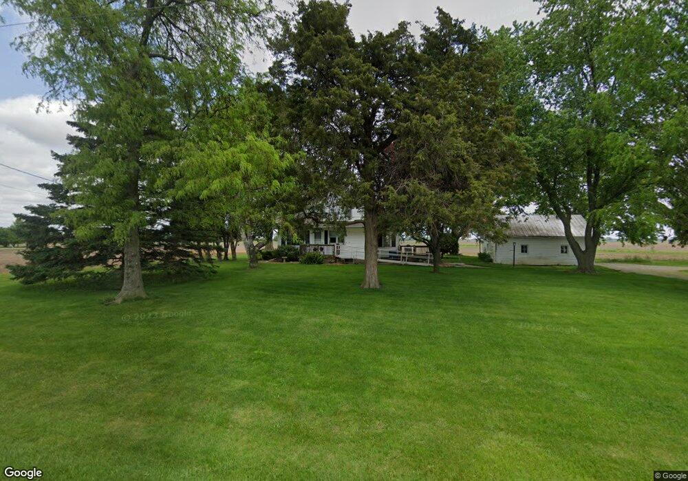
10503 Lortie Rd Monroeville, IN 46773
Estimated Value: $166,215 - $203,000
3
Beds
1
Bath
1,232
Sq Ft
$145/Sq Ft
Est. Value
About This Home
This home is located at 10503 Lortie Rd, Monroeville, IN 46773 and is currently estimated at $178,054, approximately $144 per square foot. 10503 Lortie Rd is a home located in Allen County with nearby schools including Heritage Junior/Senior High School and St Rose of Lima Catholic School.
Ownership History
Date
Name
Owned For
Owner Type
Purchase Details
Closed on
Jul 16, 2020
Sold by
Meyer Revocable Trust
Bought by
Meyer Robert K and Meyer Michael D
Current Estimated Value
Purchase Details
Closed on
Oct 15, 2004
Sold by
Meyer Robert W and Meyer Dorothy L
Bought by
Meyer Robert W and Meyer Dorothy L
Purchase Details
Closed on
Jun 21, 2004
Sold by
Meyer Robert W and Meyer Dorothy L
Bought by
Meyer Robert W and Meyer Dorothy L
Purchase Details
Closed on
Mar 8, 2001
Sold by
Meyer Robert W and Meyer Dorothy L
Bought by
Meyer Robert W and Meyer Dorothy L
Create a Home Valuation Report for This Property
The Home Valuation Report is an in-depth analysis detailing your home's value as well as a comparison with similar homes in the area
Purchase History
We collect this data history from publicly available records. To have your information removed, we recommend requesting removal directly through your county’s website.
| Date | Buyer | Sale Price | Title Company |
|---|---|---|---|
| Meyer Robert K | -- | None Listed On Document | |
| Meyer Robert W | -- | -- | |
| Meyer Robert W | -- | -- | |
| Meyer Robert W | -- | -- |
Source: Public Records
Tax History
| Year | Tax Paid | Tax Assessment Tax Assessment Total Assessment is a certain percentage of the fair market value that is determined by local assessors to be the total taxable value of land and additions on the property. | Land | Improvement |
|---|---|---|---|---|
| 2025 | $706 | $141,900 | $28,000 | $113,900 |
| 2024 | $641 | $128,200 | $28,000 | $100,200 |
| 2022 | $613 | $118,500 | $29,000 | $89,500 |
| 2021 | $503 | $99,300 | $29,000 | $70,300 |
| 2020 | $527 | $99,300 | $29,000 | $70,300 |
| 2019 | $515 | $96,300 | $29,000 | $67,300 |
| 2018 | $469 | $92,500 | $29,000 | $63,500 |
| 2017 | $434 | $87,200 | $29,000 | $58,200 |
| 2016 | $355 | $79,500 | $29,000 | $50,500 |
| 2014 | $254 | $74,100 | $29,000 | $45,100 |
| 2013 | $254 | $72,600 | $29,000 | $43,600 |
Source: Public Records
Map
Nearby Homes
- 21000 Monroeville Rd
- TBD Monroeville Rd
- 312 S Water St
- 106 S Short St
- 118 W Forest St
- 9913 Sampson Rd
- 20136 Pasada Dr
- 19133 Maples Rd
- 14720 State Line Rd
- 17425 Lincoln Hwy E
- 19900 Dawkins Rd
- 13335 Church St
- 3497 Road 49
- 11849 Flatrock Rd
- 10075 N Al-Pa Dr
- 6576 Elm Sugar Rd
- 14512 Dawkins Rd
- 503 N Webster Rd
- 607 N Webster Rd
- 820 Brian Dr
- tbd Lortie Rd
- 10424 Lortie Rd
- 22807 Hoffman Rd
- 22821 Hoffman Rd
- 10735 Lortie Rd
- 10823 Lortie Rd
- 23119 Hoffman Rd
- 22331 Hoffman Rd
- 22328 Hoffman Rd
- 9909 Lortie Rd
- 23502 Hoffman Rd
- 22220 Hoffman Rd
- 9722 Lortie Rd
- 23614 Hoffman Rd
- 11311 Lortie Rd
- 11330 Lortie Rd
- 21827 Hoffman Rd
- 9523 Lortie Rd
- 21733 Hoffman Rd
- 9430 Lortie Rd
Your Personal Tour Guide
Ask me questions while you tour the home.