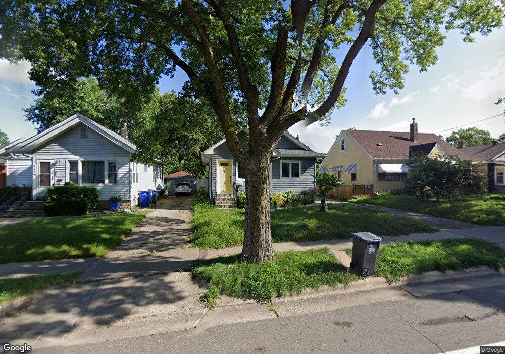
1051 Minnehaha Ave W Saint Paul, MN 55104
Frogtown NeighborhoodEstimated Value: $253,000 - $292,000
2
Beds
1
Bath
1,265
Sq Ft
$215/Sq Ft
Est. Value
About This Home
This home is located at 1051 Minnehaha Ave W, Saint Paul, MN 55104 and is currently estimated at $272,175, approximately $215 per square foot. 1051 Minnehaha Ave W is a home located in Ramsey County with nearby schools including Maxfield Magnet Elementary School, Hidden River Middle School, and Central Senior High School.
Ownership History
Date
Name
Owned For
Owner Type
Purchase Details
Closed on
Apr 29, 2021
Sold by
Smith Shane and Smith Emily Rose
Bought by
Rusch Nicole A and Herron Angela
Current Estimated Value
Home Financials for this Owner
Home Financials are based on the most recent Mortgage that was taken out on this home.
Original Mortgage
$220,300
Interest Rate
2.9%
Mortgage Type
New Conventional
Purchase Details
Closed on
Apr 22, 2011
Sold by
Spero Properties Llc
Bought by
Wolff Emily R and Wolff Alexander J
Purchase Details
Closed on
Jul 7, 2006
Sold by
Villalobos Pamela V
Bought by
Haase Derrick W
Purchase Details
Closed on
Oct 2, 1997
Sold by
Holmes James and Holmes Patricia
Bought by
Villalobos Pamela
Create a Home Valuation Report for This Property
The Home Valuation Report is an in-depth analysis detailing your home's value as well as a comparison with similar homes in the area
Home Values in the Area
Average Home Value in this Area
Purchase History
| Date | Buyer | Sale Price | Title Company |
|---|---|---|---|
| Rusch Nicole A | $265,000 | Network Title Inc | |
| Wolff Emily R | $144,000 | -- | |
| Haase Derrick W | $130,000 | -- | |
| Villalobos Pamela | $45,000 | -- | |
| Rusch Nicole Nicole | $265,000 | -- |
Source: Public Records
Mortgage History
| Date | Status | Borrower | Loan Amount |
|---|---|---|---|
| Previous Owner | Rusch Nicole A | $220,300 | |
| Closed | Rusch Nicole Nicole | $220,300 |
Source: Public Records
Tax History Compared to Growth
Tax History
| Year | Tax Paid | Tax Assessment Tax Assessment Total Assessment is a certain percentage of the fair market value that is determined by local assessors to be the total taxable value of land and additions on the property. | Land | Improvement |
|---|---|---|---|---|
| 2025 | $5,308 | $279,300 | $22,500 | $256,800 |
| 2023 | $5,308 | $256,700 | $18,000 | $238,700 |
| 2022 | $3,180 | $268,400 | $18,000 | $250,400 |
| 2021 | $3,384 | $209,800 | $20,000 | $189,800 |
| 2020 | $3,152 | $224,700 | $10,700 | $214,000 |
| 2019 | $2,658 | $198,000 | $10,700 | $187,300 |
| 2018 | $2,236 | $166,800 | $10,700 | $156,100 |
| 2017 | $2,128 | $153,300 | $10,700 | $142,600 |
| 2016 | $2,054 | $0 | $0 | $0 |
| 2015 | $1,766 | $134,400 | $10,700 | $123,700 |
| 2014 | $2,076 | $0 | $0 | $0 |
Source: Public Records
Map
Nearby Homes
- 1030 Englewood Ave
- 999 Minnehaha Ave W
- 687 Lexington Pkwy N
- 1174 Lafond Ave
- 1215 Lafond Ave
- 1135 Charles Ave
- 1126 Charles Ave
- 1134 Charles Ave
- 1231 Thomas Ave
- 1258 Blair Ave
- 885 Edmund Ave
- 1174 Charles Ave
- 931 Sherburne Ave
- 877 Charles Ave
- 1282 Hewitt Ave
- 1294 Hubbard Ave
- 951 Front Ave
- 852 Edmund Ave
- 876 Charles Ave
- 1292 Taylor Ave W
- 1051 1051 Minnehaha Ave W
- 1045 Minnehaha Ave W
- 1055 Minnehaha Ave W
- 1045 1045 Minnehaha Ave W
- 1059 Minnehaha Ave W
- 1043 Minnehaha Ave W
- 1043 1043 Minnehaha Ave W
- 1063 Minnehaha Ave W
- 1050 Englewood Ave
- 1054 Englewood Ave
- 737 Oxford St N
- 1058 Englewood Ave
- 1069 Minnehaha Ave W
- 1060 Englewood Ave
- 726 Oxford St N
- 1050 Minnehaha Ave W
- 1044 Minnehaha Ave W
- 1058 Minnehaha Ave W
- 1040 Minnehaha Ave W
- 1064 Englewood Ave