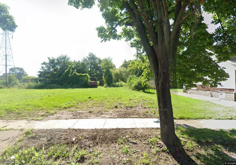
1051 S Liebold St Detroit, MI 48217
Boynton NeighborhoodEstimated Value: $26,833 - $96,000
--
Bed
1
Bath
1,248
Sq Ft
$52/Sq Ft
Est. Value
About This Home
This home is located at 1051 S Liebold St, Detroit, MI 48217 and is currently estimated at $64,278, approximately $51 per square foot. 1051 S Liebold St is a home located in Wayne County with nearby schools including Mark Twain Elementary-Middle School, Charles L. Spain Elementary-Middle School, and Edward 'Duke' Ellington Conservatory of Music and Art.
Ownership History
Date
Name
Owned For
Owner Type
Purchase Details
Closed on
Jan 12, 2017
Sold by
Sabree Eric R
Bought by
Detroit Land Bank Authority
Current Estimated Value
Purchase Details
Closed on
Jan 30, 2006
Sold by
Nations First Inc
Bought by
Stewart Eartha
Purchase Details
Closed on
Jun 30, 2004
Sold by
Bank One Na
Bought by
American Residential Equities Xxxii Llc
Purchase Details
Closed on
Apr 7, 2004
Sold by
Gholston Mary
Bought by
Bank One Na
Create a Home Valuation Report for This Property
The Home Valuation Report is an in-depth analysis detailing your home's value as well as a comparison with similar homes in the area
Home Values in the Area
Average Home Value in this Area
Purchase History
| Date | Buyer | Sale Price | Title Company |
|---|---|---|---|
| Detroit Land Bank Authority | -- | None Available | |
| Stewart Eartha | $20,000 | Downriver Title Agency | |
| American Residential Equities Xxxii Llc | -- | -- | |
| Bank One Na | $26,199 | -- |
Source: Public Records
Tax History Compared to Growth
Tax History
| Year | Tax Paid | Tax Assessment Tax Assessment Total Assessment is a certain percentage of the fair market value that is determined by local assessors to be the total taxable value of land and additions on the property. | Land | Improvement |
|---|---|---|---|---|
| 2025 | -- | $0 | $0 | $0 |
| 2024 | -- | $0 | $0 | $0 |
| 2023 | $0 | $0 | $0 | $0 |
| 2022 | -- | $0 | $0 | $0 |
| 2021 | $0 | $0 | $0 | $0 |
| 2020 | $1,404 | $0 | $0 | $0 |
| 2019 | $1,404 | $0 | $0 | $0 |
| 2018 | $0 | $900 | $0 | $0 |
| 2017 | $17 | $900 | $0 | $0 |
| 2016 | $1,147 | $10,700 | $0 | $0 |
| 2015 | $1,070 | $10,700 | $0 | $0 |
| 2013 | $1,189 | $11,887 | $0 | $0 |
| 2010 | -- | $17,032 | $509 | $16,523 |
Source: Public Records
Map
Nearby Homes
- 769 S Liddesdale St
- 1415 S Liddesdale St
- 1483 S Annabelle St
- 1501 S Annabelle St
- 1520 S Beatrice St
- 1320 S Bassett St
- 2580 S Schaefer Hwy
- 530 S Colonial St
- 147 Charles St
- 140 Division St
- 315 Beechwood St
- 193 Division St
- 17 W James St
- 22 W Henry St
- 2400 Schaefer Hwy
- 2400 S Annabelle St
- 19 E Cicotte St
- 111 Burke St
- 17150 Flora St
- 46 E James St
- 1065 S Liebold St
- 1043 S Liebold St
- 1072 S Liebold St
- 1071 S Liebold St
- 1035 S Liebold St
- 1058 S Liebold St
- 1050 S Liebold St
- 1064 S Liebold St
- 1042 S Liebold St
- 1079 S Liebold St
- 1029 S Liebold St
- 1036 S Liebold St
- 1028 S Liddesdale St
- 1085 S Liebold St
- 12441 Pleasant St
- 1030 S Liebold St
- 1080 S Liebold St
- 1056 S Liddesdale St
- 1046 S Liddesdale St
- 1064 S Liddesdale St