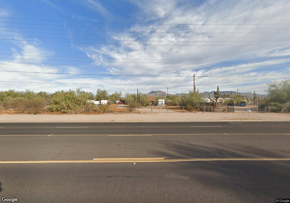
10534 E University Dr Apache Junction, AZ 85120
Northeast Mesa NeighborhoodEstimated Value: $354,000 - $498,000
Studio
--
Bath
832
Sq Ft
$498/Sq Ft
Est. Value
About This Home
This home is located at 10534 E University Dr, Apache Junction, AZ 85120 and is currently estimated at $414,116, approximately $497 per square foot. 10534 E University Dr is a home with nearby schools including Sousa Elementary School, Franklin at Brimhall Elementary School, and Franklin West Elementary School.
Ownership History
Date
Name
Owned For
Owner Type
Purchase Details
Closed on
Jan 10, 2008
Sold by
Tone David K and The Tone Revocable Trust
Bought by
Tone David K and The Tone Decedants Trust
Current Estimated Value
Purchase Details
Closed on
Aug 28, 2006
Sold by
Tone David Klove and Tone Madeline Joy
Bought by
Tone David K and Tone Madeline J
Purchase Details
Closed on
Sep 14, 2005
Sold by
Tone David Klove and Tone Madeline Joy
Bought by
Tone David K and Tone Madeline J
Purchase Details
Closed on
Apr 6, 1999
Sold by
Tone David Klove and Tone Madeline Joy
Bought by
Chpv Development Ii Llc
Create a Home Valuation Report for This Property
The Home Valuation Report is an in-depth analysis detailing your home's value as well as a comparison with similar homes in the area
Home Values in the Area
Average Home Value in this Area
Purchase History
| Date | Buyer | Sale Price | Title Company |
|---|---|---|---|
| Tone David K | -- | None Available | |
| Tone David K | -- | None Available | |
| Tone David K | -- | -- | |
| Chpv Development Ii Llc | $184,750 | Security Title Agency |
Source: Public Records
Tax History
| Year | Tax Paid | Tax Assessment Tax Assessment Total Assessment is a certain percentage of the fair market value that is determined by local assessors to be the total taxable value of land and additions on the property. | Land | Improvement |
|---|---|---|---|---|
| 2025 | $978 | $10,856 | -- | -- |
| 2024 | $990 | $10,339 | -- | -- |
| 2023 | $990 | $30,580 | $6,110 | $24,470 |
| 2022 | $966 | $24,850 | $4,970 | $19,880 |
| 2021 | $964 | $19,620 | $3,920 | $15,700 |
| 2020 | $956 | $16,700 | $3,340 | $13,360 |
| 2019 | $886 | $16,460 | $3,290 | $13,170 |
| 2018 | $864 | $13,760 | $2,750 | $11,010 |
| 2017 | $694 | $12,050 | $2,410 | $9,640 |
| 2016 | $679 | $11,000 | $2,200 | $8,800 |
Source: Public Records
Map
Nearby Homes
- 10620 E Caballero St
- 460 N 104th St
- 345 N Signal Butte Rd Unit 23
- 10257 E Cicero Cir
- 535 N Bailey Cir
- 10813 E Boston St
- 226 N 103rd Cir
- 242 N 102nd Place
- 10411 E 1st St
- 322 N Wesley
- 10540 E Apache Trail Unit 15
- 10540 E Apache Trail Unit 6
- 10540 E Apache Trail Unit 91
- 10540 E Apache Trail Unit 93
- 10540 E Apache Trail Unit 127
- 10540 E Apache Trail Unit 182
- 146 N Merrill Rd Unit 163
- 146 N Merrill Rd Unit 64
- 146 N Merrill Rd Unit 71
- 146 N Merrill Rd Unit 165
- 10543 E Cicero St
- 10549 E Cicero St
- 10555 E Cicero St
- 10561 E Cicero St
- 457 N Canfield
- 460 N Canfield
- 447 N 105th Place
- 463 N Canfield
- 10544 E Baltimore St
- 453 N 105th Place
- 466 N Canfield
- 501 N Canfield
- 459 N 105th Place
- 10620 E University Dr
- 10620 E University Dr
- 506 N Canfield
- 434 N 105th Place
- 465 N 105th Place
- 10404 E Baltimore St
- 440 N 105th Place
Your Personal Tour Guide
Ask me questions while you tour the home.