10537 Crackerbox Rd Oakdale, CA 95361
Estimated Value: $896,000 - $1,022,000
About This Home
This home is located at 10537 Crackerbox Rd, Oakdale, CA 95361 and is currently estimated at $950,025, approximately $426 per square foot. 10537 Crackerbox Rd is a home located in Stanislaus County with nearby schools including Magnolia Elementary School, Oakdale Junior High School, and Oakdale High School.
Ownership History
We collect this data history from publicly available records. To have your information removed, we recommend requesting removal directly through your county’s website.
Purchase Details
Purchase Details
Purchase History
We collect this data history from publicly available records. To have your information removed, we recommend requesting removal directly through your county’s website.
| Date | Buyer | Sale Price | Title Company |
|---|---|---|---|
| -- | None Available | ||
| -- | First American Title Co |
Tax History
We collect this data history from publicly available records. To have your information removed, we recommend requesting removal directly through your county’s website.
| Year | Tax Paid | Tax Assessment Tax Assessment Total Assessment is a certain percentage of the fair market value that is determined by local assessors to be the total taxable value of land and additions on the property. | Land | Improvement |
|---|---|---|---|---|
| 2025 | $6,331 | $535,665 | $188,656 | $347,009 |
| 2024 | $6,090 | $532,120 | $191,915 | $340,205 |
| 2023 | $5,948 | $519,729 | $186,194 | $333,535 |
| 2022 | $5,862 | $510,637 | $183,641 | $326,996 |
| 2021 | $5,708 | $494,364 | $173,779 | $320,585 |
| 2020 | $5,603 | $485,083 | $167,785 | $317,298 |
| 2019 | $5,492 | $472,648 | $161,571 | $311,077 |
| 2018 | $5,137 | $435,024 | $130,046 | $304,978 |
| 2017 | $4,986 | $419,848 | $120,849 | $298,999 |
| 2016 | $4,890 | $410,360 | $117,223 | $293,137 |
| 2015 | $4,838 | $404,752 | $116,018 | $288,734 |
| 2014 | $4,782 | $395,635 | $112,556 | $283,079 |
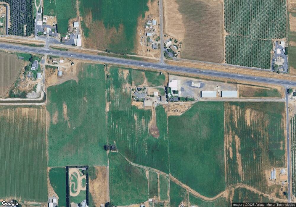
Map
- 10053 Sawyer Ave
- 10606 Pioneer Ave
- 0 N Pioneer Ave Unit 226024715
- 6731 River Rd
- 9906 Jackson Rd
- 9842 Jackson Rd
- 9591 Jackson Rd
- 294 New Ct
- 1109 Deitz Cir
- 214 Timberwood Dr
- 1677 Poplar St
- 12344 26 Mile Rd Unit 32
- 12344 26 Mile Rd
- 12344 26 Mile Rd Unit 11
- 1204 Maple Dr
- 20383 Sutliff Rd
- 1858 Pontiac St
- 2905 Woodhouse Ln
- 764 River Ave
- 1950 Blue Spruce Dr
- 10531 Crackerbox Rd
- 10717 Walnut Ave
- 10616 Walnut Ave
- 5306 Lon Dale Rd
- 5261 Lon Dale Rd
- 5256 Lon Dale Rd
- 5255 Lon Dale Rd
- 5249 Lon Dale Rd
- 5455 Wilkins Ave
- 5431 Wilkins Ave
- 5507 Wilkins Ave
- 5337 Wilkins Ave
- 5407 Wilkins Ave
- 5531 Wilkins Ave
- 5313 Wilkins Ave
- 0 Wilkins Ave
- 5743 Lon Dale Rd
- 5243 Wilkins Ave
- 10817 Walnut Ave
- 5243 Lon Dale Rd
Ask me questions while you tour the home.