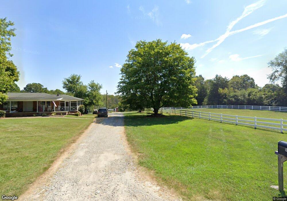
1054 Startown Rd Lincolnton, NC 28092
Estimated Value: $396,000 - $529,397
4
Beds
3
Baths
1,728
Sq Ft
$260/Sq Ft
Est. Value
About This Home
This home is located at 1054 Startown Rd, Lincolnton, NC 28092 and is currently estimated at $449,599, approximately $260 per square foot. 1054 Startown Rd is a home located in Lincoln County with nearby schools including Norris S. Childers Elementary School, Lincolnton Middle School, and Lincolnton High School.
Ownership History
Date
Name
Owned For
Owner Type
Purchase Details
Closed on
Jun 15, 2017
Sold by
Blazin Trai8ls Cowboy Church
Bought by
Tucker Charlotte Samantha
Current Estimated Value
Home Financials for this Owner
Home Financials are based on the most recent Mortgage that was taken out on this home.
Original Mortgage
$203,000
Outstanding Balance
$168,854
Interest Rate
4.02%
Mortgage Type
Purchase Money Mortgage
Estimated Equity
$280,745
Purchase Details
Closed on
Oct 8, 2015
Sold by
Wulfhorst D Todd
Bought by
Blazin Trails Cowboy Church Inc
Purchase Details
Closed on
Jun 12, 1995
Bought by
Trigg Janice P
Create a Home Valuation Report for This Property
The Home Valuation Report is an in-depth analysis detailing your home's value as well as a comparison with similar homes in the area
Home Values in the Area
Average Home Value in this Area
Purchase History
| Date | Buyer | Sale Price | Title Company |
|---|---|---|---|
| Tucker Charlotte Samantha | $203,000 | None Available | |
| Blazin Trails Cowboy Church Inc | -- | None Available | |
| Trigg Janice P | $121,500 | -- |
Source: Public Records
Mortgage History
| Date | Status | Borrower | Loan Amount |
|---|---|---|---|
| Open | Tucker Charlotte Samantha | $203,000 |
Source: Public Records
Tax History Compared to Growth
Tax History
| Year | Tax Paid | Tax Assessment Tax Assessment Total Assessment is a certain percentage of the fair market value that is determined by local assessors to be the total taxable value of land and additions on the property. | Land | Improvement |
|---|---|---|---|---|
| 2025 | $3,220 | $486,723 | $74,588 | $412,135 |
| 2024 | $3,180 | $486,723 | $74,588 | $412,135 |
| 2023 | $3,097 | $486,723 | $74,588 | $412,135 |
| 2022 | $1,969 | $229,057 | $57,726 | $171,331 |
| 2021 | $1,923 | $229,038 | $57,707 | $171,331 |
| 2020 | $1,532 | $229,038 | $57,707 | $171,331 |
| 2019 | $1,532 | $229,038 | $57,707 | $171,331 |
| 2018 | $1,724 | $208,630 | $54,107 | $154,523 |
| 2017 | $1,358 | $208,630 | $54,107 | $154,523 |
| 2016 | $297 | $208,630 | $54,107 | $154,523 |
| 2015 | $1,589 | $208,630 | $54,107 | $154,523 |
| 2014 | $1,736 | $235,116 | $56,075 | $179,041 |
Source: Public Records
Map
Nearby Homes
- 801 N Grove St
- 502 Forney Ave
- 2350, 1912 N Aspen St
- 000 Better Brook Ln
- #168 Rolling Rd
- 316 N Government St
- 826 E Alexander St
- 1939 River Rd
- 411 W Sycamore St
- 1712 Cline Farm Rd
- 611 W Main Street Extension
- 4100 Summey Trail
- 1231 Better Brook Ln
- 536 Lincolnview Rd
- 627 W Main St
- 0 Hillard Ln
- 519 N State St
- 668 Riverside Dr
- 317 S High St
- 111 Newcastle Ave
- 1070 Startown Rd
- 1072 Startown Rd
- 1024 Startown Rd
- 1076 Startown Rd
- 1078 Startown Rd
- 1082 Startown Rd
- 1084 Startown Rd
- 1098 Startown Rd
- 1088 Startown Rd
- 1085 Startown Rd
- 1090 Startown Rd
- 1094 Startown Rd
- 1096 Startown Rd
- 1005 Startown Rd
- 1100 Startown Rd
- 1102 Startown Rd
- 1133 Startown Rd
- 979 Startown Rd
- 1150 Startown Rd
- 1150 Startown Rd Unit 1