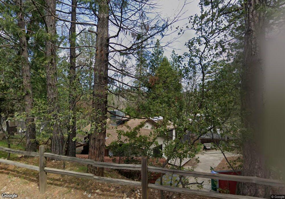
1055 Thompson Way Placerville, CA 95667
Estimated Value: $269,000 - $337,000
2
Beds
1
Bath
804
Sq Ft
$373/Sq Ft
Est. Value
About This Home
This home is located at 1055 Thompson Way, Placerville, CA 95667 and is currently estimated at $300,214, approximately $373 per square foot. 1055 Thompson Way is a home located in El Dorado County with nearby schools including El Dorado High School, Country Day Montessori, and El Dorado Adventist School.
Ownership History
Date
Name
Owned For
Owner Type
Purchase Details
Closed on
Jan 5, 2009
Sold by
Hart Judith B and Stockdale Judith B
Bought by
Hart Judith B and Sorby Thomas Bradley
Current Estimated Value
Purchase Details
Closed on
Feb 11, 2008
Sold by
Stockdale Judith B
Bought by
Stockdale Judith B and Sorby Thomas Bradley
Purchase Details
Closed on
Mar 27, 2006
Sold by
Stockdale Timothy
Bought by
Stockdale Judith B
Home Financials for this Owner
Home Financials are based on the most recent Mortgage that was taken out on this home.
Original Mortgage
$93,200
Interest Rate
6.25%
Mortgage Type
Credit Line Revolving
Purchase Details
Closed on
Jan 4, 2006
Sold by
Stockdale Timothy and Stockdale Judi B
Bought by
Stockdale Timothy and Stockdale Judi B
Home Financials for this Owner
Home Financials are based on the most recent Mortgage that was taken out on this home.
Original Mortgage
$40,000
Interest Rate
6.25%
Mortgage Type
New Conventional
Purchase Details
Closed on
Nov 6, 2003
Sold by
Stockdale Timothy
Bought by
Stockdale Timothy and Stockdale Judi B
Purchase Details
Closed on
Jul 16, 2003
Sold by
Stockdale Judith B
Bought by
Stockdale Timothy
Home Financials for this Owner
Home Financials are based on the most recent Mortgage that was taken out on this home.
Original Mortgage
$135,000
Interest Rate
5.15%
Mortgage Type
Purchase Money Mortgage
Purchase Details
Closed on
Jun 24, 1999
Sold by
Cardoza Manuel
Bought by
Stockdale Timothy
Home Financials for this Owner
Home Financials are based on the most recent Mortgage that was taken out on this home.
Original Mortgage
$103,333
Interest Rate
7.2%
Mortgage Type
FHA
Purchase Details
Closed on
Dec 21, 1998
Sold by
Purdy Timothy V and Purdy Deena L
Bought by
Cardoza Manuel
Home Financials for this Owner
Home Financials are based on the most recent Mortgage that was taken out on this home.
Original Mortgage
$75,961
Interest Rate
6.91%
Mortgage Type
FHA
Create a Home Valuation Report for This Property
The Home Valuation Report is an in-depth analysis detailing your home's value as well as a comparison with similar homes in the area
Home Values in the Area
Average Home Value in this Area
Purchase History
| Date | Buyer | Sale Price | Title Company |
|---|---|---|---|
| Hart Judith B | -- | None Available | |
| Stockdale Judith B | -- | None Available | |
| Stockdale Judith B | -- | Fidelity National Title Co | |
| Stockdale Timothy | -- | Fidelity National Title Co | |
| Stockdale Timothy | -- | -- | |
| Stockdale Timothy | -- | Placer Title Co | |
| Stockdale Timothy | $104,000 | Placer Title Company | |
| Cardoza Manuel | $76,000 | Chicago Title Co |
Source: Public Records
Mortgage History
| Date | Status | Borrower | Loan Amount |
|---|---|---|---|
| Previous Owner | Stockdale Judith B | $93,200 | |
| Previous Owner | Stockdale Timothy | $40,000 | |
| Previous Owner | Stockdale Timothy | $135,000 | |
| Previous Owner | Stockdale Timothy | $103,333 | |
| Previous Owner | Cardoza Manuel | $75,961 |
Source: Public Records
Tax History
| Year | Tax Paid | Tax Assessment Tax Assessment Total Assessment is a certain percentage of the fair market value that is determined by local assessors to be the total taxable value of land and additions on the property. | Land | Improvement |
|---|---|---|---|---|
| 2025 | $1,610 | $159,819 | $52,648 | $107,171 |
| 2024 | $1,610 | $156,686 | $51,616 | $105,070 |
| 2023 | $1,590 | $153,614 | $50,604 | $103,010 |
| 2022 | $1,567 | $150,603 | $49,612 | $100,991 |
| 2021 | $1,548 | $147,651 | $48,640 | $99,011 |
| 2020 | $1,524 | $146,138 | $48,142 | $97,996 |
| 2019 | $1,505 | $143,274 | $47,199 | $96,075 |
| 2018 | $1,459 | $140,466 | $46,274 | $94,192 |
| 2017 | $1,436 | $137,713 | $45,367 | $92,346 |
| 2016 | $1,414 | $135,014 | $44,478 | $90,536 |
| 2015 | $1,348 | $132,988 | $43,811 | $89,177 |
| 2014 | $1,348 | $130,384 | $42,953 | $87,431 |
Source: Public Records
Map
Nearby Homes
- 678 Main St
- 3095 Cedar Ravine Rd
- 0 Trails End Dr Unit 225117516
- 2977 Mosquito Rd
- 2921 Miller Way
- 3166 Cedar Ravine Rd
- 8325 County Rd M44
- 3113 Clark St
- 2660 Clay St
- 3032 Lewis St
- 949 Bliss Ct
- 3124 Clark St
- 901 Union St
- 2940 Anderson Way
- 850 Blue Bell Ct
- 3237 Francis Ave
- 910 Reservoir St
- 813 Blue Bell Ct
- 1094 Estey Ct
- 5 Estey Way
Your Personal Tour Guide
Ask me questions while you tour the home.