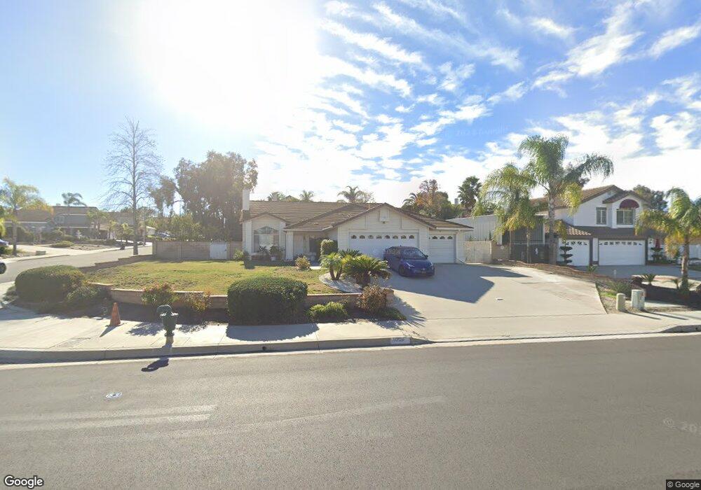
1056 Cannon Rd Riverside, CA 92506
Mission Grove NeighborhoodEstimated Value: $707,537 - $766,000
4
Beds
3
Baths
2,135
Sq Ft
$347/Sq Ft
Est. Value
About This Home
This home is located at 1056 Cannon Rd, Riverside, CA 92506 and is currently estimated at $741,634, approximately $347 per square foot. 1056 Cannon Rd is a home located in Riverside County with nearby schools including William Howard Taft Elementary School, Amelia Earhart Middle School, and Martin Luther King Junior High School.
Ownership History
Date
Name
Owned For
Owner Type
Purchase Details
Closed on
Oct 21, 2000
Sold by
Du Steve and Vo My Dung
Bought by
Vo Tien Dung and Vo Kellie Thuy
Current Estimated Value
Purchase Details
Closed on
Aug 30, 2000
Sold by
Cronin Joseph J and Cronin Phyllis E
Bought by
Cronin Joseph J and Cronin Phyllis E
Create a Home Valuation Report for This Property
The Home Valuation Report is an in-depth analysis detailing your home's value as well as a comparison with similar homes in the area
Home Values in the Area
Average Home Value in this Area
Purchase History
| Date | Buyer | Sale Price | Title Company |
|---|---|---|---|
| Vo Tien Dung | -- | Southland Title Corporation | |
| Cronin Joseph J | -- | -- |
Source: Public Records
Tax History
| Year | Tax Paid | Tax Assessment Tax Assessment Total Assessment is a certain percentage of the fair market value that is determined by local assessors to be the total taxable value of land and additions on the property. | Land | Improvement |
|---|---|---|---|---|
| 2025 | $3,591 | $329,446 | $112,996 | $216,450 |
| 2023 | $3,575 | $316,655 | $108,609 | $208,046 |
| 2022 | $3,509 | $310,447 | $106,480 | $203,967 |
| 2021 | $3,468 | $304,361 | $104,393 | $199,968 |
| 2020 | $3,442 | $301,241 | $103,323 | $197,918 |
| 2019 | $3,378 | $295,336 | $101,298 | $194,038 |
| 2018 | $3,313 | $289,546 | $99,313 | $190,233 |
| 2017 | $3,254 | $283,869 | $97,366 | $186,503 |
| 2016 | $3,046 | $278,304 | $95,457 | $182,847 |
| 2015 | $3,003 | $274,125 | $94,024 | $180,101 |
| 2014 | $2,975 | $268,757 | $92,183 | $176,574 |
Source: Public Records
Map
Nearby Homes
- 901 Clearwood Ave
- 120 Sandpoint Ln
- 1087 Mission Grove Pkwy N
- 6910 Sandtrack Rd
- 7130 Tiverton Way
- 7158 Golden Vale Dr
- 6801 Rycroft Dr
- 6568 Balzac Cir
- 7007 Golden Vale Dr
- 6746 Alderpoint Ct
- 7320 Barnstable Place
- 200 E Alessandro Blvd Unit 34
- 200 E Alessandro Blvd Unit 94
- 1327 Melville Dr
- 7390 Corinthian Way
- 14119 Ashton Ln
- 0 Via Vista Dr Unit IV25239083
- 1719 Crystal Ridge Ct
- 7639 Hillhurst Dr
- 7282 Magnon Ct
- 1070 Cannon Rd
- 1055 Sunlight Cir
- 7000 Westport St
- 1069 Sunlight Cir
- 1084 Cannon Rd
- 7006 Westport St
- 1059 Cannon Rd
- 1051 Cannon Rd
- 7012 Westport St
- 6998 Southridge Dr
- 1043 Cannon Rd
- 1030 Cannon Rd
- 1092 Sunlight Cir
- 1098 Cannon Rd
- 6995 Seiser Ct
- 7018 Westport St
- 1035 Cannon Rd
- 1054 Sunlight Cir
- 1068 Sunlight Cir
- 6994 Southridge Dr
Your Personal Tour Guide
Ask me questions while you tour the home.