1056 High Point Ln Lakeside, MT 59922
Estimated Value: $435,000 - $468,000
--
Bed
--
Bath
--
Sq Ft
6.98
Acres
About This Home
This home is located at 1056 High Point Ln, Lakeside, MT 59922 and is currently estimated at $451,500. 1056 High Point Ln is a home located in Flathead County with nearby schools including Lakeside Elementary School, Somers Middle School, and Flathead High School.
Ownership History
Date
Name
Owned For
Owner Type
Purchase Details
Closed on
Sep 13, 2023
Sold by
Solid Ground Sales Llc
Bought by
Young Angela M
Current Estimated Value
Purchase Details
Closed on
Sep 12, 2023
Sold by
Nine3nine4 Llc and Crippen Ken C
Bought by
Solid Ground Sales Llc
Purchase Details
Closed on
Jul 5, 2018
Sold by
Crippen Ken C
Bought by
Nine3nine4 L L C
Purchase Details
Closed on
Jul 3, 2018
Sold by
Nelson Marianne F and Crippen Marianne F
Bought by
Crippen Kenneth C
Purchase Details
Closed on
Sep 26, 2006
Sold by
Montana Eagle Development Llc
Bought by
Crippen Ken C and Crippen Marianne
Home Financials for this Owner
Home Financials are based on the most recent Mortgage that was taken out on this home.
Original Mortgage
$293,441
Interest Rate
6.44%
Mortgage Type
Purchase Money Mortgage
Create a Home Valuation Report for This Property
The Home Valuation Report is an in-depth analysis detailing your home's value as well as a comparison with similar homes in the area
Home Values in the Area
Average Home Value in this Area
Purchase History
| Date | Buyer | Sale Price | Title Company |
|---|---|---|---|
| Young Angela M | -- | None Listed On Document | |
| Solid Ground Sales Llc | -- | None Listed On Document | |
| Nine3nine4 L L C | $75,000 | None Available | |
| Crippen Kenneth C | -- | Alliance Title Co | |
| Crippen Ken C | -- | Flathead County Title Compan |
Source: Public Records
Mortgage History
| Date | Status | Borrower | Loan Amount |
|---|---|---|---|
| Previous Owner | Crippen Ken C | $293,441 |
Source: Public Records
Tax History Compared to Growth
Tax History
| Year | Tax Paid | Tax Assessment Tax Assessment Total Assessment is a certain percentage of the fair market value that is determined by local assessors to be the total taxable value of land and additions on the property. | Land | Improvement |
|---|---|---|---|---|
| 2025 | $1,319 | $421,620 | $0 | $0 |
| 2024 | $1,757 | $321,840 | $0 | $0 |
| 2023 | $1,103 | $197,140 | $0 | $0 |
| 2022 | $747 | $95,572 | $0 | $0 |
| 2021 | $727 | $95,572 | $0 | $0 |
| 2020 | $939 | $118,612 | $0 | $0 |
| 2019 | $926 | $118,612 | $0 | $0 |
| 2018 | $1,160 | $143,726 | $0 | $0 |
| 2017 | $1,071 | $143,726 | $0 | $0 |
| 2016 | $1,404 | $197,084 | $0 | $0 |
| 2015 | $1,457 | $197,084 | $0 | $0 |
| 2014 | $2,609 | $224,699 | $0 | $0 |
Source: Public Records
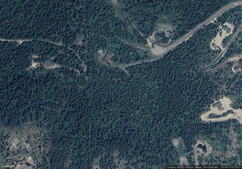
Map
Nearby Homes
- 360 Ridge Line Dr
- 149 Monet Rd
- 103 Tamarack Woods Dr
- 108 Spoklie Dr
- 458 Political Hill Rd
- 480 Political Hill Rd
- 100 Political Hill Rd
- 207 Stoner Loop Unit A
- 177 Blacktail Loop
- 166 Blacktail Rd
- 316 Spurwing Loop
- 328 Spurwing Loop
- 593 Grayling Rd
- 111 Blacktail Rd
- 595 Grayling Rd
- 16 Blacktail Ct
- 123 Blacktail Loop
- 500 Conrad Point Rd
- 129 Blacktail Loop
- 212 Sunrise Ln
- 1038 High Point Ln Unit PHASE 3 LOT 12
- 1038 High Point Ln
- 1074 High Point Ln
- 1057 High Point Ln Unit Lot 8
- 1057 High Point Ln
- 1057 High Point Lane Lot 8
- 1075 High Point Ln
- 1075 High Point Ln Unit PH 3 LOT 9
- 1075 High Point Ln Unit Lot 9
- 1075 High Point Lane Lot 9
- 1039 High Point Ln
- 1039 High Point Ln Unit PH 3 LOT 7
- 1039 High Point Ln Unit Lot 7
- 1039 High Point Lane Lot 7
- 1020 High Point Ln
- 245 Ridge Line Dr
- 47 Apple Ridge Trail
- 350 Tamarack Woods Dr
- 173 Ridge Line Dr
- 227 Ridge Line Dr