1056 W Forrest St La Follette, TN 37766
Estimated Value: $65,791 - $139,000
--
Bed
--
Bath
--
Sq Ft
0.28
Acres
About This Home
This home is located at 1056 W Forrest St, La Follette, TN 37766 and is currently estimated at $97,264. 1056 W Forrest St is a home with nearby schools including Calvary Christian Academy.
Ownership History
Date
Name
Owned For
Owner Type
Purchase Details
Closed on
May 25, 2023
Sold by
Gamble Jeffrey
Bought by
Norris Ventures Llc
Current Estimated Value
Purchase Details
Closed on
Mar 29, 2023
Sold by
Davis Shelby W
Bought by
Blue Sky Holdings Trust
Purchase Details
Closed on
Mar 4, 2002
Sold by
Kitts Donald
Bought by
Davis Shelby
Purchase Details
Closed on
Jul 11, 1991
Bought by
Kitts Donald Lee and Wilma Jean
Purchase Details
Closed on
Jul 8, 1987
Bought by
Asbury Clois Dean and Asbury Lisa R
Purchase Details
Closed on
Jan 3, 1900
Purchase Details
Closed on
Jan 2, 1900
Create a Home Valuation Report for This Property
The Home Valuation Report is an in-depth analysis detailing your home's value as well as a comparison with similar homes in the area
Home Values in the Area
Average Home Value in this Area
Purchase History
| Date | Buyer | Sale Price | Title Company |
|---|---|---|---|
| Norris Ventures Llc | $40,000 | None Listed On Document | |
| Norris Ventures Llc | $40,000 | None Listed On Document | |
| Blue Sky Holdings Trust | -- | -- | |
| Blue Sky Holdings Trust | -- | None Listed On Document | |
| Davis Shelby | $6,000 | -- | |
| Kitts Donald Lee | $27,600 | -- | |
| Asbury Clois Dean | -- | -- | |
| -- | -- | -- | |
| -- | -- | -- |
Source: Public Records
Tax History Compared to Growth
Tax History
| Year | Tax Paid | Tax Assessment Tax Assessment Total Assessment is a certain percentage of the fair market value that is determined by local assessors to be the total taxable value of land and additions on the property. | Land | Improvement |
|---|---|---|---|---|
| 2025 | -- | $4,500 | $0 | $0 |
| 2024 | -- | $4,500 | $4,375 | $125 |
| 2023 | $70 | $2,075 | $1,950 | $125 |
| 2022 | $70 | $2,075 | $1,950 | $125 |
| 2021 | $70 | $2,075 | $1,950 | $125 |
| 2020 | $69 | $2,075 | $1,950 | $125 |
| 2019 | $70 | $2,075 | $1,950 | $125 |
| 2018 | $61 | $1,725 | $1,600 | $125 |
| 2017 | $61 | $1,725 | $1,600 | $125 |
| 2016 | $61 | $1,725 | $1,600 | $125 |
| 2015 | $57 | $1,725 | $1,600 | $125 |
| 2014 | -- | $1,725 | $1,600 | $125 |
| 2013 | -- | $1,725 | $1,600 | $125 |
Source: Public Records
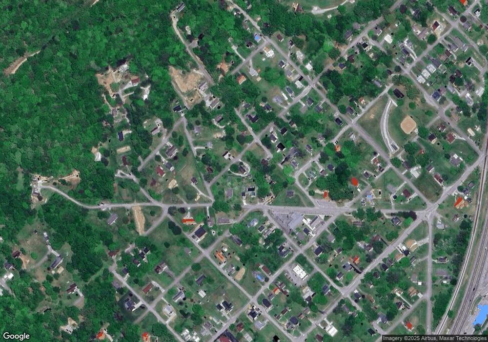
Map
Nearby Homes
- 1009 W Forrest St
- 302 West Ave
- 216 West Ave
- 1008 W Forrest St
- 308 West Ave
- 310 N Twenty 1st St
- 308 E Forrest St Unit TWENTY
- 308 N 21st St
- 310 Twenty 1st St
- 1000 W Forrest St
- 306 E Forrest St Unit TWENTY
- 1012 W Forrest St
- 916 W Prospect St
- 408 Short St
- 406 Short St
- 913 W Forrest St
- 212 West Ave
- 916 W Forrest St
- 910 W Prospect St
- 263 N 1st St Unit TWENTY